Archives

All posts by Mark

Saturday October 11, 2014, 80 miles (129 km) – Total so far: 122 miles (196 km)

Here is the route we took to avoid the gigantic hills around Vanderpool and Camp Wood. It was still a hilly ride but not as bad as the route on the Adventure Cycling maps. From Uvalde we took Farm Rd. 1023 east for 18 miles to Rt. 90 E for 2 miles to The small town of Sabinal. Then we took 187 for 21 miles to Utopia. From there we rode Rt. 470 E to Rt. 16 which heads into Bandera, the Cowboy Capitol of Texas. Here are today’s photos.
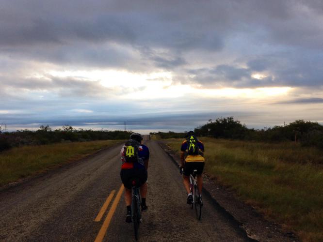
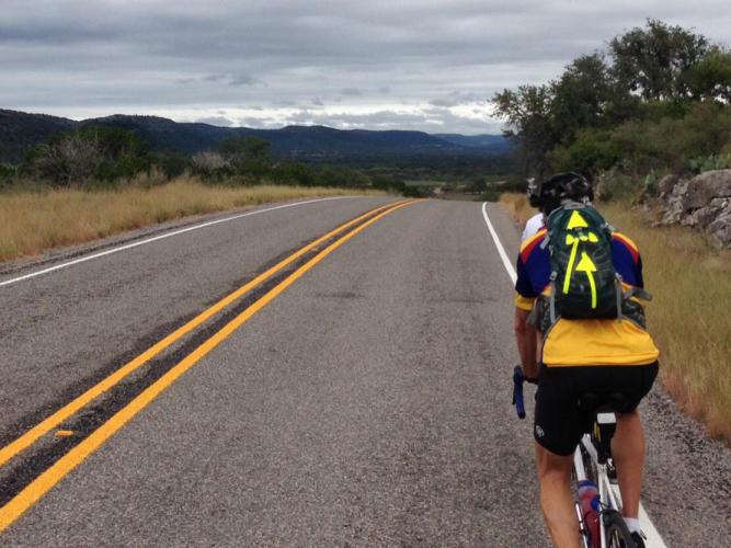
It was cloudy and overcast all day with terrible headwinds for the first 65 miles. This is Farm Road 1023 and there was no traffic at all.
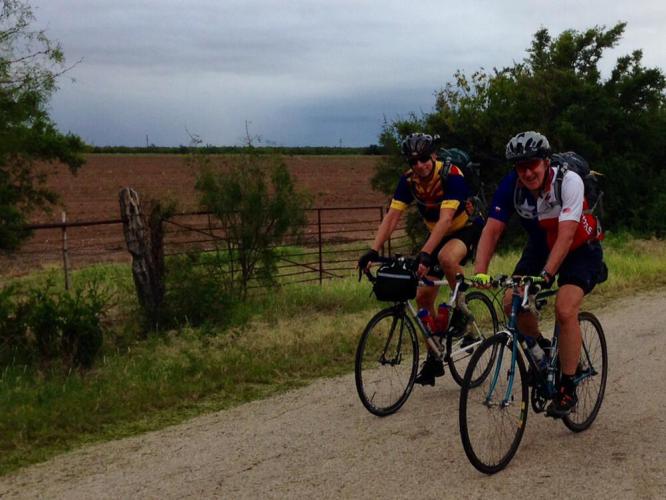
It was cloudy and overcast all day with terrible headwinds for the first 65 miles. This is Farm Road 1023 and there was no traffic at all.

This is along Rt. 187.
This is along Rt. 187.

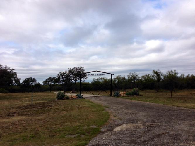
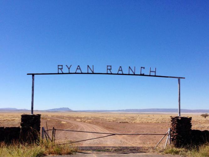
Beautiful ranch entrances are the norm.
Beautiful ranch entrances are the norm.

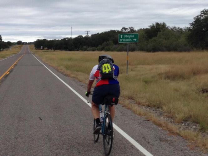
Utopia is 15 miles away.
Utopia is 15 miles away.

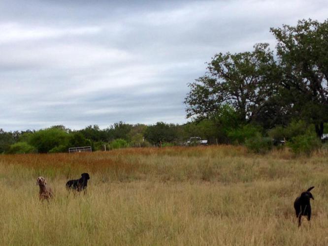
The highlight of my day was watching Tim being chased by 3 dogs. He sprinted, yelled and swatted as the black labs nipped at his ankles. It was funny because we had made friends with them and when Tim started to ride away, they pursued. The owner heard all the barking and called them back so I wasn't chased.

The highlight of my day was watching Tim being chased by 3 dogs. He sprinted, yelled and swatted as the black labs nipped at his ankles. It was funny because we had made friends with them and when Tim started to ride away, they pursued. The owner heard all the barking and called them back so I wasn’t chased.
Along Rt. 470. You can see the hills in the distance.
Along Rt. 470. You can see the hills in the distance.

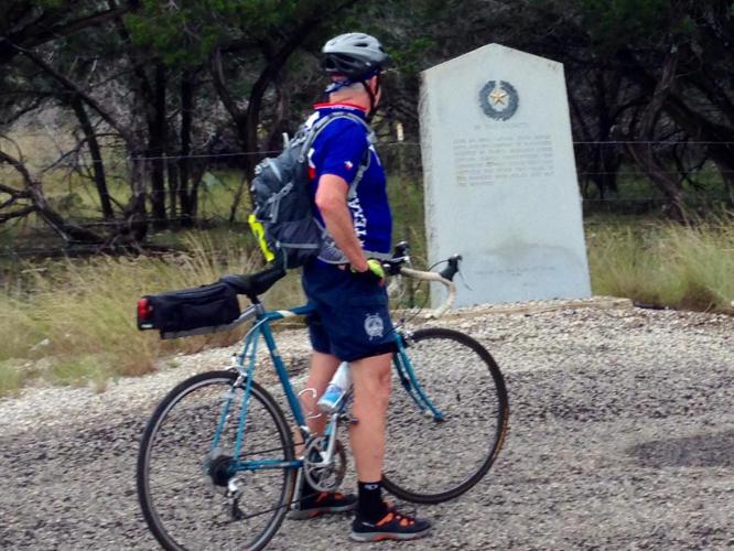
Believe it or not, this is Tim at an historical marker. Late in the afternoon, he actually wanted to finish the ride so bad that he passed one without stopping. You know it must have been a hard ride for that to happen!
Believe it or not, this is Tim at an historical marker. Late in the afternoon, he actually wanted to finish the ride so bad that he passed one without stopping. You know it must have been a hard ride for that to happen!

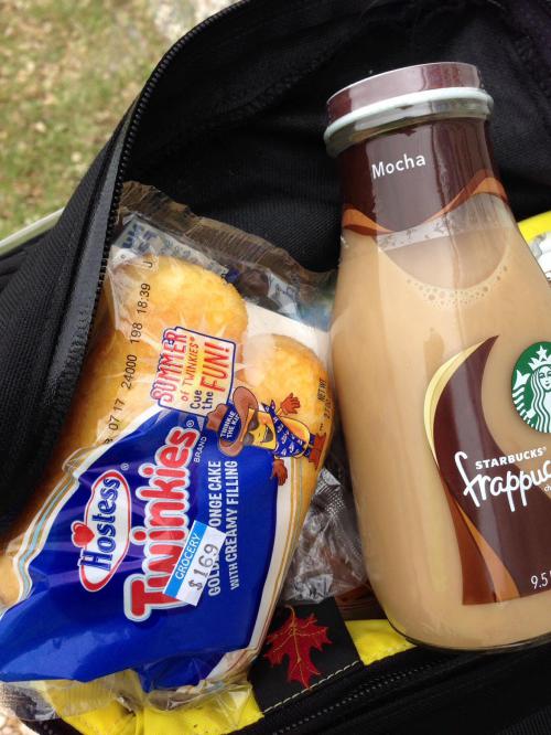
What a snack! Haven't had one in years and it was delicious.
What a snack! Haven’t had one in years and it was delicious.

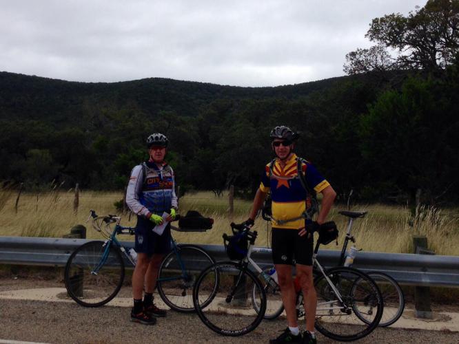
One of our last stops. Tim and I put on jackets as it was in the low 60's.

One of our last stops. Tim and I put on jackets as it was in the low 60’s.
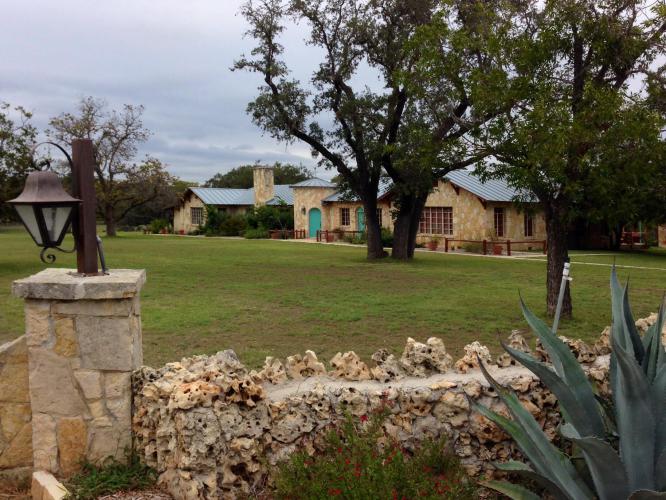
The Diamond H Bed and Breakfast in Bandera. Very nice accommodations.
The Diamond H Bed and Breakfast in Bandera. Very nice accommodations.

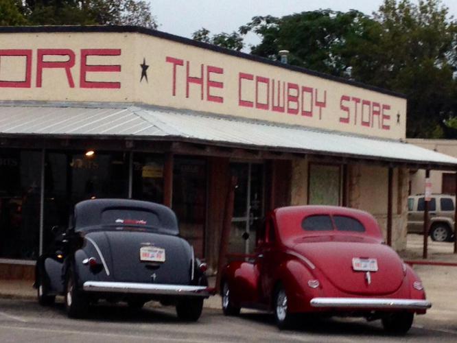
Downtown Bandera.
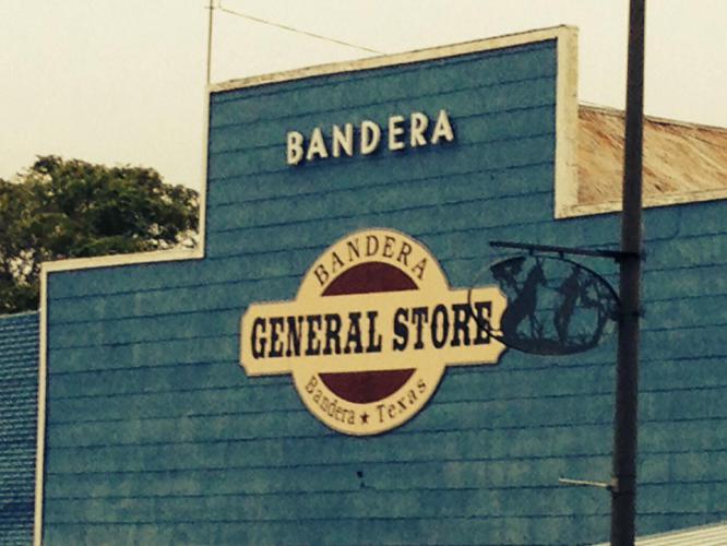
Downtown Bandera.

zvtdOn_image

Dinner was filling. This place had great, hot spicy Salsa.

Dinner was filling. This place had great, hot spicy Salsa.

Week 4 has begun. We left Fort Clark Springs at 8 this morning and headed East on Rt. 90 to Uvalde and arrived around noon. Temperature stayed at 79 and the clouds were thick but thankfully it never did rain except for a brief misting. The Fort Clark Springs motel was decent. No breakfast service so we had snacks in our rooms for breakfast. Tonight we are in the Holiday Inn Express in Uvalde and it’s great. Already did the hot tub and pool immediately after our ride. Tomorrow we rejoin the Adventure Cycling route in Bandera. I will miss Texas route 90. We have been on this road for about 500 miles, since Van Horn in West Texas.
We drove from San Antonio, about 120 miles, to start where we finished last years ride in Brackettville. Last year we finished in Brackettville by riding an extra 30 miles from Del Rio which is the end of map 3 on the adventure Cycling Southern Tier route across the USA.

We drove from San Antonio, about 120 miles, to start where we finished last years ride in Brackettville. Last year we finished in Brackettville by riding an extra 30 miles from Del Rio which is the end of map 3 on the adventure Cycling Southern Tier route across the USA.

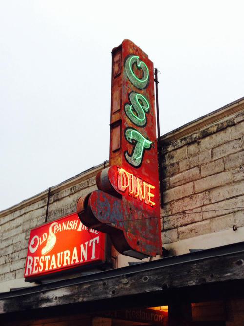
History of Fort Clark.

History of Fort Clark.

03

Very humid this morning. We all wear camel backs for hydration now. I really needed it today. I was thirsty.

Very humid this morning. We all wear camel backs for hydration now. I really needed it today. I was thirsty.

Wind turbines in the distance. Cross wind today which beats a head wind anytime on the road.

Wind turbines in the distance. Cross wind today which beats a head wind anytime on the road.

Tim reading historical roadside marker. These are all over the roads and they have unique numbers so there might be a website directory.

Tim reading historical roadside marker. These are all over the roads and they have unique numbers so there might be a website directory.

Only one lane over this bridge. The tractor trailer drivers are much more bicycle friendly than pick up drivers. They slow down and move over. The pick ups don't do that but we all have mirrors and watch behind as well as to the front.

Only one lane over this bridge. The tractor trailer drivers are much more bicycle friendly than pick up drivers. They slow down and move over. The pick ups don’t do that but we all have mirrors and watch behind as well as to the front.

Friday October 11, 2013, 31 miles (50 km) – Total so far: 464 miles (746 km)

Eight straight days of bike riding are over and while feeling the need for rest, I feel a great sense of accomplishment. It was another great trip and all of our careful planning worked out. Overall, beautiful roads, comfortable hotels, delicious meals, very courteous drivers and friendly people along the way made this third leg of our journey equally as memorable as the first two. Texas has been a pleasant surprise for me. I have never really spent much time in the Lone Star State but discovered that Texans are rightfully proud of their enormous state. Although there was not the spectacular view from the top of Emory pass, or the view of the Pacific Ocean, it possesses its own type of desolate beauty. I look forward to two more weeks in the future to complete the ride all the way across Texas and into Louisiana. We were dropped off by the Sag Wagon in Bracketville and rode west for this short segment. We needed to dis-assemble our bikes and check out of the Hampton Inn by noon and then drive to San Antonio for our flight home. We reckoned (localism) that it would be safer to ride west at sunrise because the angle of the sun is directly in east bound drivers eyes, making that direction a bit hazardous for bike riders on the shoulder. We packed the car and left Del Rio around 7 a.m. Sunrise was 7:38 this morning. Unfortunately we got lost in the dark and almost drove right into Mexico. It turned out to be an overcast day and we had our first rainy ride (just a short drizzle, thankfully). This section is on the ACA map # 4 so we did get a little closer to San Antonio. For something completely different, I didn’t get a flat tire…good way to finish!

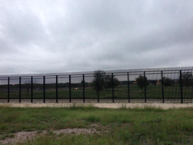
The border fence in Del Rio. We didn't want to go that way.

The border fence in Del Rio. We didn’t want to go that way.

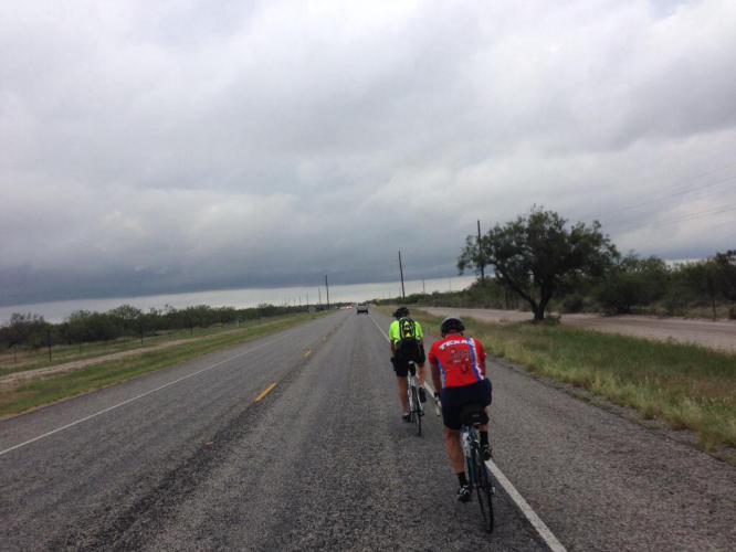
Rt. 90 west bound between Bracketville and Del Rio. A few minutes of drizzle and then it cleared up somewhat. The chip seal surface was especially rough until we crossed back into Val Verde County.

Rt. 90 west bound between Bracketville and Del Rio. A few minutes of drizzle and then it cleared up somewhat. The chip seal surface was especially rough until we crossed back into Val Verde County.

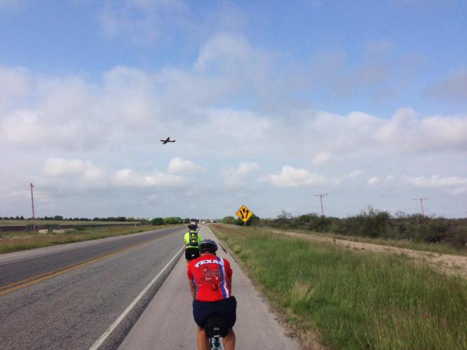
Trainer plane landing at Laughlin Air Force Base. The shoulder is smoother than the road here.

Trainer plane landing at Laughlin Air Force Base. The shoulder is smoother than the road here.

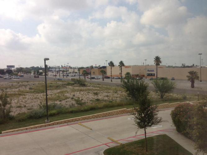
The view of a mall in Del Rio from the Hampton Inn.

The view of a mall in Del Rio from the Hampton Inn.

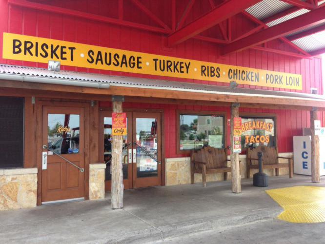
Rudy's Barbecue. We had dinner and lunch here. Great barbecue.

Rudy’s Barbecue. We had dinner and lunch here. Great barbecue.

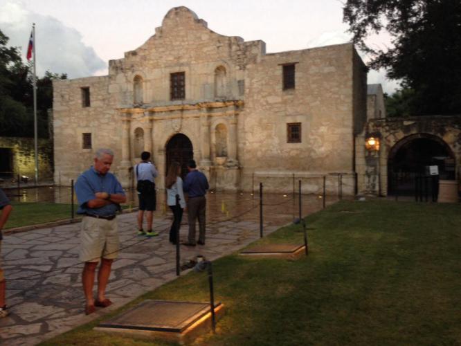
The Alamo in San Antonio.

The Alamo in San Antonio.

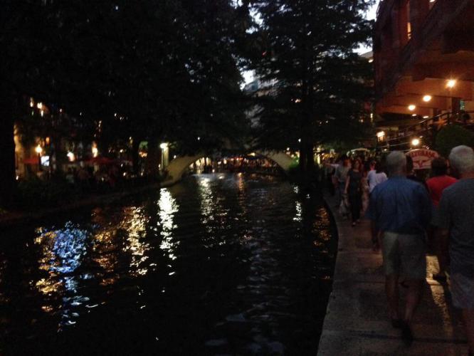
We had dinner on our last night at The Salt Grass Steakhouse on the River Walk.

We had dinner on our last night at The Salt Grass Steakhouse on the River Walk.

Our starting point for next year's ride.

Our starting point for next year’s ride.

Thursday October 10, 2013, 30 miles (49 km) – Total so far: 433 miles (696 km)

After all, the Brothers Bike Ride is about having fun. Yesterday was a blast…just not the fun kind of blast. The wind wrestled us to the ground in Comstock and we gladly cried uncle. Unfortunately, Tim is still feeling the effects of the half-Nelson wind strangle hold, and he elected to forgo today’s ride in order to ward off really getting sick. This morning at 8:30 a.m., Brian and I (at Tim’s urging) began to ride the last 30 miles of Leg 3. However, Ruth (our mother) didn’t raise no dummies, and we rode with the wind at our back and believe me when I say a song in our hearts! We followed Horace Greeley’s advice and went west, young man, riding back to Comstock from our hotel in Del Rio. Going west towards Comstock is uphill, but with 20 mph tailwinds, it made for quick, quiet, enjoyable riding. We had a blast—the good kind. Even another flat tire (me again! What’s up with me and flats?) didn’t diminish our elation because compared to yesterday, we felt like we were flying. We will wait and see if tomorrow Tim feels well enough to ride. Maybe we could still make it to Uvalde and be a little closer to San Antonio. If not then that is okay. The Brothers Bike Ride will return, to be continued…

Approaching the Amistad National Recreation Area. Today was the first time we had to deal with any humidity on any of the rides all the way back to San Diego.

Approaching the Amistad National Recreation Area. Today was the first time we had to deal with any humidity on any of the rides all the way back to San Diego.

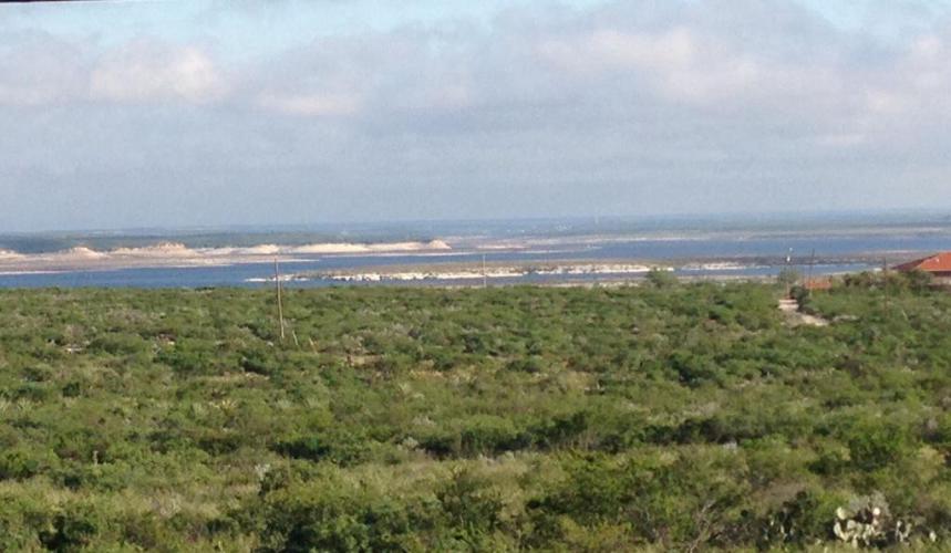
Another shot of the Amistad Reservoir at the confluence of the Rio Grande, the Devils River, and the Pecos River. Spanish for "friendship", it is located on the U.S. And Mexican border.

Another shot of the Amistad Reservoir at the confluence of the Rio Grande, the Devils River, and the Pecos River. Spanish for “friendship”, it is located on the U.S. And Mexican border.

0703

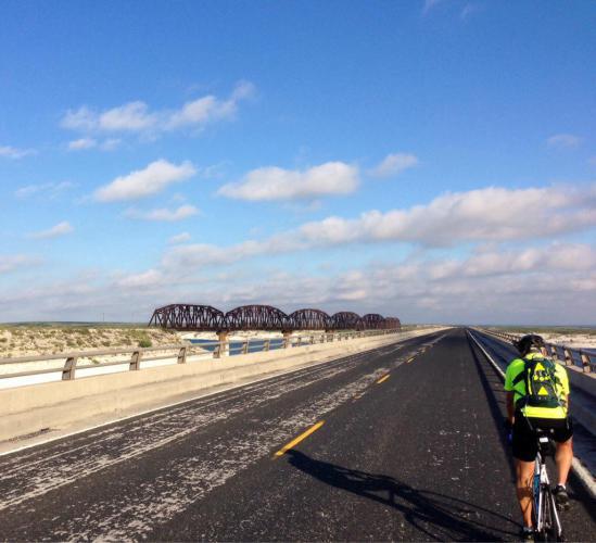
Another one handed courageous camera shot taken on the 2 mile long, very narrow and extremely hazardous bridge on Rt. 90. Notice that there are no shoulders. Only inches to spare if two vehicles overtake us at the same time. The lengths I go to so you people can vicariously enjoy beautiful photography. You are welcome. No cars passed us on the entire length. It was actually a really fun bridge to cross. That is a railroad crossing to the left.

Another one handed courageous camera shot taken on the 2 mile long, very narrow and extremely hazardous bridge on Rt. 90. Notice that there are no shoulders. Only inches to spare if two vehicles overtake us at the same time. The lengths I go to so you people can vicariously enjoy beautiful photography. You are welcome.
No cars passed us on the entire length. It was actually a really fun bridge to cross. That is a railroad crossing to the left.

This may well be the last picture of the unique vegetation we have enjoyed since El Paso.

This may well be the last picture of the unique vegetation we have enjoyed since El Paso.

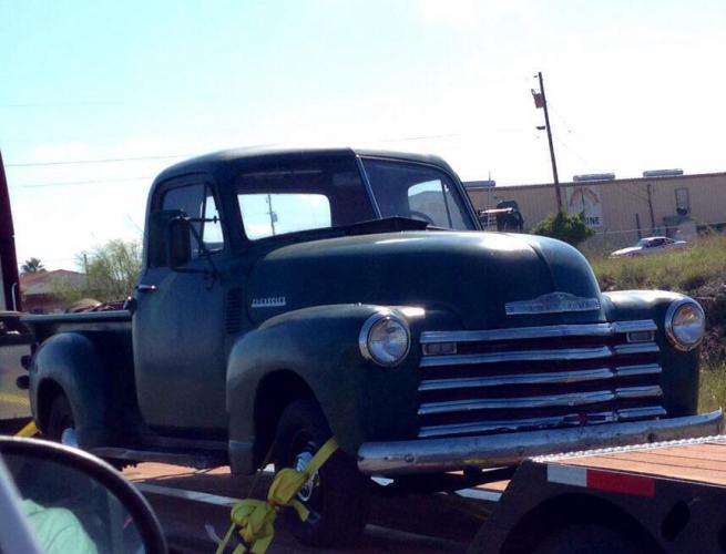
The grand daddy of "Silver," our Chevy Silverado pick up. Kevin or Ted, what year is this truck?

The grand daddy of “Silver,” our Chevy Silverado pick up. Kevin or Ted, what year is this truck?

This is for you, Patrick. Looks like I won you $10. Ride 'em, cowboy!

This is for you, Patrick. Looks like I won you $10. Ride ’em, cowboy!


Wednesday October 9, 2013, 60 miles (97 km) – Total so far: 402 miles (648 km)

The alarm went off at the same time, and we all met in the dark to pack the car with bikes and bags. We witnessed another beautiful sunrise as we began our cold morning ride in another West Texas town. It could be Fort Hancock, Van Horn, or Marathon—they are all running together as we work to accomplish this task of riding from El Paso to anywhere close to San Antonio. As beautiful as it is around here, it is beginning to look very much the same!

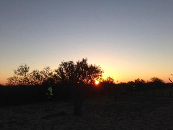
Sunrise at our drop off point picnic area on Rt. 90 about 5 miles east of Dryden.

Sunrise at our drop off point picnic area on Rt. 90 about 5 miles east of Dryden.

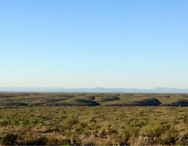
Another blue sky day in the cold morning air as we pedal along the expansive wide open range.

Another blue sky day in the cold morning air as we pedal along the expansive wide open range.

We had planned to ride 90 miles to Del Rio with an early morning start, hoping for at least a few hours of calm morning winds, but of course Mother Nature didn’t cooperate. We were forced to stop after 60 hard, long miles, making it only to Comstock. On this section, there are no services for many miles and there is no cell signal. Beth couldn’t track our progress and wasn’t surprised when we called for a pick up at 3:30 p.m.

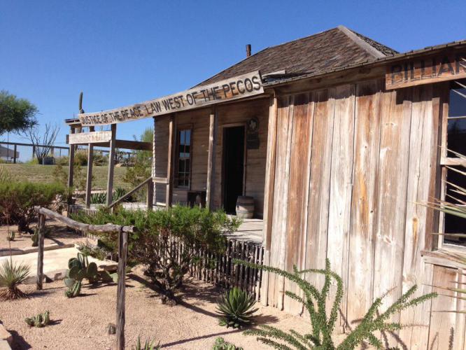
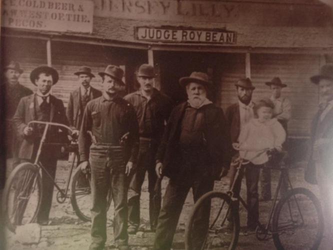
Langtry, TX is a ghost town with a visitor center and museum dedicated to Judge Roy Bean, the Law West of the Pecos. It was nice to find relief from the 15 to 20 mph headwinds.

Langtry, TX is a ghost town with a visitor center and museum dedicated to Judge Roy Bean, the Law West of the Pecos. It was nice to find relief from the 15 to 20 mph headwinds.

Judge Bean (in the center with the beard) and his bicycle club buddies.

Judge Bean (in the center with the beard) and his bicycle club buddies.

Long, steep rolling hills and headwinds made it a memorable day. (We won't remember the easy days.)

Long, steep rolling hills and headwinds made it a memorable day. (We won’t remember the easy days.)

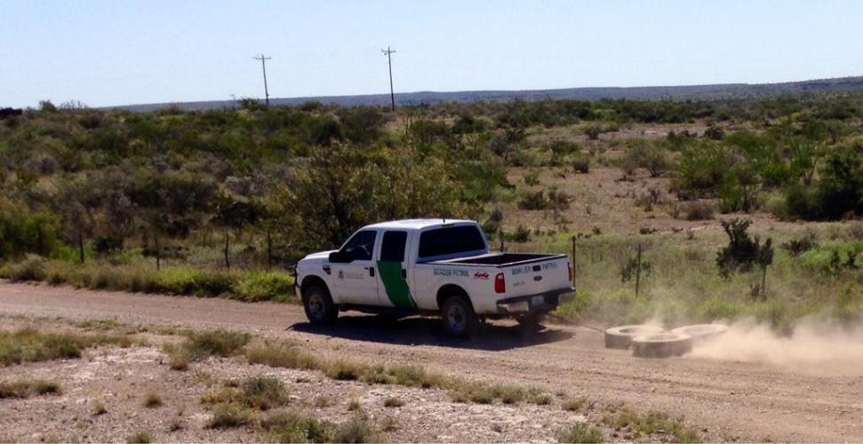
The border patrol drags tires to smooth the dirt and catch illegals leaving tracks. At least that is our guess what he was doing.

The border patrol drags tires to smooth the dirt and catch illegals leaving tracks. At least that is our guess what he was doing.

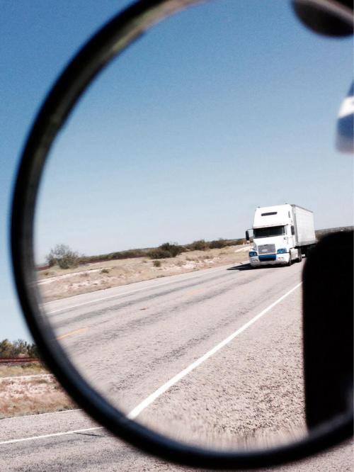
This is what I see in my mirror right before I yell to Tim and Brian, "Truck back!" Today I had to scream it due to the noise from the wind.

This is what I see in my mirror right before I yell to Tim and Brian, “Truck back!” Today I had to scream it due to the noise from the wind.

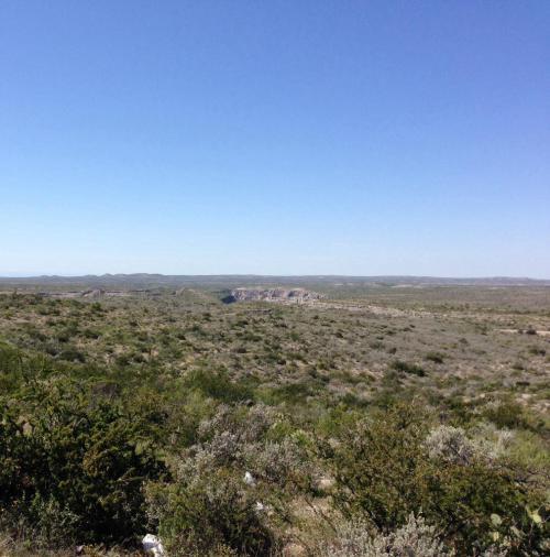
This was taken from a scenic overlook before we crossed the Pecos River and officially left west Texas behind. The Rio Grande and Mexico are out there in the distance. We took a break every chance we could as the day dragged on.

This was taken from a scenic overlook before we crossed the Pecos River and officially left west Texas behind. The Rio Grande and Mexico are out there in the distance. We took a break every chance we could as the day dragged on.

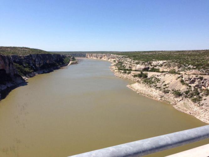
No break was taken to get this shot over the Pecos River. The river is 275 feet below the bridge. The crosswind was horrendous and I just held the handlebar with one hand and snapped away without taking my eyes off the road. Not a bad picture considering the circumstances. You won't see any images of the Pecos crossing from camera cowards Tim and Brian.

No break was taken to get this shot over the Pecos River. The river is 275 feet below the bridge. The crosswind was horrendous and I just held the handlebar with one hand and snapped away without taking my eyes off the road. Not a bad picture considering the circumstances. You won’t see any images of the Pecos crossing from camera cowards Tim and Brian.

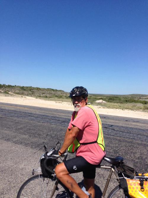
We met John Chapman who is going Coast to Coast to benefit no-kill animal shelters. "Miles for Mutts." Search for his blog on crazyguyonabike.com.

We met John Chapman who is going Coast to Coast to benefit no-kill animal shelters. “Miles for Mutts.” Search for his blog on crazyguyonabike.com.

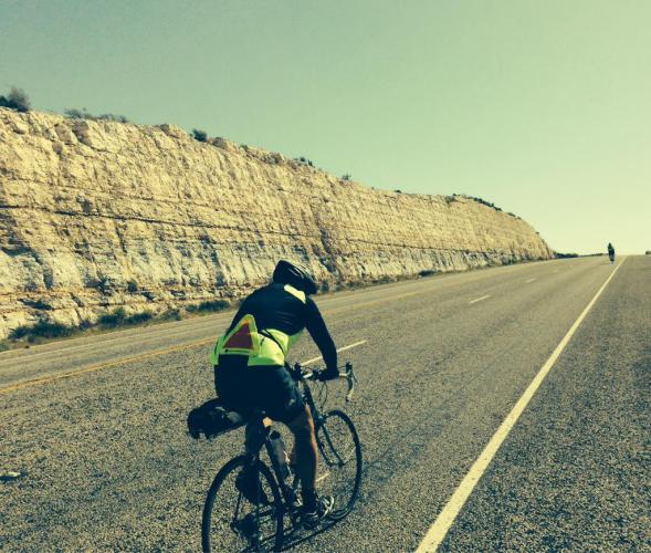
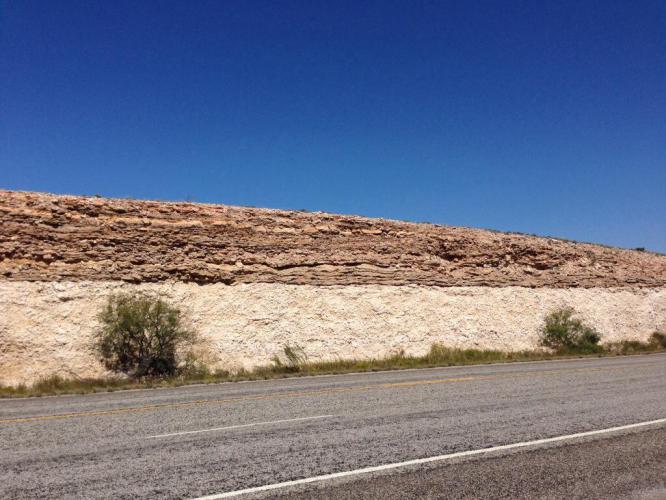
Interesting geology in the road embankment. We tried to stop between the walls for shelter from the wind but it didn't help very much.

Interesting geology in the road embankment. We tried to stop between the walls for shelter from the wind but it didn’t help very much.

Tuesday October 8, 2013, 86 miles (138 km) – Total so far: 342 miles (551 km)

Sunrise this morning in Marathon.

Sunrise this morning in Marathon.

More Texas eye candy. A very beautiful part of this great country.

More Texas eye candy. A very beautiful part of this great country.

Tim flying downhill before our first coffee break.

Tim flying downhill before our first coffee break.

Another day at the office.

Another day at the office.

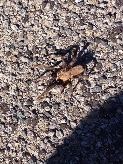
A tarantula looking for something to eat. We have noticed quite a few of these critters but it is hard to get one to pose for a snapshot. We also saw elk and deer and of course lots of cattle.

A tarantula looking for something to eat. We have noticed quite a few of these critters but it is hard to get one to pose for a snapshot. We also saw elk and deer and of course lots of cattle.

Today’s ride was blissful. We lost about 1500 feet or more of elevation. The wind was negligible for the most part, and we encountered very light traffic, beautiful blue skies, and warm temperatures. It was an easy 85-mile day. We are in Sanderson, TX, at the Outback Oasis Motel. It sure isn’t the Ritz, but it will do fine. Tomorrow we plan to make it to Del Rio.

Monday October 7, 2013, 55 miles (89 km) – Total so far: 257 miles (414 km)

Since we have Beth’s limousine and bicycle taxi service at our disposal, we decided to get dropped off in Fort Davis instead of back in Marfa, and ride from there to Alpine, TX, and on to Marathon. The distance is the same, and we wanted to see at least some of the Davis Mountains if we could. It was a good decision. The ride to Alpine was downhill and beautiful. The starting temp was about 50 degrees, and winds were not a factor. Once we were back on Rt. 90, the riding was very similar to what we experienced on the way to Marfa. Tonight we are staying in The Gage Hotel again. Actually, we are in a house run by the hotel, which is about a block away. It’s called the Captain Albion Sheperd House. He was the surveyor who started the town of Marathon in the late 19th century and this was his house. The Gage Hotel bought it and restored it and we are the first guests to occupy it.

Many of the ranch entrances have ornate signs like this.

Many of the ranch entrances have ornate signs like this.

Tim and Brian looking at the Davis Mountains in the distance.

Tim and Brian looking at the Davis Mountains in the distance.

Sometimes the bikes need a rest, too.

Sometimes the bikes need a rest, too.

Brian and a rider named John who works as a ranger at Fort Davis Park. He has off until the government shut down ends.

Brian and a rider named John who works as a ranger at Fort Davis Park. He has off until the government shut down ends.

0404

Wide open spaces in West Texas. It is so beautiful. I never tire looking at this scenery.

Wide open spaces in West Texas. It is so beautiful. I never tire looking at this scenery.

The Captain Shepard House. It has 5 private rooms with baths and a butler's kitchen. Beautiful landscaping but I forgot to get any pictures of the gardens around the house.

The Captain Shepard House. It has 5 private rooms with baths and a butler’s kitchen. Beautiful landscaping but I forgot to get any pictures of the gardens around the house.

I would be remiss if I didn’t mention our experience with the infamous Texas chip seal asphalt. It isn’t as terrible as I expected from reading other blogs, but it sure is a drag. It really gets to you after about 50 miles. It will slow your average speed by at least 1 mph. Most of the time you can ride on the highway where the tar surface is somewhat smooth, but the shoulder is the worst. Traffic in this part of Texas has been extremely light. I need my rear view mirror to see oncoming cars and move onto the shoulder.

The pool at The Gage Hotel. Of course Tim did some laps to soothe his tired muscles after the ride. The water was pretty cold because nights get down to the low 40's this time of year.

The pool at The Gage Hotel. Of course Tim did some laps to soothe his tired muscles after the ride. The water was pretty cold because nights get down to the low 40’s this time of year.


Sunday October 6, 2013, 75 miles (121 km) – Total so far: 202 miles (325 km)

Today we started early from the very nice and comfortable Hotel El Capitan. We decided to take 90 East to Marfa instead of staying on I-10 and climbing the Davis Mountains to Fort Davis. Route 90 from Van Horn to Marfa is a great road to bicycle: very little traffic and nice shoulders. It climbs about 1000 feet in 75 miles, thought, so it’s a deceptive incline. We all felt like we climbed much more than just 1000 feet, but the riding was pleasant, just long. Tonight and tomorrow we are staying in The Gage Hotel.

Leaving Van Horn at sunrise Sunday morning

Leaving Van Horn at sunrise Sunday morning

Every Southern Tier blog has a picture of the sign past Hope, AZ and a picture of this Prada "store" on the way into Marfa.

Every Southern Tier blog has a picture of the sign past Hope, AZ and a picture of this Prada “store” on the way into Marfa.

Another roadside work of art in Marfa, TX.

Another roadside work of art in Marfa, TX.

An art gallery in the back of a pizzeria in Marfa.

An art gallery in the back of a pizzeria in Marfa.

Every ranch has a windmill to pump underground water to the surface. Some of these ranches are 20 miles long and take an hour to ride across.

Every ranch has a windmill to pump underground water to the surface. Some of these ranches are 20 miles long and take an hour to ride across.

An Air Force facility between Van Horn and Marfa. There are plenty of things to look at along this long stretch of TX Rt. 90.

An Air Force facility between Van Horn and Marfa. There are plenty of things to look at along this long stretch of TX Rt. 90.

Our home away from home for the next two nights. We met two other Southern Tier riders at breakfast. Bruce and Dick Myers are a day ahead of us on the way to Florida. Another brothers bike ride.

Our home away from home for the next two nights. We met two other Southern Tier riders at breakfast. Bruce and Dick Myers are a day ahead of us on the way to Florida. Another brothers bike ride.

A beautifully restored and very elegant hotel in the western cowboy motif. The busy season is coming because fall is the best time of year to visit Big Bend National Park.

A beautifully restored and very elegant hotel in the western cowboy motif. The busy season is coming because fall is the best time of year to visit Big Bend National Park.

75 miles (121 km) – Total so far: 127 miles (204 km)

For the Texas leg of our ride, we rented a pickup truck. There are some remote parts of West Texas where we were not comfortable with Beth being by herself, so the pickup allows us to ferry the bikes to and from stopping points while staying in the same place for more than one night. Everyone else has a pickup anyway, so Beth looks like a local. She got the cowboy boots today in El Paso after dropping us off in Fort Hancock–a cowboy hat is next. This part of the route parallels or uses I-10 the entire length from El Paso to Van Horn. When we left Fort Hancock, we were on Texas farm roads for most of the morning. They are some of the best roads we have been on yet, and had almost no traffic at all. About at the halfway point, we started to use the I-10 shoulder or the frontage road when it was available. The frontage road (pictures to follow) was like our own private bike path. Less than a handful of cars passed us for many miles. We did some climbing today and that proved to be more difficult than we anticipated. I kept waiting for the long slog uphill to Van Horn to end, but it never really did. It was uphill for at least half of the ride. It never got too steep, but it just kept going up and the crosswind / headwind got stronger as the day went on. We are in an old restored hotel called The Hotel El Capitan and it’s very nice. Our steak dinner in the hotel restaurant with a spinach salad and asparagus was a real treat. Tomorrow we are heading to Marfa. Good god I hope it’s downhill.

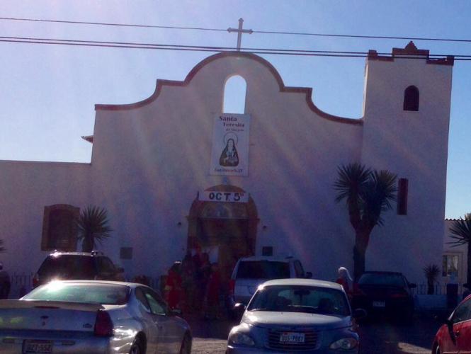
Here is a real picture I took of the mission church in Fort Hancock this morning.


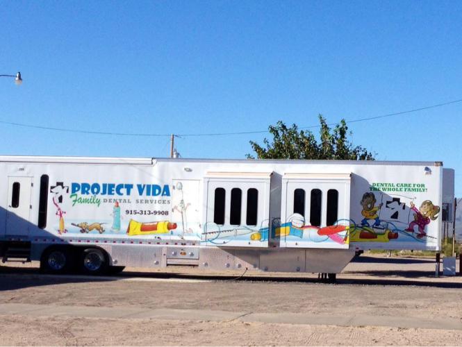
A mobile dental children’s office in Fort Hancock. I would have gone inside if it was open. No Saturday hours for this dentist either.

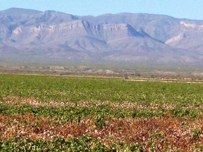
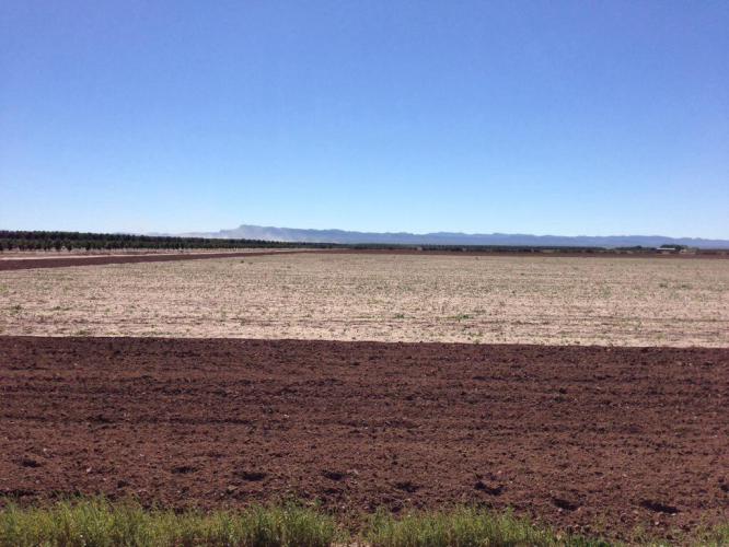
Here is a cotton field.

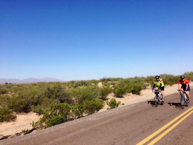
One of nice farm roads before we had to use I-10.

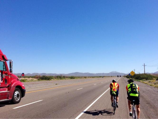
The I-10 shoulder. It was load when the trucks went by. The speed limit here is 80 mph.

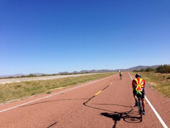
The frontage road was great.

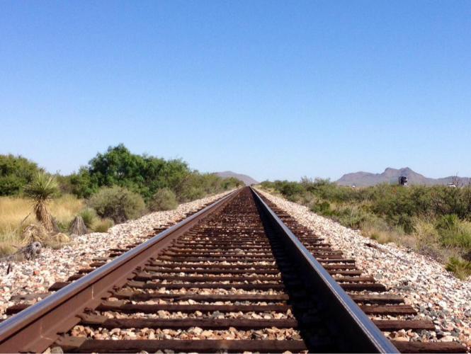
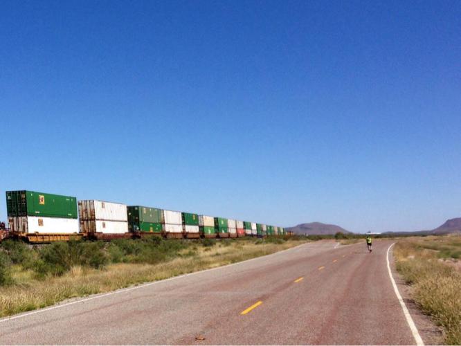
The railroad tracks are next to the frontage road.

The trains are long and they travel fast.

52 miles (84 km) – Total so far: 52 miles (84 km)

Yesterday was a long day—I worked a half day in the office starting at 7 a.m., and it wasn’t an easy schedule. Between fillings, 3 extractions, a crown and a few emergencies, I wondered, ” How am I ever gonna get out of here on time to make my flight?” Somehow, I did, and of course both of my flights were delayed anyway. We got into our hotel late, and I slept poorly, but I was awake by 6 a.m. and had my bike assembled quickly. I met Tim for breakfast at 8, but Brian never came down… Tim and both knew that meant trouble. We knocked on his door to see if we could help him get his bike together. He opened his door with shorts on, but no shirt. His chest and belly were smudged generously with grease stains and his fingers were black. He made a grave proclamation about committing bike murder. The three of us figured out the problems, brought the bike back to life, and Brian cleaned himself up. After a stop at the bike shop for spare tires and a trip to Walmart for Gatorade, beer, and snacks, we hit the road by 11:30. The ride through the rest of El Paso was not bad at all. We were able to get on the North Loop Rd. East easily from our hotel near the airport, and even though it has four lanes, it felt very safe: there were bike lanes and nice shoulders most of the way and the road surface was smooth. The drivers are extremely courteous in this part of the country. At the first traffic stop I picked up 2 pennies. Whenever I see loose change on the street, I think it’s going to be a good day. I did get the first flat tire of the whole trip, but with teamwork, the three of us were back riding in 20 minutes. The route out of El Paso follows The Don Juan Ornate Mission Trail. We passed through several small towns including Socorro, San Elizario, Fabens, Clint, and Acalo. A nice tailwind helped shove us along, and we made it to Fort Hancock by 3 p.m. The tall, metal border fence was visible for some of ride, as we were only about 1 mile away from Mexico for most of the day. Pecan Orchards, rows of cotton, fields of corn and alfalfa were prevalent. It was a very flat ride, too. Some of these pictures are from Google images because Brian was setting such a fast pace with the nice tailwind that we only took one break the entire ride. I’m still waiting to see my first armadillo and javelina.

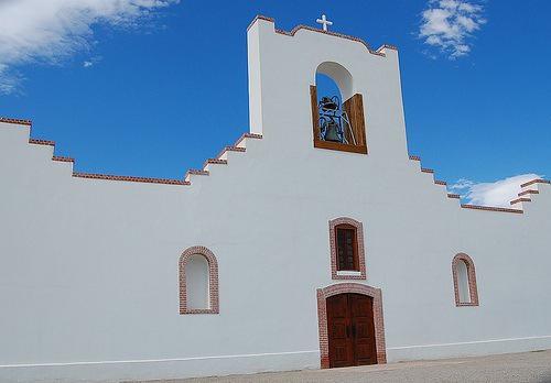
The mission church in Socorro, TX

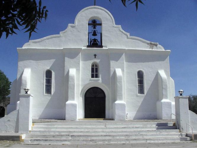
Mission Church in San Elizario, TX

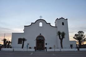
This is the one in Fort Hancock, TX

The mountains are across the border in Mexico

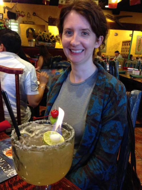
A flaming margarita at dinner

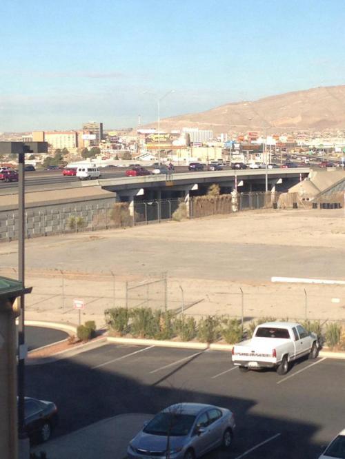
I-10 in El Paso as seen from the hotel window. Did you know that El Paso is the safest city in the United States! Yes, it’s true.