Archives

All posts for the month June, 2022

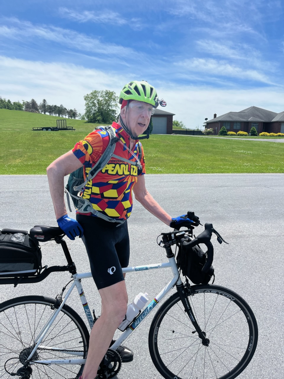
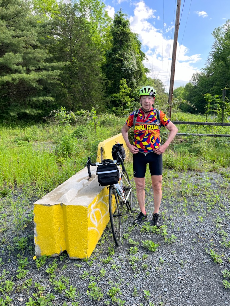
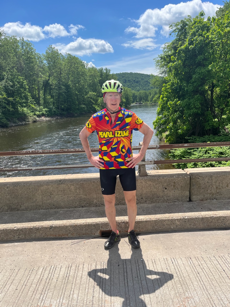
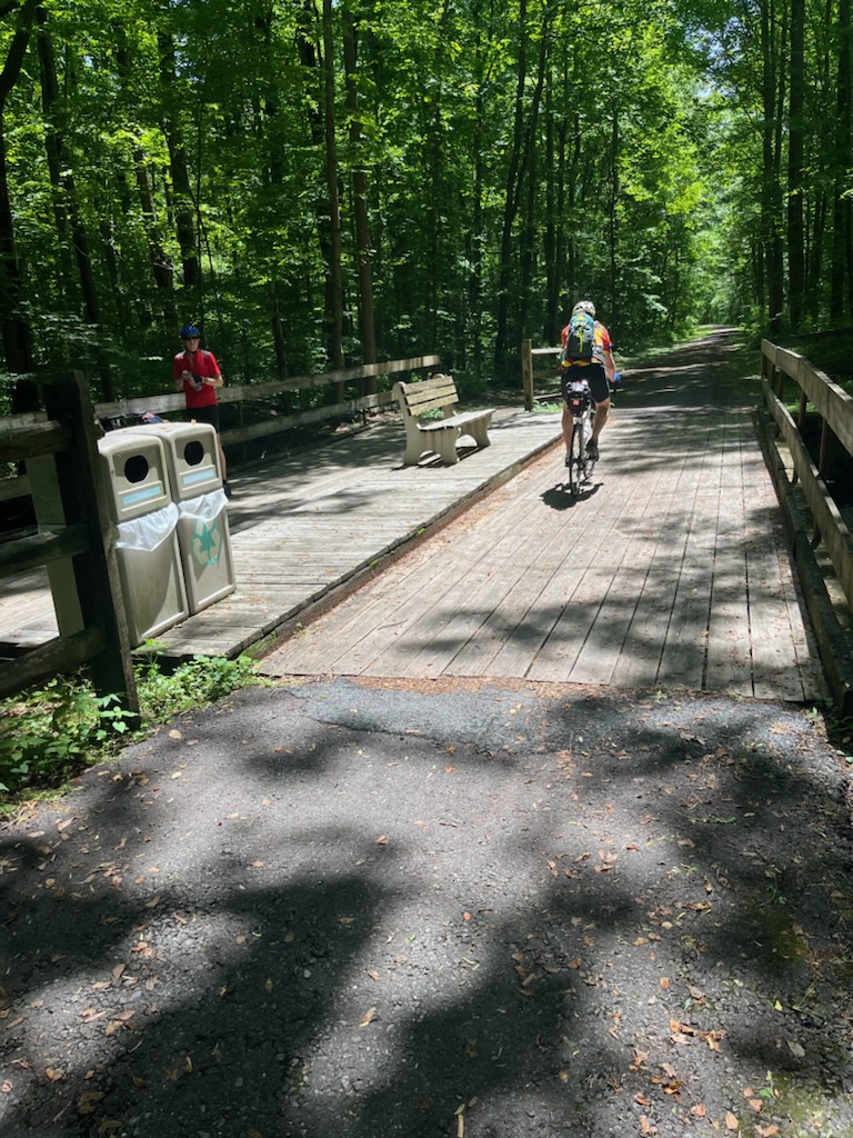
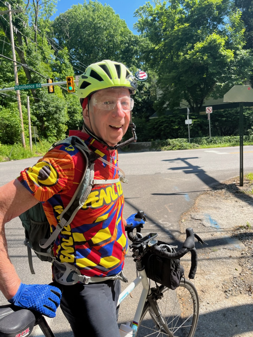
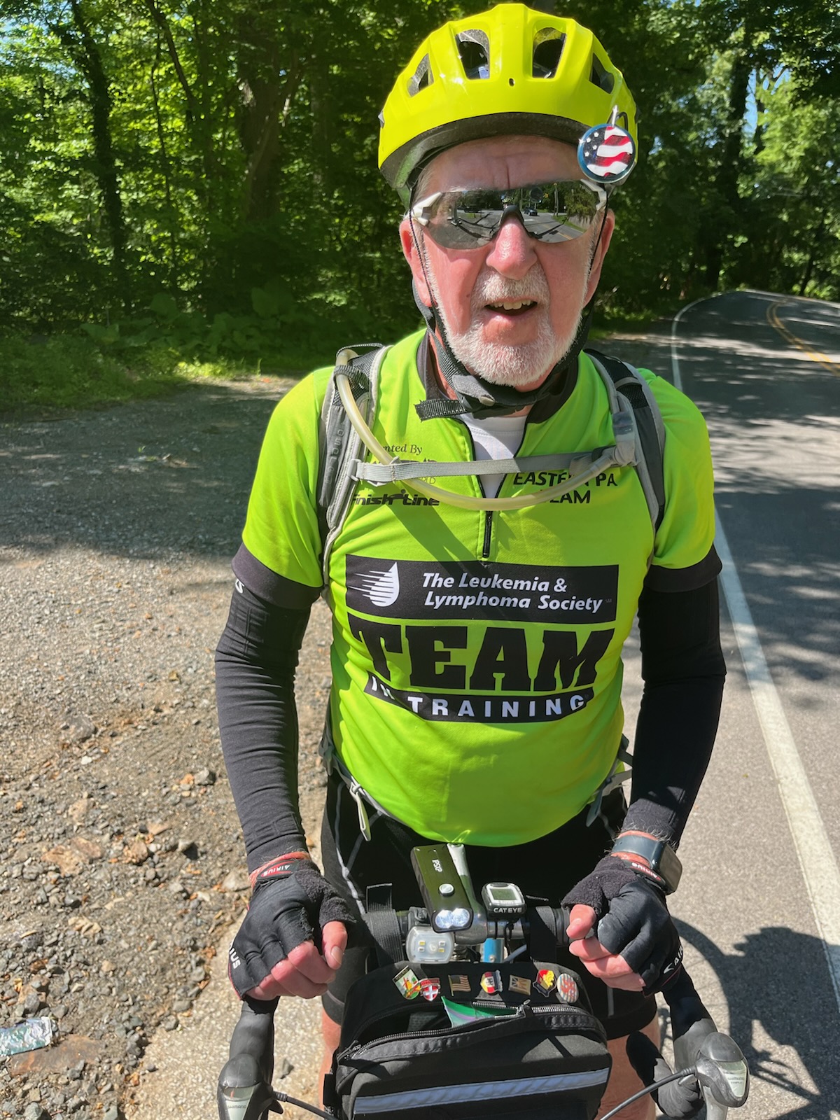
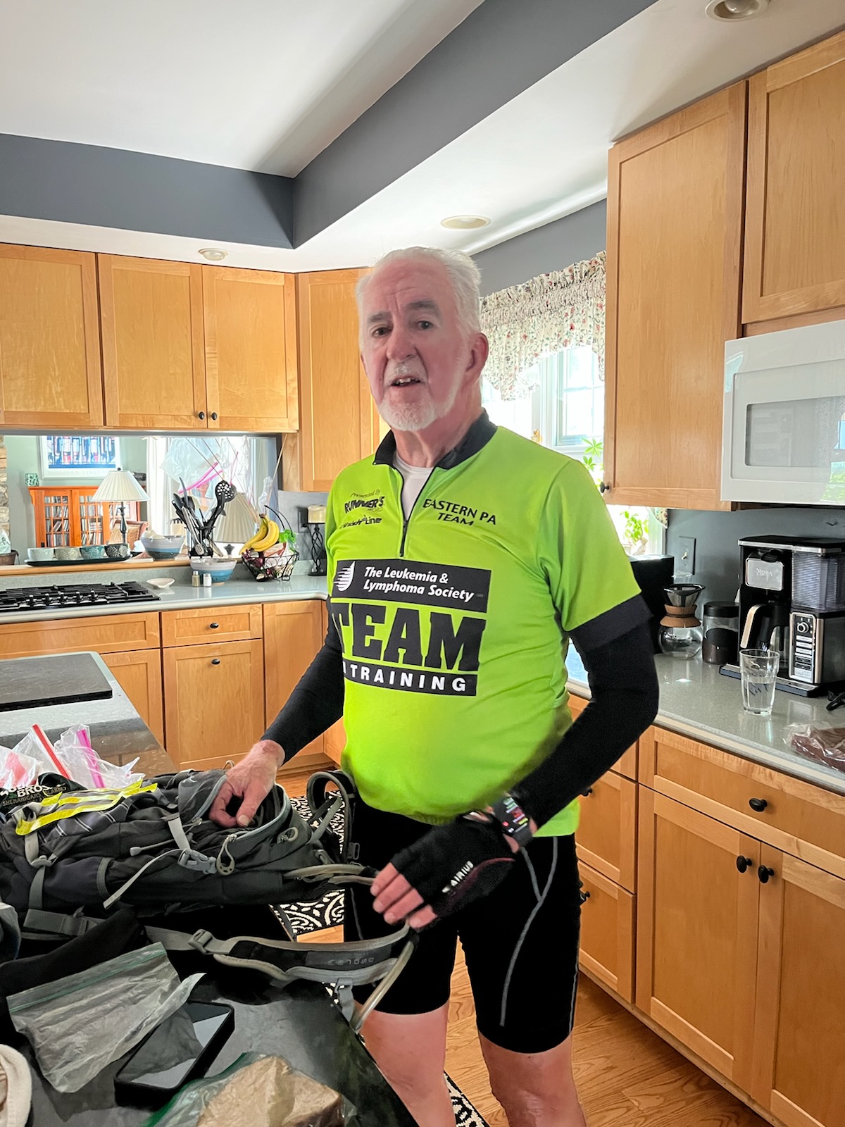
Today was our longest day, which ended up at about 76 miles for me and close to 80 miles for Tim. We rode on nice PA back roads and on the Saucon Rail Trail as well as the Perkiomen Trail, the Skippack Trail, and the Schuylkill River Trail. I am honestly impressed by how bike friendly Pennsylvania is and much more so than I realized! People were generally very courteous as they drove by us on our bikes.

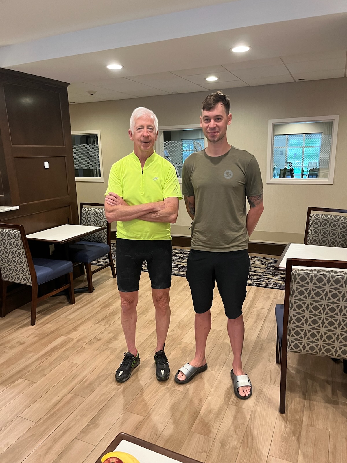
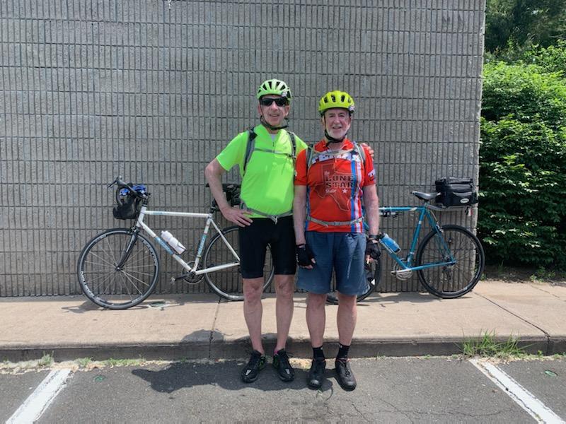
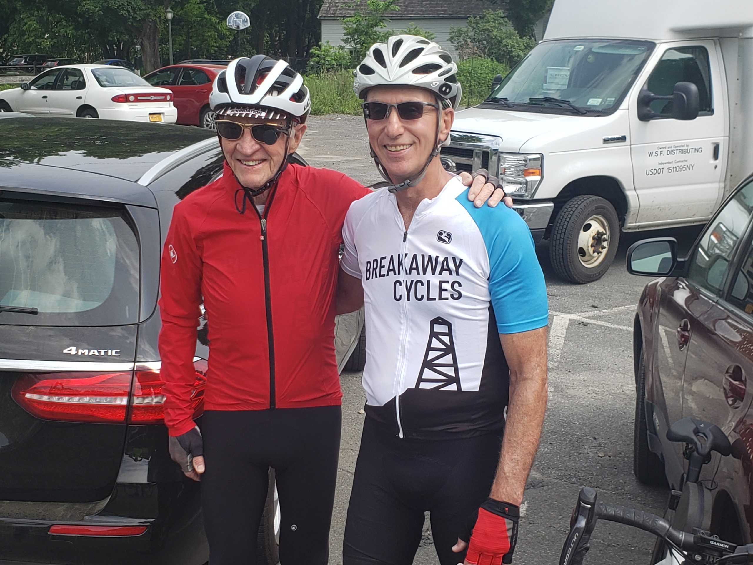
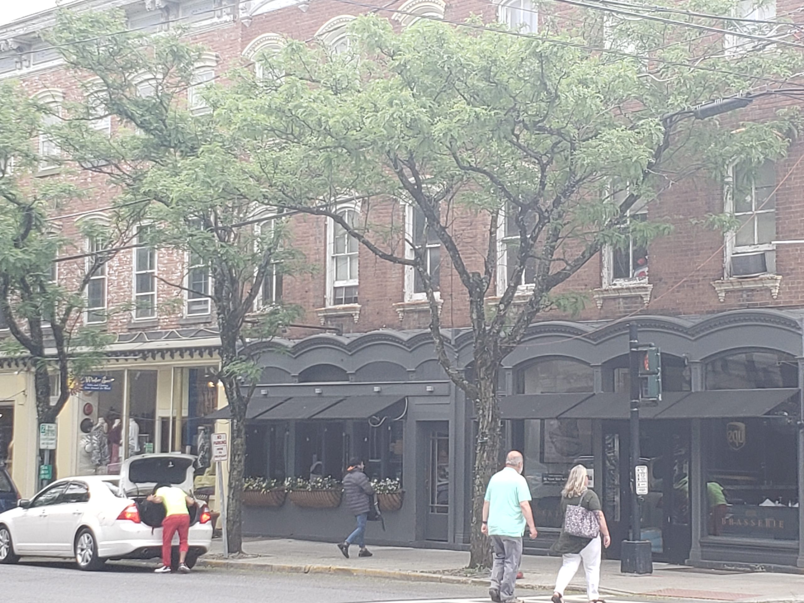
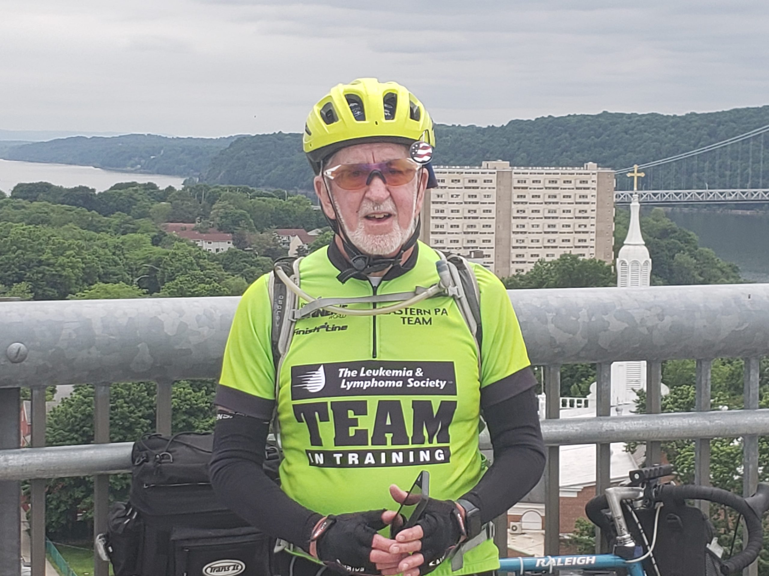
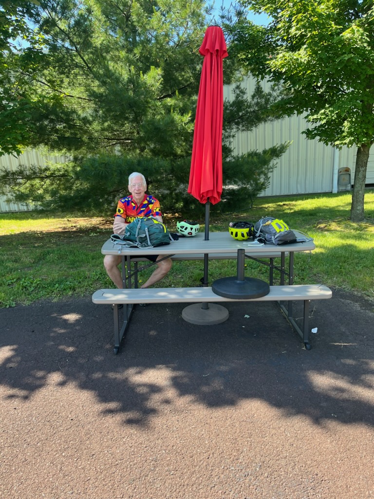
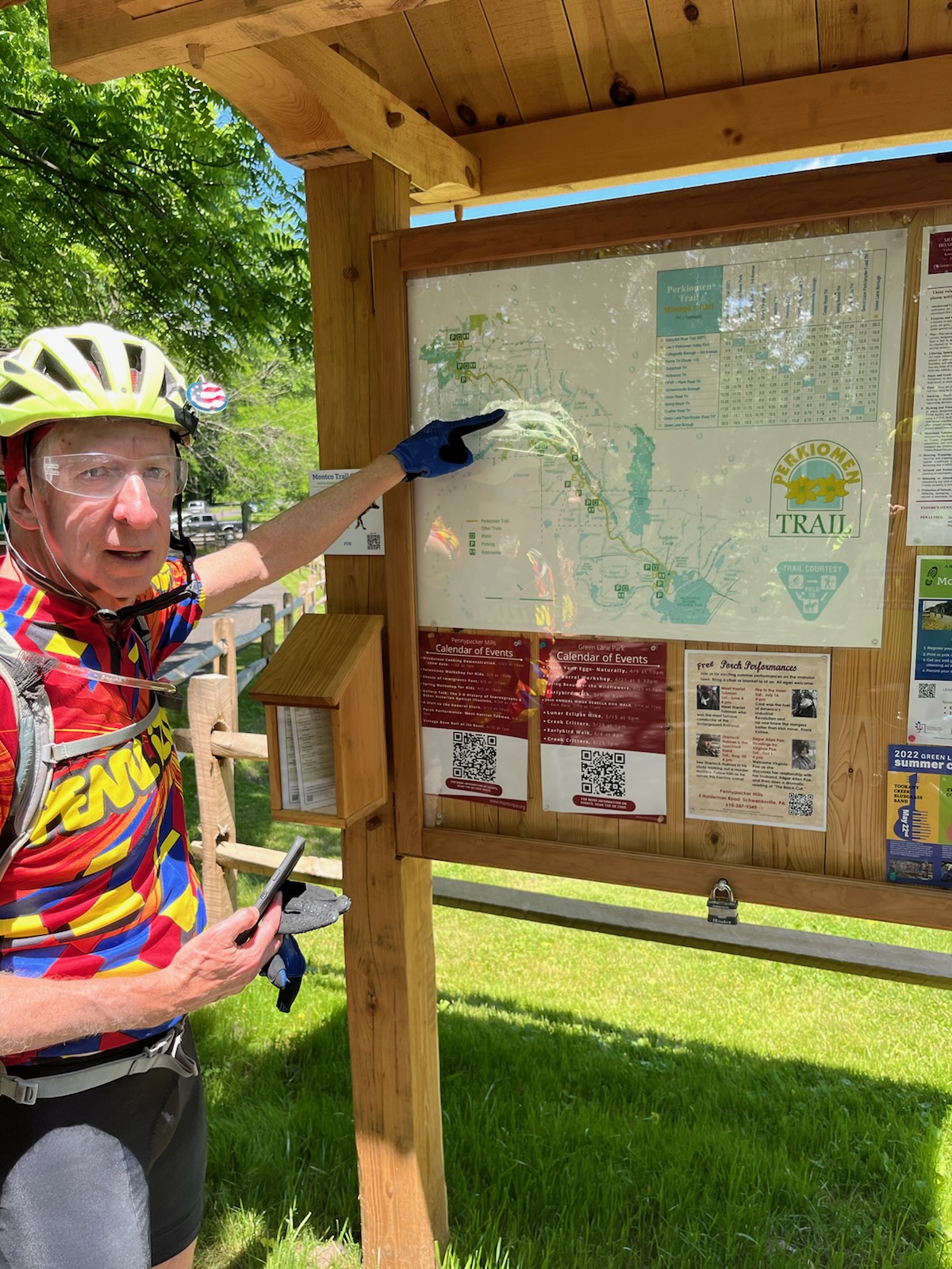
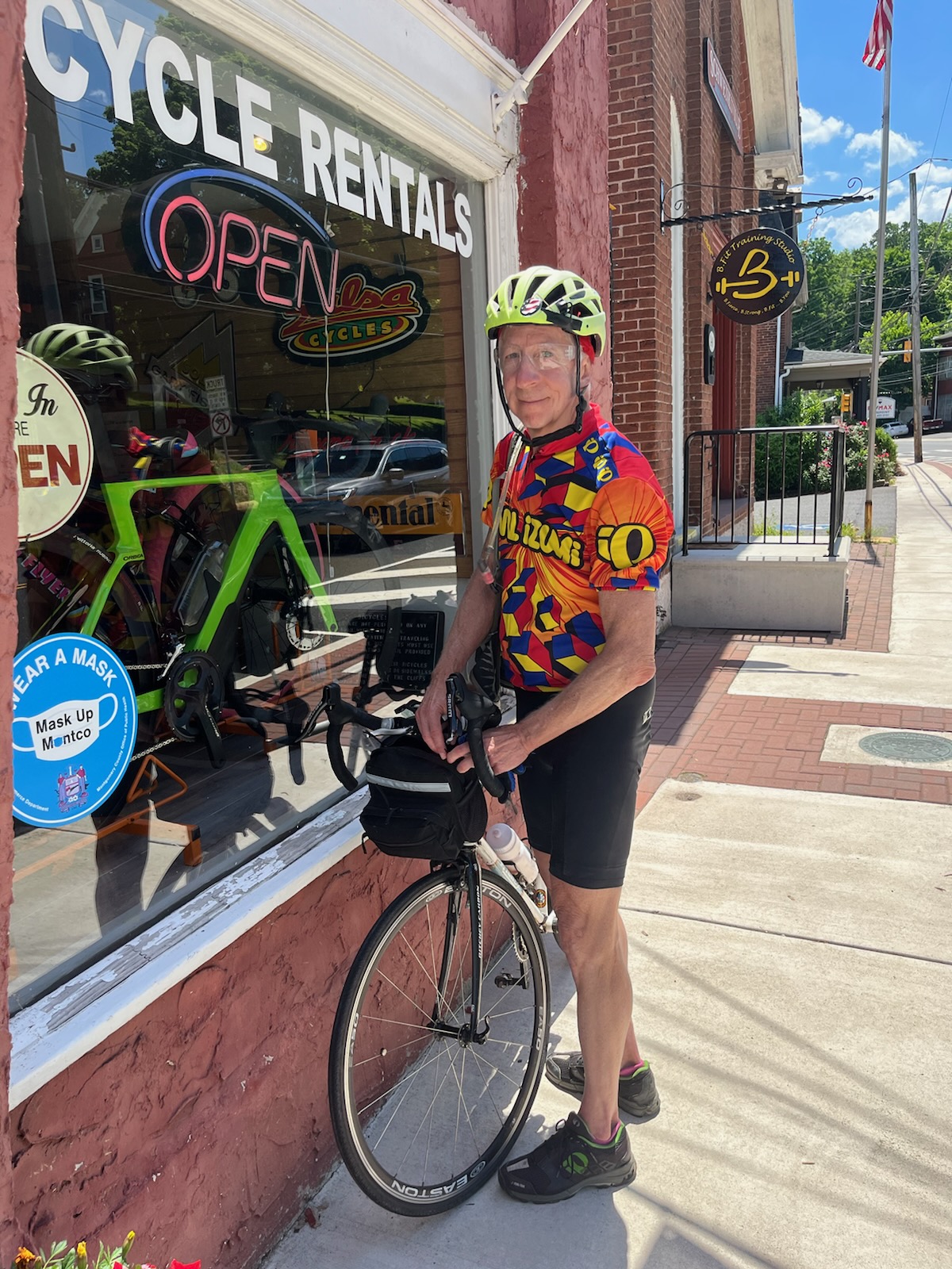
Here are today’s photos, again courtesy of Tim.

Brian on the Saucon Trail near Bethlehem, PA.
Tim on the Saucon Trail also near Bethlehem.
We met Louise, Scott, and their dog Lea, not too far from the end of the Saucon Trail.
Brian at lunch just outside of Quakertown, PA.

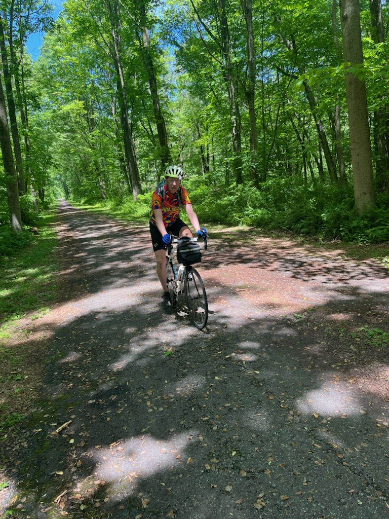
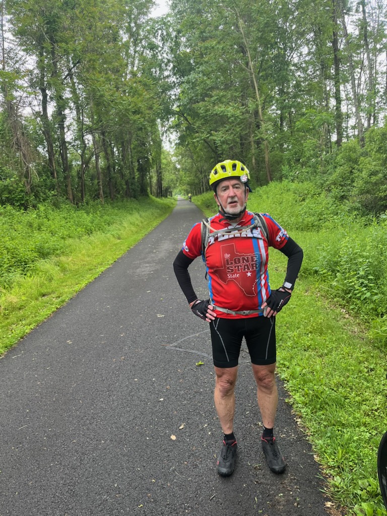
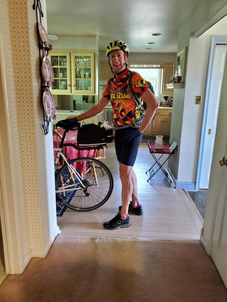
After passing through Quakertown, we made it onto the Perkiomen Trail about 6 miles from one of its end points. Here I am pointing to where we started riding on the Perkiomen Trail.

The Perkiomen Trail is 20 miles long and we rode on 14 miles of it today.
Tim took this photo of me at the front of Perkiomen Bikes, on the Perkiomen Trail in Schwenksville, PA.
Not to far from the end of the Perkiomen Trail, we saw folks in Kayaks boating on the Perkiomen Creek. It looked like a lot of fun!

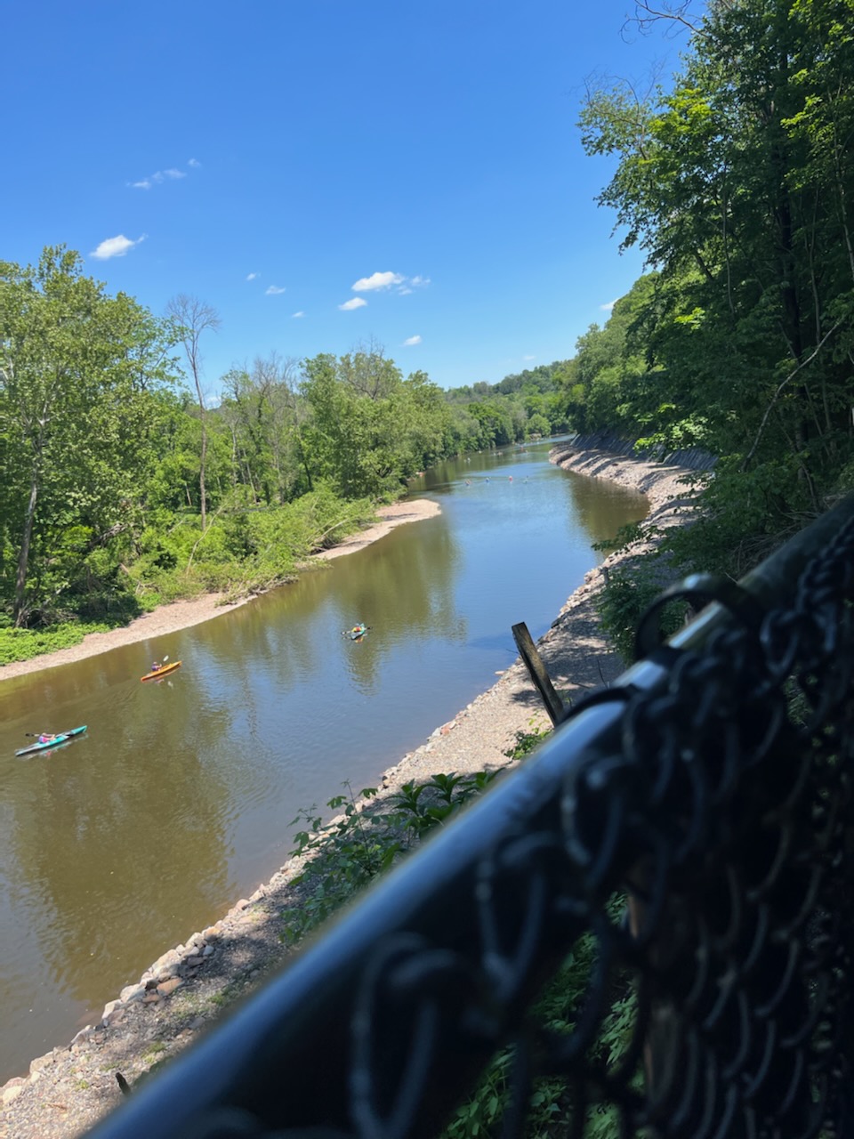
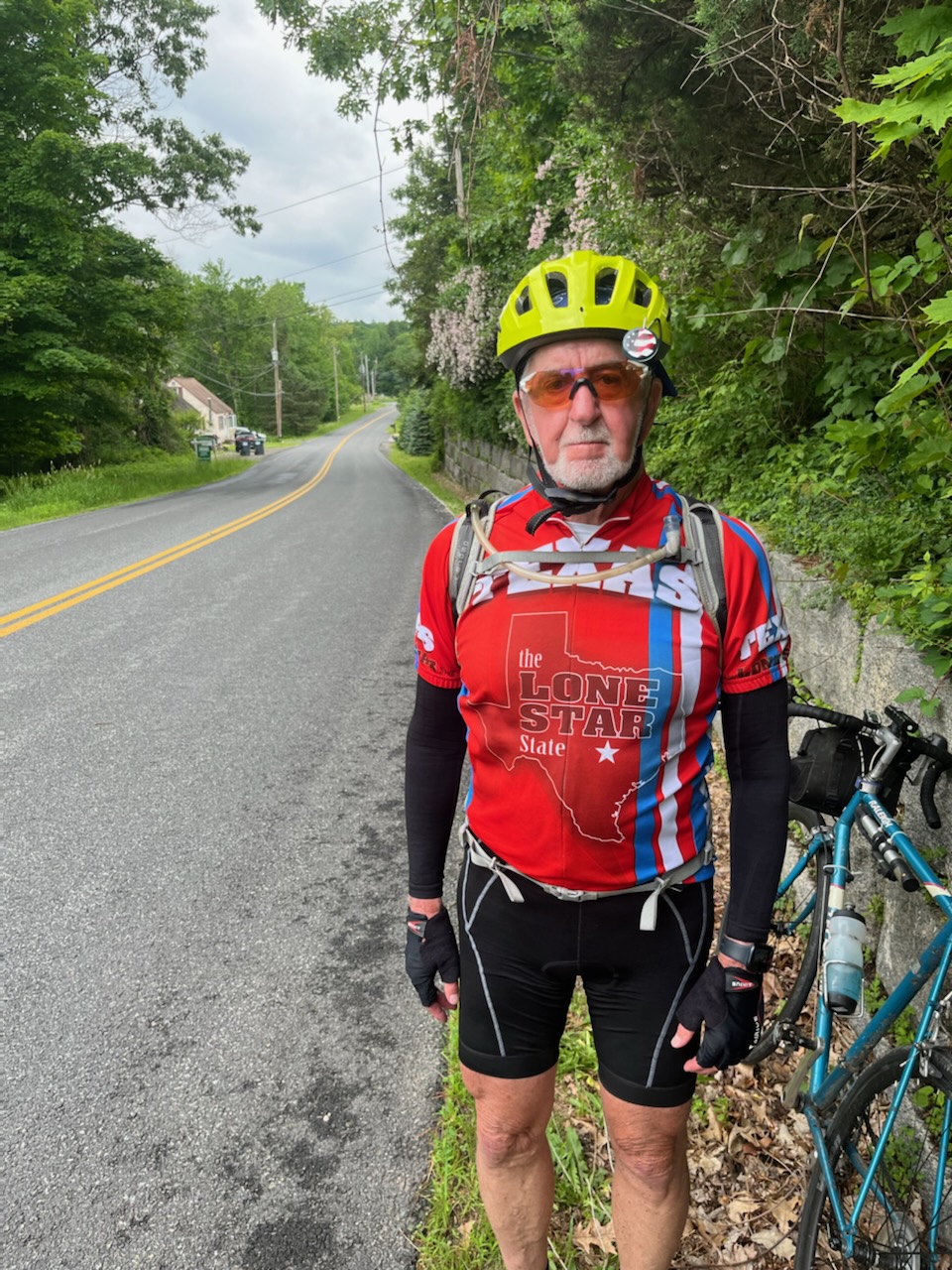
After biking to the end of the Perkiomen Trail and then doing 2 miles on the Schuylkill River Trail, followed by another 2 miles on the bike path through Valley Forge National Historic Park, we headed out of Wayne, PA by riding up Valley Forge Road and Devon State Road. Google maps wanted us to ride south up PA 252, but we thought that would be too dangerous. We eventually got onto 252 at Episcopal Academy and then went onto Bishop Hollow Road in Newtown Square.

Tim and I parted at the intersection of Bishop Hollow and Providence Road and Tim took this photo of me.
Here is Tim at the same intersection.
Nancy took this photo of me in our kitchen right after I came home.
Marcia took this picture of Tim, right after he made it home.
Nancy and I watched Mass on TV as soon as I came in the door.

We’ll be working out the rest of the Atlantic Coast Route and how to complete it in the coming months.

Today’s ride was 67 miles, mostly on PA state routes, including 209 and 512 and I think 211 also, all of which were mostly fine. As we got close to Easton we also rode on the Plainfield Township and Palmer Township bike trails, both of which were nice, and we took some good pictures while biking on the Plainfield Township trail, which I have included below. The only other notable comment is that we climbed almost 2400 feet, which I wasn’t expecting. Google maps told us there would be a steep hill, but it wasn’t until we had left Bangor and were making our way to the Plainfield Township trail that we turned onto Mill Road, and that was the one steep hill. We stayed on our bikes and made it all the way up, tacking to the top since there were no cars coming either way. Here are today’s photos, all courtesy of Tim.

I’m pretty sure this was after getting to the top of the Mill Road hill. Out of breath!
At our first rest stop, about 12 miles out of Matamoros. Aren’t you glad I changed my shirt?
Tim at our first rest stop on 211 South. Not too much later, the road was milled, making the surface really rough!
This was at lunch, not too far from Delaware River Gap. The stream is a tributary of the Delaware River.
This was also at our lunch stop, a very pretty place to stop.
Riding on the Plainfield Township trail.
Tim at our last rest stop of the day, on the Plainfield Township trail.
Brian on the same final rest stop on the Plainfield Township trail.
Brian biking down the Plainfield Township trail.

Tomorrow our plan is to make it all the way home from our Hampton Inn in Easton, a distance of more than 70 miles. Hopefully we will make it and escape the rain again!

I would be very remiss if I didn’t thank Beth, who really helped me a lot with these posts, all done on my phone and challenging because of that. So thanks Beth 😊!

Today’s ride was pretty good! We still climbed about 2000 feet, but none of the hills were so steep that I would need to get off my bike and walk it up the hill. So I count that as a big victory since today was the first day I didn’t have to do that at all. In fact, it was a pretty uneventful ride which was about 53 miles and took us about 5.5 hours of riding, very close to what Google maps predicted. We did not use the Adventure Cycling Association maps at all today. I used my phone to navigate and Tim took all of today’s photos. Speaking of which, here they are.

This is Brian with Nate, who we met at breakfast in the morning. Nate works for Specialized and told us all about the electric assist bikes that the 76 and 80 year old guys had yesterday.
This is Tim on the Wallkill trail we took this morning. About the first 8 miles were crushed stone and not maintained at all. But the last 3 miles were paved asphalt and were really nice!
Here is Tim at one of our few rest stops today. This was not too far from Port Jarvis, NY.
This was just before we crossed the Delaware River while in Port Jarvis, NY.
This is Brian just over the Delaware River in Matamoros, PA. We were about 2 miles from our next hotel at this point.
This is coming into Matamoros, PA after crossing over the Delaware River.
This picture was actually from yesterday taken by Fred Schaeffer on the Walkway over the Hudson. Fred put it up on Facebook, Nancy friended Fred and then texted me the photo.
This was our first photo of the trip, which Steph took and texted us. So this is actually from 2 days ago!

Tomorrow we head to Easton, PA, about 67 miles from Matamoros. We didn’t get rained on today and probably won’t tomorrow either. Hope not, anyway.

Even though we still climbed almost 3000 feet and today traveled 63 miles, it was a much easier ride, even though it took us almost 7 hours to finish. We met some really interesting people and had some nice conversations, as well as visited Rhinebeck, NY, whose architecture reminded me of downtown Media. We were on NY Route 9 for a good stretch, riding past the FDR museum and library, the Vanderbilt mansion, and the Culinary Institute, all of which are really neat places. It all made me want to come back up here soon with Nancy, even though we have been here before (more than once). Here are some of the day’s photos.

We finished the day with 8+ miles of riding from the Walkway onto the Empire State Trail, which took us right to our hotel, a Hampton Inn. Our rooms are nice but our dinners did not compare to last night’s, but that was OK. Tomorrow we ride to another Hampton Inn in Matamoros, PA. We might get rained on, but hopefully not.

Tim and I got a great ride up to Windsor Locks from Stephanie, Matt’s wife and Tim’s daughter-in-law, who picked us up at our houses in Media, shortly after 7am. Here is a photo of Steph and Tim as we’re driving over the GW bridge.

We made it up to Windsor Locks by about 12:30 p.m. and started riding by about 1 p.m. It was a pretty tough ride, with about 3000 feet of climbing and the hills were super challenging. I ended up walking my bike up portions of 5 long hills. Not having a granny gear, being fully loaded, and the really hot (91 degrees) weather were contributors to my walks, but I also just wasn’t ready mentally for the hard climbs. But we did finish the 50 miles after about 6.5 hours of riding (and walking).

Here are some of the day’s photos.

At our first and only rest stop.

A beautiful dam that we crossed on our first day.

Tim standing by the beautiful dam.

My bedroom at the White Hart, Salisbury, CT.
Tim’s bedroom at the White Hart, Salisbury, CT.

We didn’t get to the hotel in time to eat dinner there, but walked to the Neo Restaurant, about 1 minute away and had a great meal. We got back to our rooms by 9:30 p.m., called our wives and were asleep by 10 p.m.