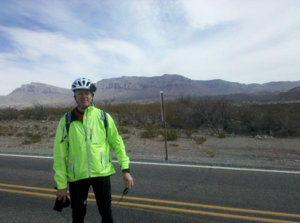
Brian

Yesterday was a travel day for all of us.  Tim, Mark and I flew from Philadelphia to San Antonio, TX and Beth flew in from Newark. NJ.  Once we had all arrived, we drove about 150 miles from the San Antonio airport to Brackettville, TX, sopping to eat dinner at an Applebey’s Restaurant, for an unremarkable and forgettable meal.  Once in Brackettville we assembled our bikes and went to bed.  As usual, my bike assembly was challenging, but with help from Tim and Mark, I eventually got it together.

Not too far out of Brackettville, while riding along US 90, a herd of buffaloes came out of the brush and trotted along just in front and to the right of us.  We were all very surprised to see them, but I managed to get this video of them racing along just ahead.  Hope you enjoy it! This experience, together with a little light rain during our ride today, were “firsts” for us on our cross country bike trip.

Like last year, riding along US 90 is Texas is tough on your butt! It’s a US highway paved with Texas chip seal, fairly large stones joined together with just a bit of asphalt and sealed with tar. There is not much to look at but it’s still definitely memorable – straight with some rolling hills and lots of ranches facing the highway on both sides.  Here is a photo of one of several dozens of ranches we passed today.

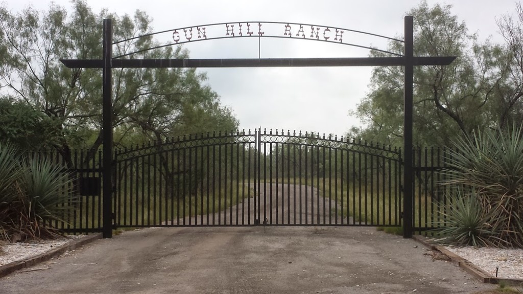
Gun Hill Ranch along US90 near Brackettville, TX

Gun Hill Ranch along US90 near Brackettville, TX

We biked against a 10-14 mph headwind for most of the ride so we were only able to average about 10 mph, including our rest stops.  Our ride today was 42 miles so by leaving at 8 a.m. we were able to make it to our hotel in Uvalde, TX just around noon.  Here are .a few pictures I took during the ride today.
Mark at a rest stop along US 90.
Mark at a rest stop along US 90.

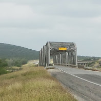
Bridge along US 90.  It was a tight fit crossing this bridge, but all the truckers gave us a wide berth.

Bridge along US 90. It was a tight fit crossing this bridge, but all the truckers gave us a wide berth.
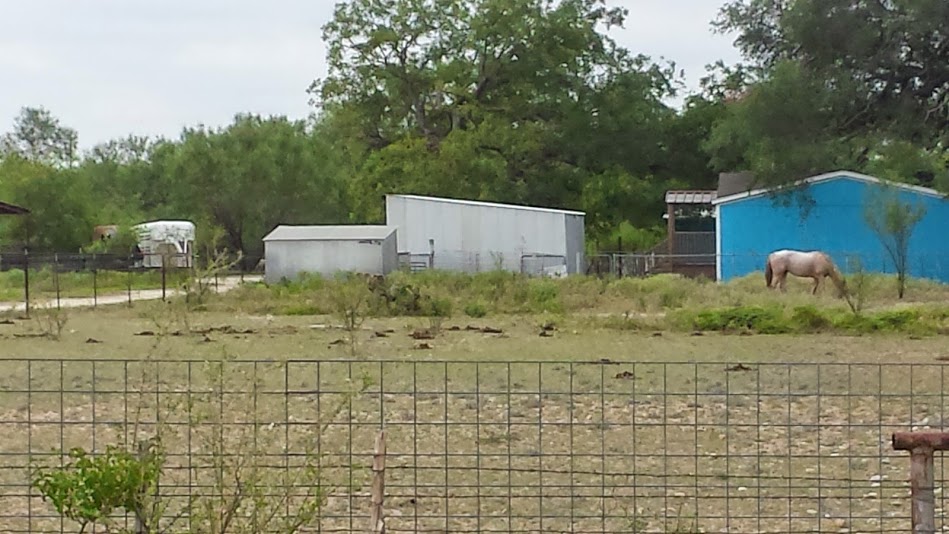
A not so good photo of a horse in a field along US 90.

A not so good photo of a horse in a field along US 90. This is fairly typical of the scenery we saw today.

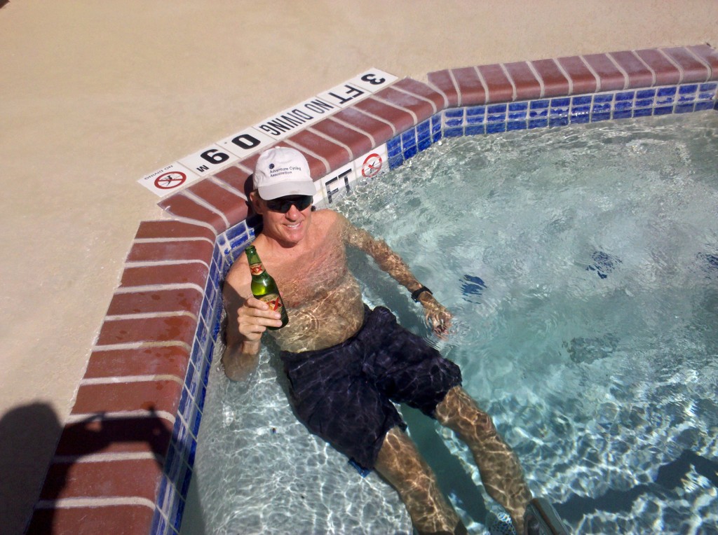
After checking into the Holiday Inn Express, we went for a swim in the hotel pool and Beth brought us some beers to drink while relaxing in the nice cool water.  Then we went to lunch at a Wattaburger, which was quite tasty!

Next we visited the John Nance Garner museum in Uvalde, which was really nice and very informative. For those history buffs out there, John Nance Garner was FDR’s Vice President for his first two two terms, from 1933 to 1941.  FDR and Garner had a falling out in 1940, when FDR vacillated over whether to run for a 3rd term.  When FDR was non-committal about seeking a third term, Garner began campaigning for president, despite the fact that he was 72 years old at this point.  When FDR finally did decide to run, Garner decided to return to Texas and “never cross the Potomac River again,” a promise he lived up to.  He passed away in November 1967, a few days shy of his 99th birthday.  Here are some of the photos I took at the Garner museum in Uvalde, which is located in the home Garner and his wife had built in the early 1920’s, while he was a Texas Congressman.  He eventually rose to the position of Speaker of the House, so that when FDR made him his VP, Garner referred to this office as “the only demotion I ever had.”
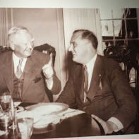
Photograph of Garner making a point to FDR.
Photograph of Garner making a point to FDR.

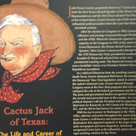
Garner came by the name "Cactus Jack" for advocating for the cactus as the state flower of Texas - it was not selected :(

Garner came by the name “Cactus Jack” for advocating for the cactus as the state flower of Texas – it was not selected 🙁
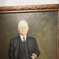
Portrait of John Nance Garner hanging in his museum.

Portrait of John Nance Garner hanging in his museum.

Tomorrow we have a 70 mile ride to Bandera, TX.  We are hoping for a tailwind, but tomorrow’s weather forecast doesn’t look too promising.
There are many things I want to remember on L3, so I thought I’d write them down and share them.

Biggest Local News Stories During L3

The U.S. Government shutdown and its local effect on Big Bear National Park and the Fort Davis National Historic Site.  Beth especially has discussed this already, so I don’t need to discuss this any further.

The University of Texas vs The University of Oklahoma football rivalry and the big game that would be happening as we flew home on Saturday.  This was a welcome reprieve from the constant news reports about the children masquerading as elected officials in Washington, DC.  Oops! I said I wasn’t going to discuss this any further, didn’t I?

The Denver Broncos versus the Dallas Cowboys football game on Sunday afternoon and evening, October 6.  Actually, we were really only aware of this because the restaurant bar in Marathon had the game on that day, and it was pretty hard to ignore.

Truly Remarkable Things We Experienced During L3

The night sky everywhere outside of El Paso, but we particularly noticed it in Marathon, TX.  You really can’t appreciate how many bright stars and planets there are up there, until you spend some time in a remote place.

The speed limit on the two-lane (one in each direction) on US 90 is West Texas.  It’s a Texas chip seal surface, but in many places along this route the speed limit is 75 mph!

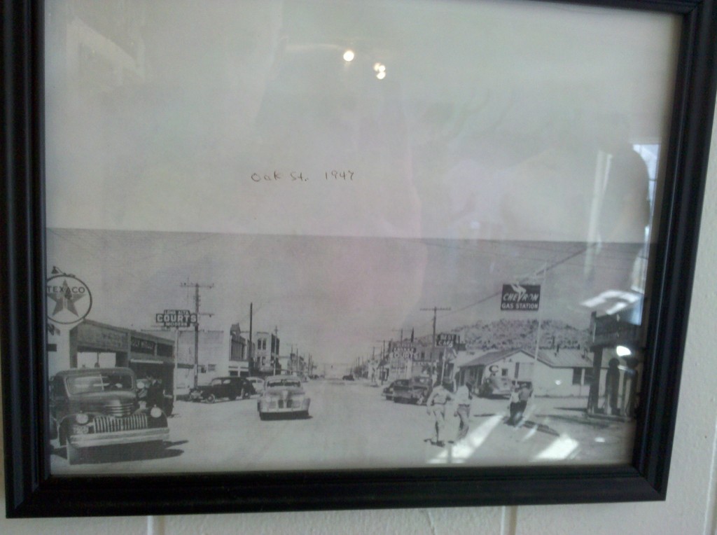
The importance of the railroad to the local economy of towns along the railroad line, which runs parallel to US 90 for much of this road.  Alpine is thriving, in part because the railroad decided to use this town as a crew shift location.  When they moved the crew shift location out of Sanderson, it really hurt.  Sanderson’s population is less than 900 people, about 5,000 less than Alpine.  Here is a 1947 photo of Oak Avenue, the main thoroughfare in Sanderson.

1947 Photo of Oak Street, Sanderson, TX.  Today it is a shadow of what it once was back in the 1940's.  Nevertheless, Sanderson still has an elementary and a high school, not to mention a beautiful and apparently relatively new town library!

1947 Photo of Oak Street, Sanderson, TX. Today it is a shadow of what it once was back in the 1940’s. Nevertheless, Sanderson still has an elementary and a high school, not to mention a beautiful and apparently relatively new town library!

I’ve mentioned the prevalence of town libraries in the caption above, but I found this aspect of life in West Texas to be very remarkable.  Libraries are really important there, which I think is great!

The awesomely beautiful desert.  Here is a video I took on Day 5 on our way to 10 miles east of Dryden.  The scenic mountains in the middle of the desert are like nothing you can find on the east coast.

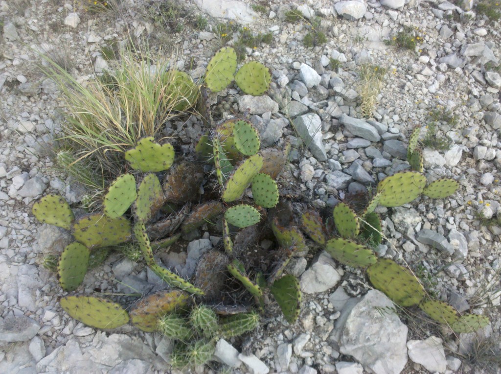
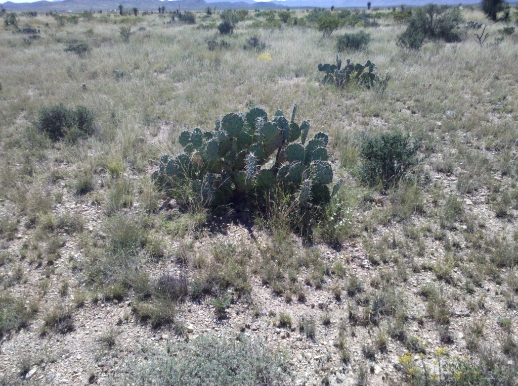
Can you stand yet one more picture of prickly pear cacti – I don’t think I’ve shared this particular one yet – I’ve been saving it! 🙂

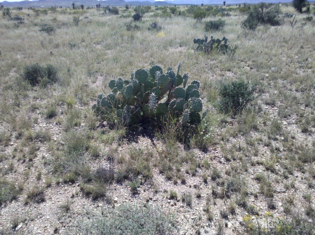
Prickly pear cacti along US 90 between Alpine and Marathon, TX.  I don't think we're going to see these plants too much or even at all on our future legs across the U.S.

Prickly pear cacti along US 90 between Alpine and Marathon, TX. I don’t think we’re going to see these plants too much or even at all on our future legs across the U.S.

The sudden appearance of humidity on the last two days of riding on L3.  We were soaked with sweat on our return to the Hampton Inn in Del Rio, and that was the first time we’ve experienced that on any of our previous rides.  We were east of the Pecos River and, for the most part, out of the desert, which might explain it.

Some of the Great Things We Experienced on L3

The courtesy of Texas drivers.  They were incredibly patient and even in El Paso, I rarely felt in danger of being hit by a car or a truck.

The friendliness of the people.  Some that come to mind are the lady at the Langtry Visitor Center, the many waitresses that served us in Van Horn, Fort Davis, and Marathon, and especially the U.S. Border Patrol Agents.  Once again our conversations with all of them were relaxed and friendly.  I just wish we could have talked to more locals and for longer lengths of time.

Texas Barbeque – it’s the best!  Thank you Rudy’s!

My daughter Beth! For her insightful and entertaining blogs, her reliability, and her warm companionship to all of us!  Thanks Beth!

I’m really looking forward to Leg 4 next March!

Tim re-joined us on Friday October 11, our final day of riding on L3.  After Beth arranged for us to have a noon check-out time, we left the hotel with our bikes in Silver’s bay and drove to Bracketville, TX so that by biking west to Del Rio, we’d have the winds at our backs again.  We left the hotel around 7:15am when it was still dark, and somehow missed the turn that would have kept us on US 90 and on the right path towards Bracketville.  But we were glad we did get lost for a few minutes, because we came within about 20 feet of the International Fence, the closest we had ever been to the border and the fence.  Beth and Mark took pictures of it, so you can see it on their blogs.

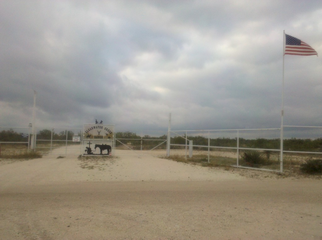
Shortly after 8:00am, Beth dropped us off and we started our way on US 90 West towards Del Rio.  The ride was, fortunately, once again uneventful.  We again passed several ranches bordering the highway and I managed to take a picture of one of the more elaborate ranch signs, this one of the Clearwater Creek Ranch.

Clearwater Creek Ranch sign, Bracketville, TX.  We passed dozens and dozens of ranches along US 90 between Van Horn and Del Rio, all of which had signs identifying them.  This was one of the more elaborate ones.  By the way, this ranch and its 2,000 acres are for sale, in case you're interested.

Clearwater Creek Ranch sign, Bracketville, TX. We passed dozens and dozens of ranches along US 90 between Van Horn and Del Rio, all of which had signs identifying them. This was one of the more elaborate ones. By the way, this ranch and its 2,000 + acres are for sale, in case you’re interested.

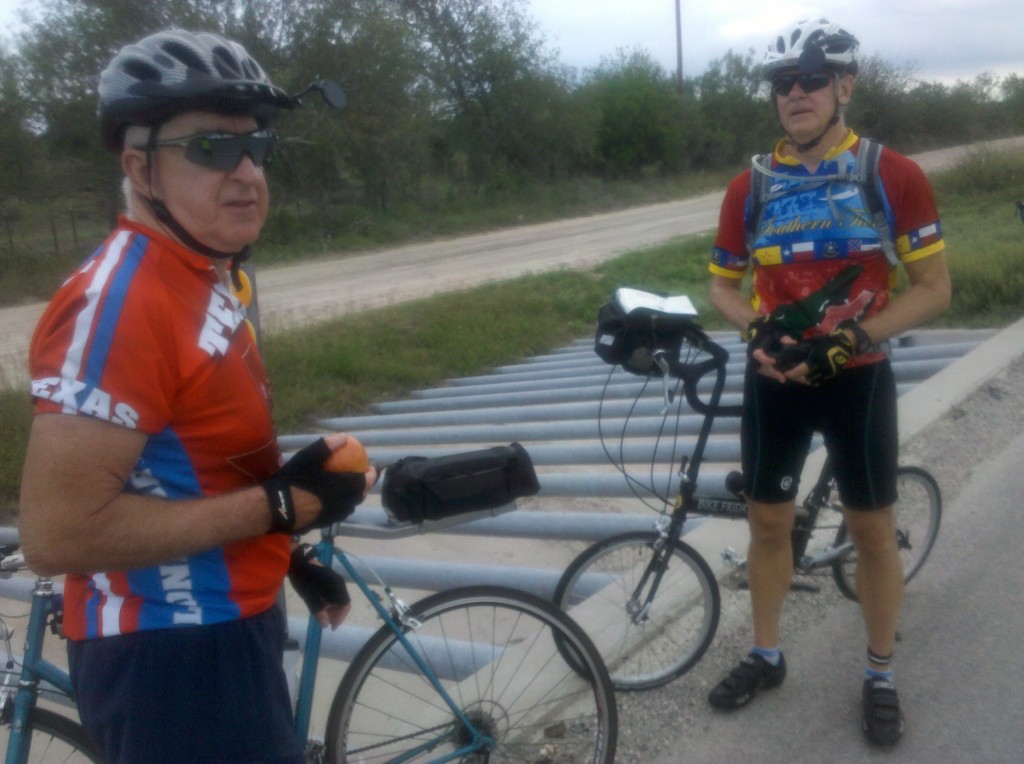
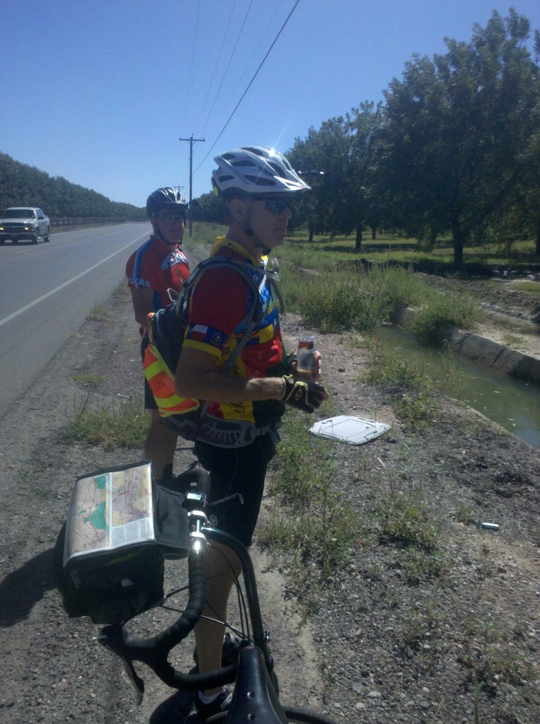
And here’s a picture of Mark and Tim on our very last rest stop of Leg 3.

Tim and Mark on final rest stop of Leg 3.  We stopped at a rain drainage culvert along US 90.  The steel bars are there to keep any large solid objects from entering the culvert with the water and clogging it up.

Tim and Mark on final rest stop of Leg 3. We stopped at a rain drainage culvert along US 90. The multiple parallel steel bars act as a grate to keep any large solid objects from entering the culvert with the water and clogging it up.

I also took a few final videos of Leg 3 while riding along US 90.  As you can see in the first one, the weather this day was overcast and the dark clouds actually did drop a few raindrops, but we were not caught in a downpour.  We were moving at a pretty fast pace at this point, a train passed by going in the other direction, and you get to see Tim passing me while I was taking the video.   I took the second video as we were passing by Laughlin Air Force Base.  Pilots were practicing take-offs and landings, passing over US 90 at a fairly low elevation, which was a different experience for us.  Hope you enjoy them.

We completed the 31 mile ride in a little more than two hours, arriving back at our hotel by 10:20am, gave each other congratulatory man-hugs, and then went to our rooms to disassemble, pack up our bikes, shower, dress, and check-out by noon, all of which we were able to do.

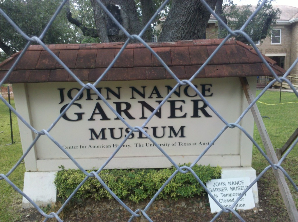
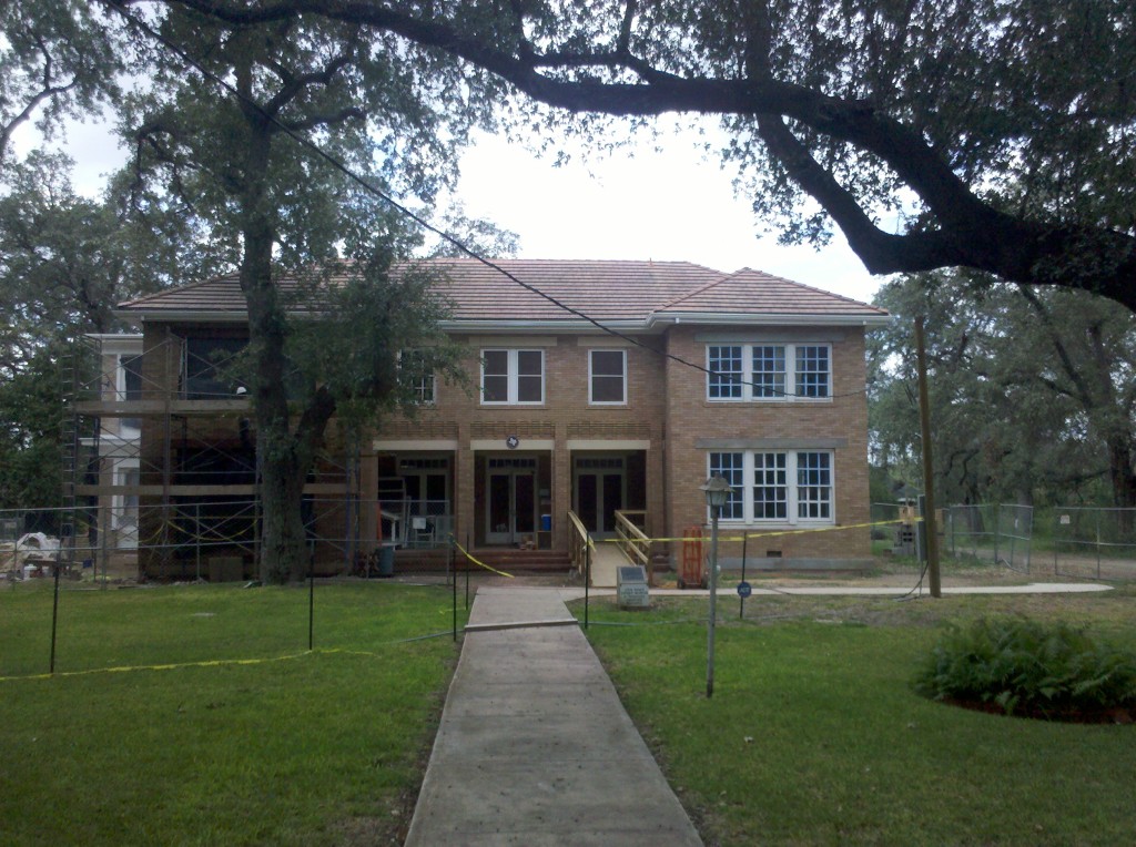
After that, we decided to drive a good part of the route in Map 4 of the Southern Tier.  We continued on US 90 east past Bracketville and drove into Uvalde, TX, where our Dad was stationed for several months during WWII.  We had planned to pay a quick visit to the John Nance Garner Museum in Uvalde (Garner was the Vice President to FDR during his first two terms and was a native of Uvalde), but as you can see from the photos I took there, the museum is closed for renovations.  Neither Beth nor Mark were too disappointed about that.

John Nance Garner Museum sign in Uvalde, TX.  The fence and the small sign at the bottom right let us know it was closed.  Beth and Mark were not overly disappointed.

John Nance Garner Museum sign in Uvalde, TX. The fence and the small sign at the bottom right let us know it was closed. Beth and Mark were not overly disappointed.

Photo of the John Nance Garner Museum in Uvalde, TX.  There were lots of nice homes in Uvalde, which bills itself as Tree City, USA.  Indeed there were many trees planted there and several were growing in the middle of streets.

Photo of the John Nance Garner Museum in Uvalde, TX. There were lots of nice homes in Uvalde, which bills itself as Tree City, USA.  Indeed, there were many trees planted there and several were growing right in the middle of streets.

The drive along the Map4 route was very hilly, since it is part of the Texas Hill Country.  The roads were very narrow and mostly free of any traffic, but there are also lots of twists and turns and with a speed limit of 65 mph, I think cars might be right on top of us before we could have a chance to react.  So I am not at all opposed to Tim mapping out an alternative route to at least some of the Southern Tier Map 4, even though it is not his turn to plan the route.  We’ll see what he comes up with – we have a few moths to decide on the route we’re going to take in early March 2014.

We made it to our hotel near the San Antonio Airport around 5:00pm, had a few beers and snacks, and then Tim drove us to downtown San Antonio for a visit to the Alamo and the River Walk.

Beth in front of the Alamo, San Antonio, TX.

Beth in front of the Alamo, San Antonio, TX.

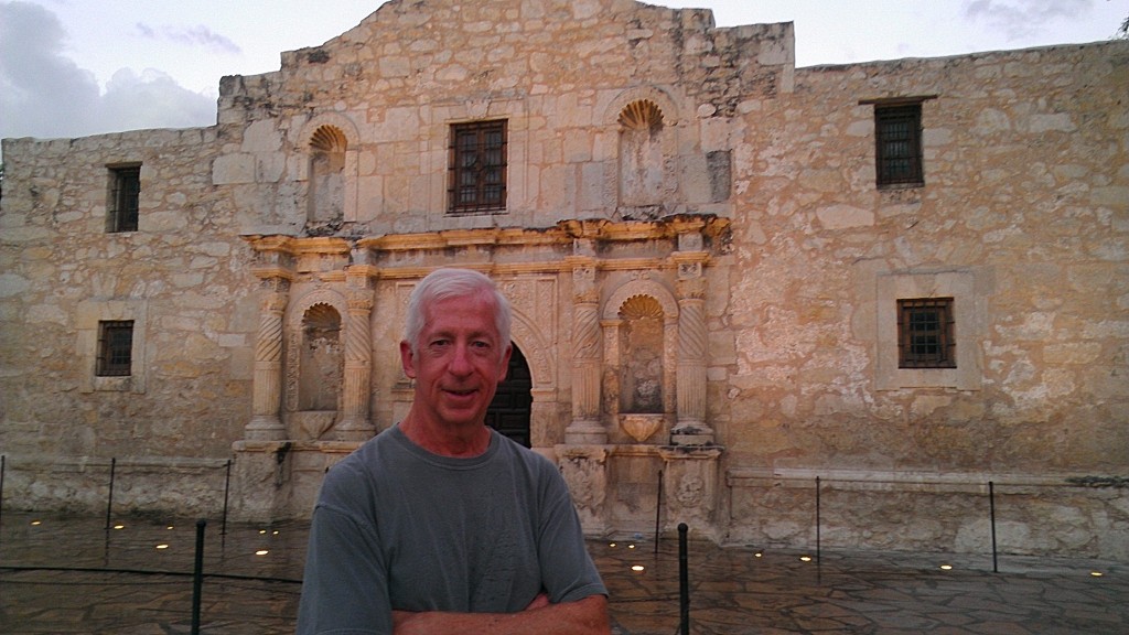
Brian at the Alamo.

Brian at the Alamo.

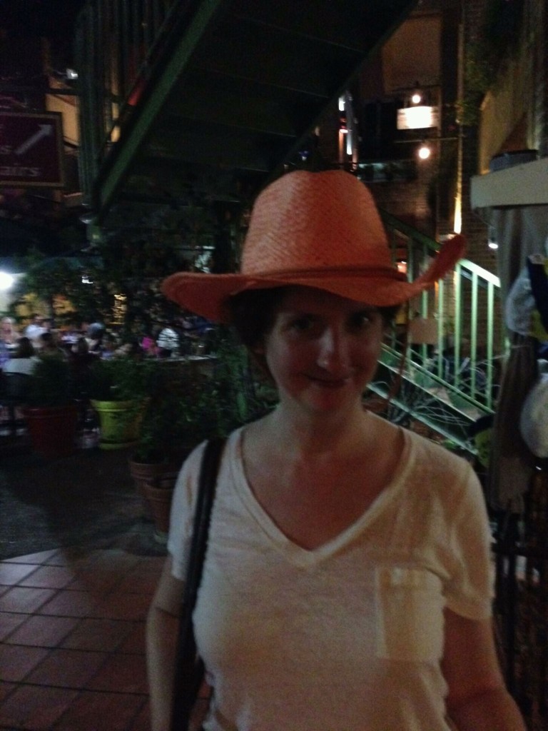
After an outstanding steak dinner at the Saltgrass Steak House on the River Walk (great choice Tim!), we finally managed to get Beth to at least try on a cowboy hat, even if we couldn’t interest her in letting us buy it for her.

Beth posing in a cowboy hat on the River Walk in San Antonio, TX.  Maybe on our next leg, we'll convince her to buy one. :)

Beth posing in a cowboy hat on the River Walk in San Antonio, TX. Maybe on our next leg, we’ll convince her to buy one. 🙂

All in all, it was a long but nice day, and a great way to end Leg 3!

At breakfast this morning, Tim told Mark and me that the cold he’s been fighting the past few days has finally gotten the better of him and so he wouldn’t be riding with us this morning.  Mark and I decided to ride anyway, but to make an easy day of it by riding with the wind instead of against it.  We decided to ride from Del Rio back to Comstock, a distance of only 30 miles, heading west with the wind, instead of from Comstock, where we left off yesterday, to Del Rio heading east against the wind.  We missed Tim on our ride today – it was uphill most of the way, but it was only 30 miles, so it went relatively fast.
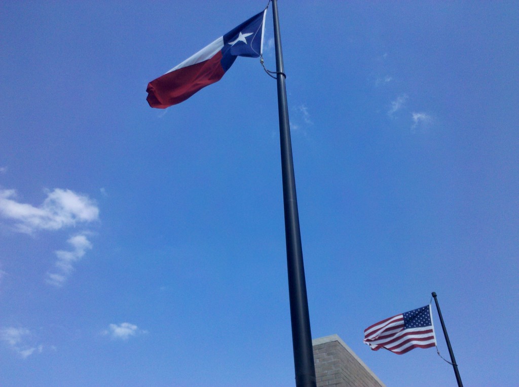
The first image I took a photo of today was of the flags of Texas and the U.S.  The flags were straight out and blowing in the direction we decided to travel, so it was a good omen.  Winds today were 15-20 mph with gusts up to 30 mph out of the east.  It would have been another hard ride if we opted to go against them, but we didn’t.

Texas and U.S. flags blowing in the direction we rode today.  Often in Texas, the state flag is somewhat larger than the U.S. flag (since Texas was a republic before it was a U.S. state), but these flags look to be the same size.

Texas and U.S. flags blowing in the direction we rode today. Often in Texas, the state flag is somewhat larger than the U.S. flag (since Texas was a republic before it was a U.S. state), but these flags look to be the same size.

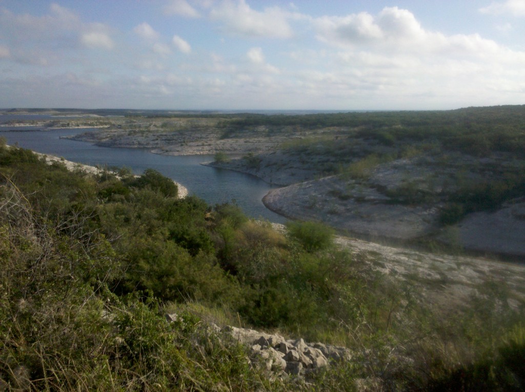
Just before we crossed over the Amistad Reservoir, Mark and I stopped to take a few pictures of this beautiful body of water.  It’s right next to a dam on the Rio Grande, and it fed by the Rio Grande and the Pecos Rivers.  It looks to be very high right now – we didn’t see any high water marks on the shore above its current level.

Close up view of the Amistad Reservoir on the east side along U.S. 90.

Close up view of the Amistad Reservoir on the east side along U.S. 90.

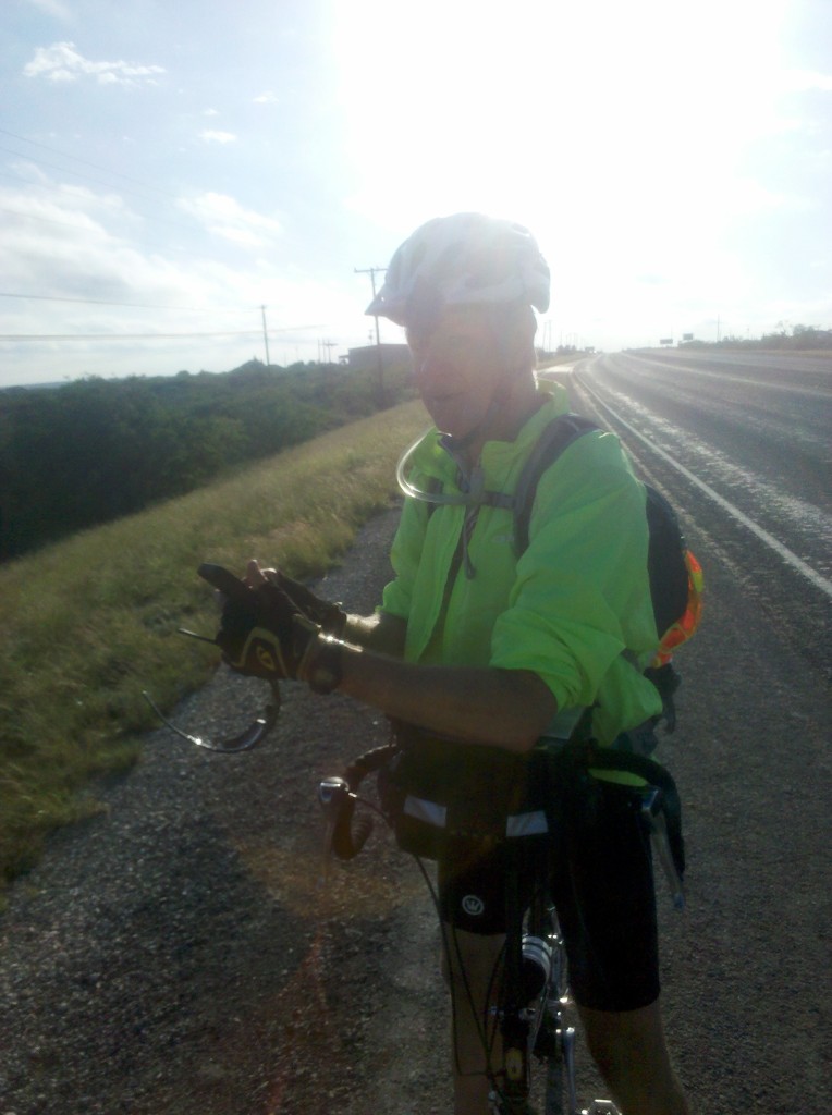
Mark taking a photo of Amistad Reservoir. It was another beautiful day, but we could feel the humidity today.

Mark taking a photo of Amistad Reservoir. It was another beautiful day, but we could feel the humidity today.

Mark and I were both a little concerned about crossing over the Amistad Reservoir on U.S. 90, since it is only a two-lane bridge with next to no shoulder whatsoever! But we were in luck, and also crossed it very early in the day.  Most of the traffic was headed in the opposite direction, towards Del Rio, while we were headed away from Del Rio.  So it was relatively easy, plus traveling with the wind allowed us to traverse the 2-mile long bridge very quickly.  But see for yourself in this next video.

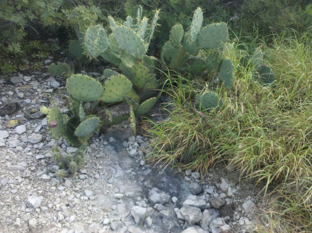
Once we crossed the bridge, we made a quick stop to phone Beth and ask her to meet us in Comstock at 11:00am.  We also took a few photos of the roadside vegetation.  Bet you can’t guess what I took some photos of …..  🙂

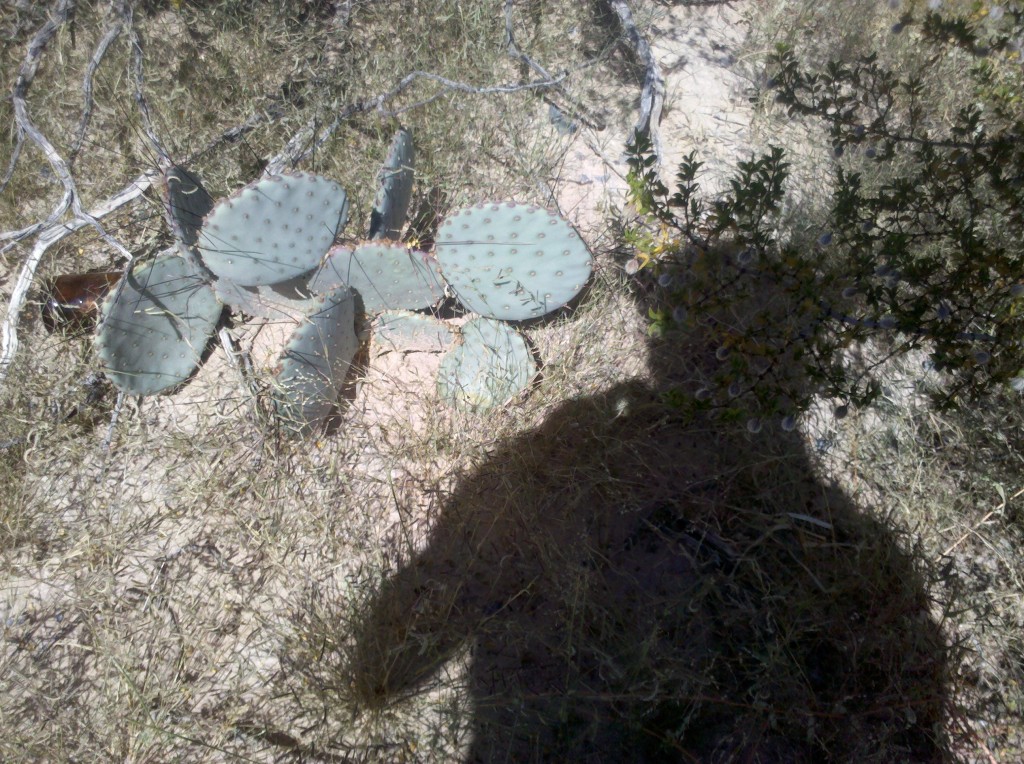
Prickly pear cactus photo #1 of the day.

Prickly pear cactus photo #1 of the day.

Prickly pear cactus photo #2 of the day.  Mark thinks these may be of the Teddy Bear variety and he may be right about that.

Prickly pear cactus photo #2 of the day. Mark thinks these may be of the Teddy Bear variety and he may be right about that.

The only unforeseen event of the day was that Mark got another flat tire, his third of this trip.  And this time if was my son Chris coming to the rescue.  He recommended that I take along a pump that he personally liked, and so I did.  Previously we had been using Tim’s pump but since he wasn’t with us, we used the pump Chris purchased for me and it worked fine!  So thanks Chris!

While we were changing the flat, the flies descended on us, finding us in less than one minute.  Mark and I agreed that the flies and other insects are the only thing about Texas that we’re not fond of – everything else about Texas (the history, the scenery, the courteous drivers and friendly people in general) have been great!  But the insects are another story.  They remind me of when my Dad was stationed in Texas during WWII and my Mom came down to live with him for a while.  I’m sure my sister Denise was with them also.  I remember my Mom telling me that the Texas insects were so pervasive, that aside from canned goods, every other food item had to be kept in the ice box to keep the insects from getting to it.  I can really understand why now.

But even with losing a little time changing the flat, we still made it to Comstock in time for Beth and Tim to pick us up at 11:00am.  Then it was a quick drive back to Del Rio, some relaxation in the pool and the hot tub, followed by a real Texas barbeque lunch, which was outstanding!  Beth, Mark and I decided we were going back there for dinner tonight!

Mark enjoying a brewski at the Hampton Inn hot tub, Del Rio, TX.  Map 3 of the Adventure Cycling Association Southern Tier Route is now complete!  We're going to let Tim decide, based on how he feels on Friday morning, whether we ride tomorrow or not.

Mark enjoying a brewski at the Hampton Inn hot tub, Del Rio, TX. Map 3 of the Adventure Cycling Association Southern Tier Route is now complete! We’re going to let Tim decide, based on how he feels on Friday morning, whether we ride tomorrow or not.

Today we got up shortly after 6 am, packed up the truck, and drove off the lot of the Outback Oasis motel, which was easily the worst accommodations we have stayed in this or any leg of the bike trips.  The bugs at the Outback Oasis, flies, ants, etc. might have enjoyed it, but not us.  Mark was somehow able to tune them out, but I was not and neither was Beth.  After a really good breakfast taco (bacon and eggs on a soft corn taco), we started the 30 mile drive past Dryden, where Beth picked us up at the end of the day yesterday.  Here are two videos I took early this morning, one on the drive to our drop-off point, and one shortly after starting out on our ride.  It’s pretty dark in the first video, but you can see the headlights from our Silverado pickup truck, and the white line forming the edge of the eastbound lane of US 90.

We had ambitious plans for today!  We wanted to bike 92 miles from 10 miles east of Dryden all the way to Del Rio.  But, unfortunately, the wind had other plans, which you can kind of get a feeling for from the last video.   I think about the time we were 30 miles out and pulling into Langtry, TX, we realized that we weren’t going to make it.  The winds were a steady 15-20 mph with gusts up to 30 mph, and they were mostly headwinds.  Once we crossed the Pecos River, the winds became a combination of head and cross winds, and they were relentless, not to mention discouraging.  It was all we could do to pedal between 8-10 mph on the flats.  When we were riding uphill, and there were a ton of hills today, we were moving at a 5-6 mph clip.  So after having traveled 30 miles in more than 3 hours, it was likely going to take us until sometime after 6pm if we continued to Del Rio.  So we opted to make it to Comstock, another 30 miles away, and have Beth pick us up there, which she did at 3:45pm.  Our average speed for today was under 10 mph.  Oh well ….
Aside from the wind, the day was nice.  It was sunny, and it warmed up from the 54 degrees we started with all the way up to 85 degrees by the time Beth picked us up in Comstock.  Traffic along US 90 was fairly light and 99% of the drivers were extremely courteous, moving all the way over to the left when they passed us.  Like most of US 90, the stretch between Sanderson and Comstock was just 2 lanes total, but with a speed limit of 75mph.

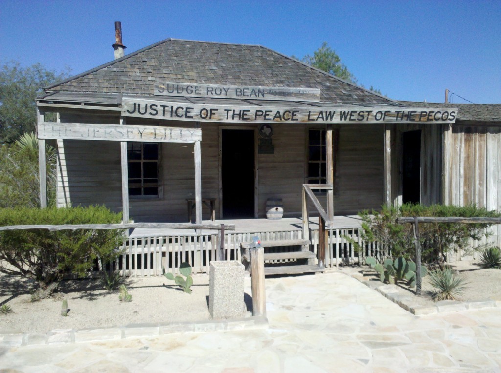
For me, the highlight of the day was our visit to the Judge Roy Bean Visitor Center in Langtry, TX, just a mile off of US90 on TX Spur 25.  There they tell the history of Judge Roy Bean, the law west of the Pecos.  His buildings are still there, restored no doubt but shown in the condition in which he occupied them.  The bonus part of the visit was the Judge Roy Bean cactus garden! Here are some photos from our visit.  If you’re ever in west Texas driving along US90 west of the Pecos River, don’t miss it!

Judge Roy Bean Courthouse, Langtree, TX.  This free historic attraction, offered by the Texas Department of Transportation, Travel Information Division, is well worth of visit!

Judge Roy Bean Courthouse, Langtry, TX. This free historic attraction, offered by the Texas Department of Transportation, Travel Information Division, is well worth of visit!

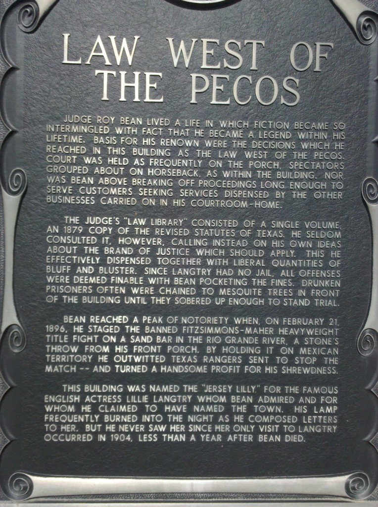
This historic marker at the Judge Roy Bean Visitor Center in Langtree, TX, tells more of his story and his shrewdness, especially when it came to making a buck!

This historic marker at the Judge Roy Bean Visitor Center in Langtry, TX, tells more of his story and his shrewdness, especially when it came to making a buck!

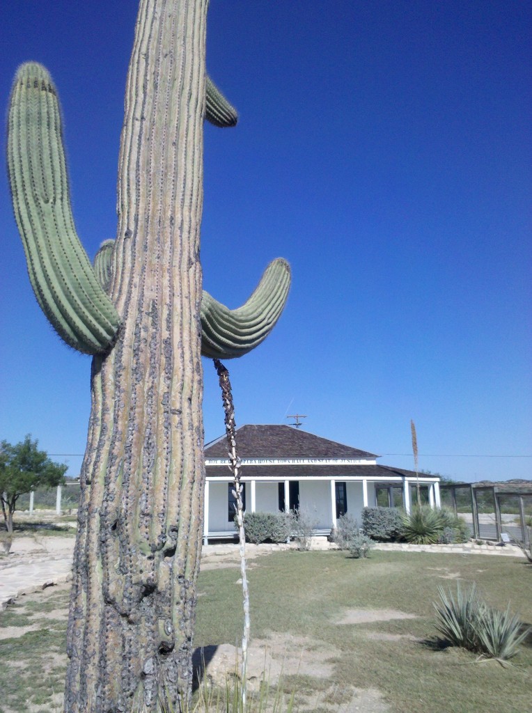
Saguaro cactus in Judge Roy Bean Visitor Center, Langtry, TX.  The only saguaro cactus we have seen on Leg 3 have been at Langtry.

Saguaro cactus in Judge Roy Bean Visitor Center, Langtry, TX. The only saguaro cactus we have seen on Leg 3 have been at Langtry.

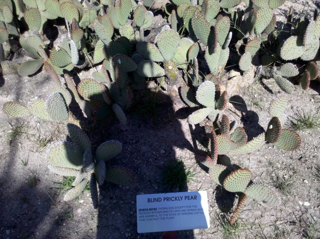
"Blind" prickly pear cactus in Judge Roy Bean cactus garden, Langtry, TX.  I'm really going to miss seeing prickly pear cactus every day ....

“Blind” prickly pear cactus in Judge Roy Bean cactus garden, Langtry, TX. I’m really going to miss seeing prickly pear cactus every day ….

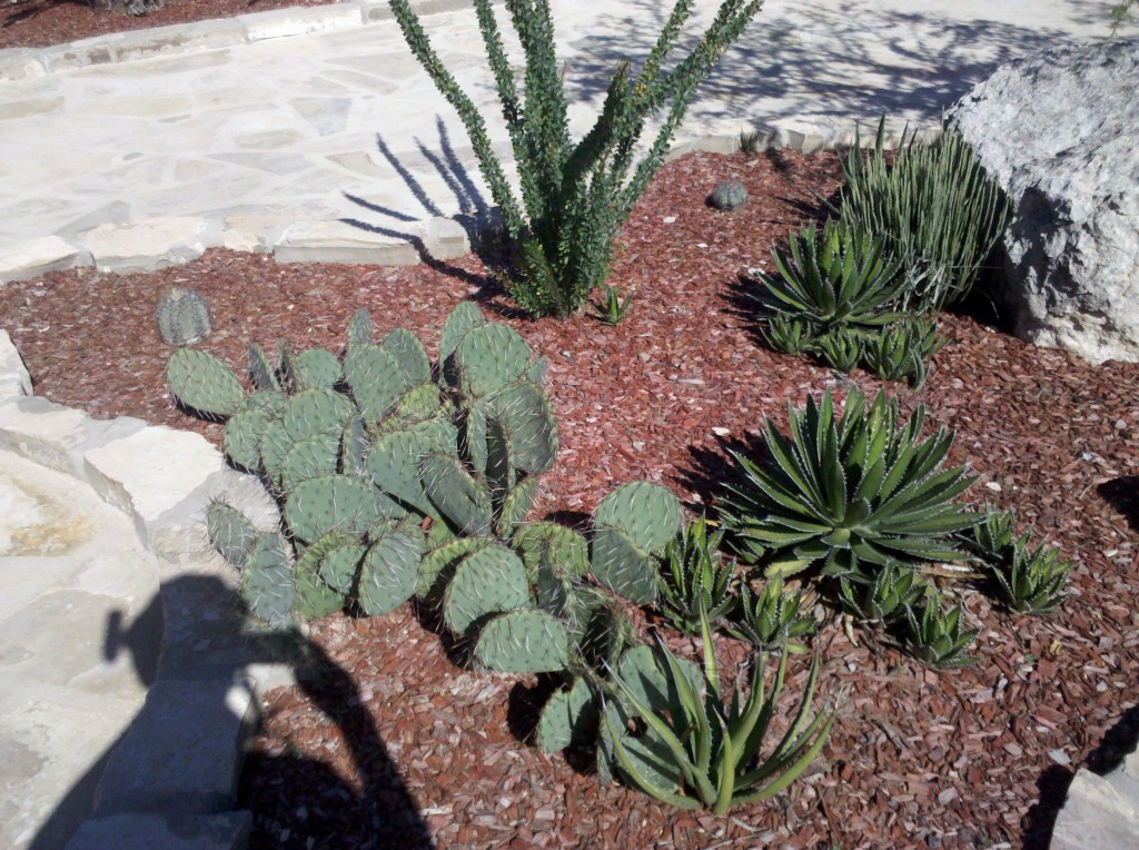
Prickly pear, Ornamental Agave, and Ocotilio cactus in Judge Roy Bean cactus garden, Langtry, TX.  Mark and Tim were getting a bit concerned that they'd have to remove me by force from the cactus garden! :)

Prickly pear, Ornamental Agave, and Ocotilio cactus in Judge Roy Bean cactus garden, Langtry, TX. Mark and Tim were getting a bit concerned that they’d have to remove me by force from the cactus garden! 🙂

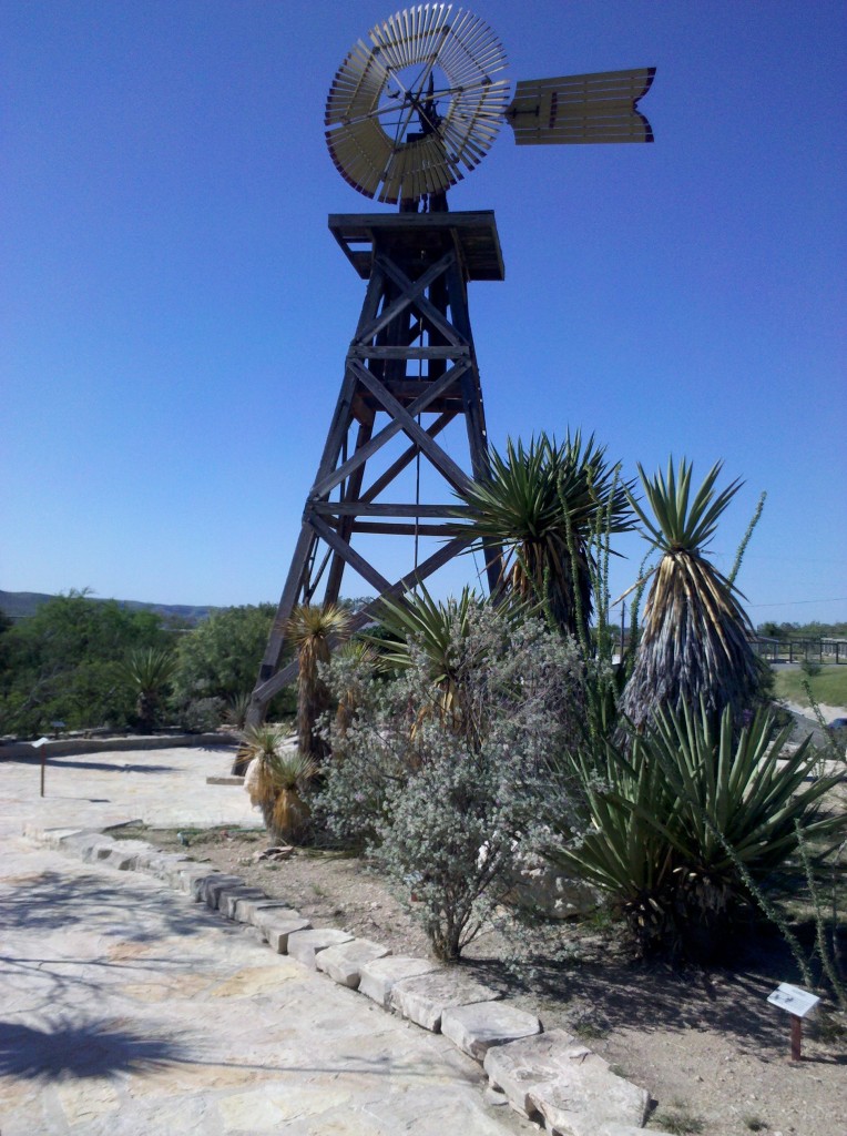
Windmill in Cactus Garden at Judge Roy Bean Visitor Center, Langtry, TX.

Windmill in Cactus Garden at Judge Roy Bean Visitor Center, Langtry, TX.

Gorge just west of Pecos River.  This was my only "scenic" shot of the day, but Mark took lots of them on the ride.

Gorge just west of Pecos River. This was my only “scenic” shot of the day, but Mark took lots of them on the ride.

The only other remarkable thing about today was the omnipresence of Border Patrol personnel.  I think we must have seen at least one vehicle every 30 minutes on the ride today.  Here is a video of a Border Patrol vehicle driving next to US 90 on a kind of a frontage road, except that it is gravel and not paved.  The vehicle is dragging three big tires behind it, which are sweeping the surface of the gravel road clean of any footprints.  It’s a little difficult to see the tires, but they are there in the very bottom right of the screen.  By sweeping the road, the next time they drive the road, probably early tomorrow morning, they’ll know if any people came along or over the gravel roadway.  We’re just a few miles from the border with Mexico, and within 40 miles from Del Rio, which is on the Rio Grande and right next to the Mexican border.

We’re having dinner at Chili’s (the best that Del Rio has to offer) and deciding what we’re going to do on tomorrow’s ride.  We’ll let you know tomorrow what we decided to do.  Bet you just can’t wait! 🙂

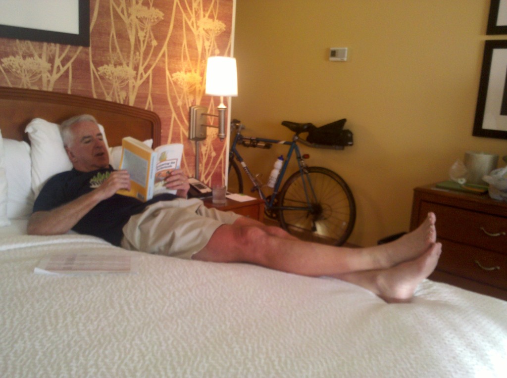
The only other thing I want to mention tonight is that I am reading a book loaned to me by Mart Lou Brogan, one of Nancy and my friends from our college years.  It’s called “The Given Day,” by Dennis Lehane.  It’s a very enjoyable read and I’ve been talking about it during almost all of our meals, but Beth, Tim and Mark might all want to read it, so I can’t give away any of the plot.  When I finish reading it, either on the plane home or possibly even before, I’m going to miss it.  It’s 700 pages long, but it’s moving very quickly.  So thanks Mary Lou, if you’re reading this!

Today’s ride of 85.5 miles was our longest but not the most difficult.  And we were all in pretty good spirits, joking and teasing each other most of the way, which helped the ride go faster.  At our first unplanned stop, there were cattle grazing by the road, and Mark wanted to get them stampeding; so he whistled and whooped and got them running, kicking up clouds of dust and “sort of” stampeding.  But it was just funny to see that he could be successful in moving them along.
At our next stop, we were paid a couple of visits by a tarantula, and Mark got a few pictures on his first visit.  When he returned, I was able to get this video of him.  I was glad we were on foot and able to move away from him, rather than camping out and never even aware of him until he was crawling all over us.

Outside of these videos, the ride was uneventful and the scenery was very much like anywhere we’ve been on these legs between eastern California and west Texas.  Very desert-like, with mountains off in the distance, and frequent sitings of U.S. Border Patrol vehicles.  We continue to hug the border, so the Border Patrol continues to have a big presence.  We’re staying the night in Sanderson, a town that’s only 16 miles as the crow flies from the border with Mexico.

Here are just a few pictures from today – can you possibly stand a few more pictures of prickly pear cacti? They are everywhere around here! They’re on folk’s lawns, on the sides of mountains, and in rocky gullies where probably nothing else can grow.

Prickly pear cactus plant in the garden of the Gates Hotel, Marathon, TX.  This was one of the more attractive ones I've seen on this leg.

Prickly pear cactus plant in the garden of the Gates Hotel, Marathon, TX. This was one of the more attractive ones I’ve seen on this leg.

Ocatillio cactus garden on rest stop outside Sanderson, TX along US90.  This photo doesn't do it justice - it was a very pretty cactus garden.

Ocatillio cactus garden on rest stop outside Sanderson, TX along US90. This photo doesn’t do it justice – it was a very pretty cactus garden.

Prickly pear and baby barrel cactus along US90 near Dryden, TX.  This was one of our last rest stops of the day.

Prickly pear and baby barrel cactus along US90 near Dryden, TX. This was one of our last rest stops of the day.

After passing through Sanderson, we continued on and got “bonus miles” to make Wednesday’s ride shorter.  Tomorrow we’re riding to Del Rio, which is about 115 miles or so from Sanderson.  We rode another 30 miles past Sanderson, riding through a real ghost town named Dryden, TX, which maybe has a few dozen people living there, although I really don’t know why.

Then a little after 3:45pm, Beth pulled up in her Chevy Silverado pickup truck, and we loaded up the truck with our bikes and then drove 30 miles back to Sanderson.  We showered, had a few bears and snacks, and then found a burger joint for a filling, if not exactly scrumptious, dinner.  After completing this blog, I’ll retire for the night.  We have another long ride ahead of us tomorrow.

On Mark’s suggestion, we got back on the Southern Tier route by having Beth drive us to Fort Davis, from which we biked first to Alpine using TX 118, and then east to Marathon, using US90 again.  It was only 55 miles and our total elevation change for the day was minus 800 feet, but the wind was in our face the entire day!  And it wasn’t a mild breeze either!

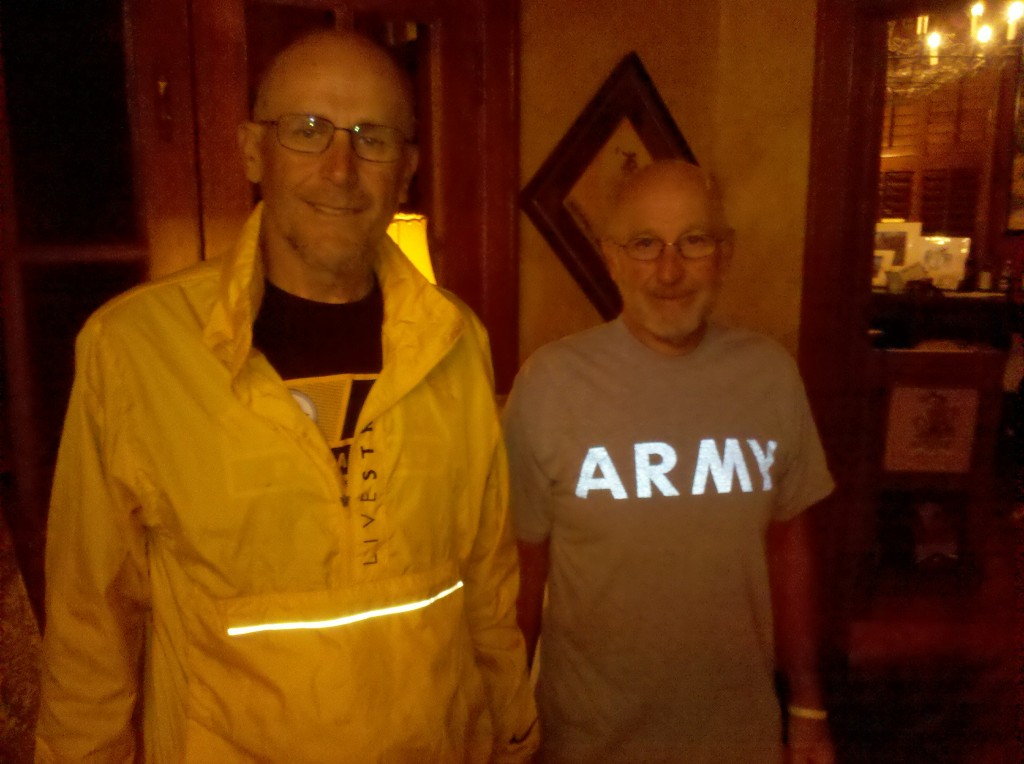
After not seeing any bikers at all for the first 3 days, our day began by making the acquaintance of two brothers also biking the Southern Tier route while we were at breakfast at the Gage Hotel.  Bruce and Dick are doing it all at once and except for three days that Bruce’s wife drove sag for them, they’re carrying all of their stuff with them on panniers.   They were both really nice!  Bruce is a retired PE teacher from Oregon and Dick is retired military currently living in Nevada. close to his children and grandchildren.   They’re about a day ahead of us though, so chances are we won’t run into them again.

We met Bruce and Dick, two brothers also biking the Southern Tier, while at breakfast at the Gage Hotel.  They're about a day ahead of us.

We met Bruce and Dick, two brothers also biking the Southern Tier, while at breakfast at the Gage Hotel. They’re about a day ahead of us.

Then after a really big and tasty breakfast at Larita’s Cafe in Fort Davis, we started our day’s ride along TX 118 South towards Alpine, TX.  We almost immediately ran into John, a bicyclist from Fort Davis out for his daily workout.  John rode with us for about 11-12 miles and we learned that he is a Park Ranger currently working at the Fort Davis Historical Center, right on the site of the old Fort Davis.  John is a Federal employee currently furloughed due to the budget stalemate back in Washington, DC.  We were all interested to learn that up to four years ago, John was a fire fighter working for the Federal Government at Big Bend National Park.  But the forest service requires that all fire fighter employees retire at age 57, to keep the workforce young.  Hence John’s current position as a Park Ranger at For Davis.

After making it to Alpine, we ate a quick lunch at McDonald’s and then headed to Marathon.  We made it there, despite the wind’s best efforts, by 3pm.  Here are today’s better pictures.  No videos again today – our internet connect at the Gage Hotel is just too slow to get them uploaded.

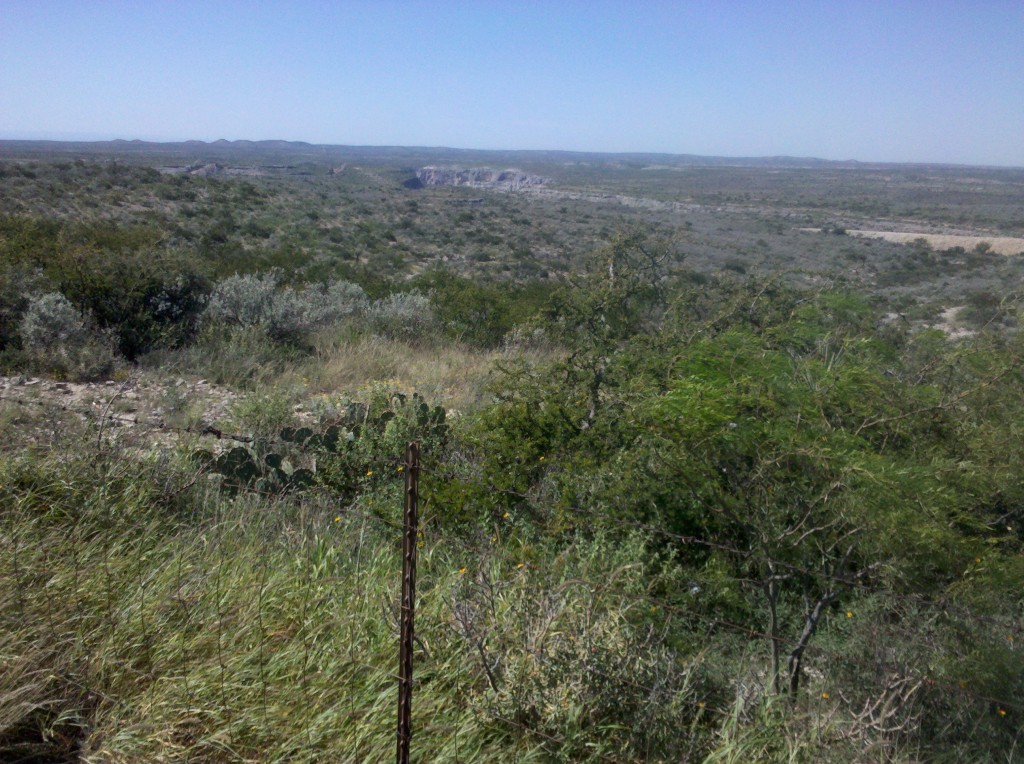
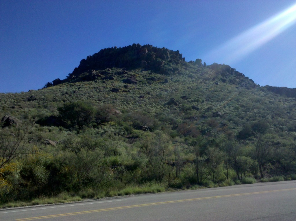
Puera Cito Mountains outside Fort Davis on TX 118.  The scenery along TX 118 was stunning!

Puera Cito Mountains outside Fort Davis on TX 118. The scenery along TX 118 was stunning!

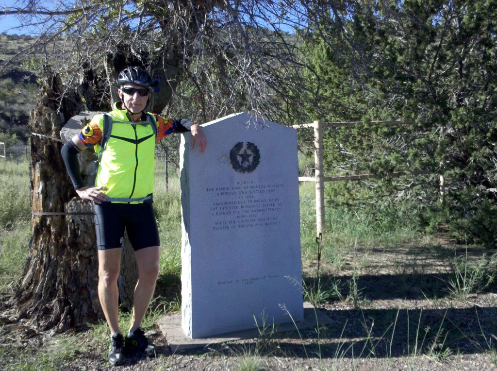
Brian at Historical Marker on TX 118 outside Fort Davis.  You'll have to ask Tim what the marker said.  And I was just kidding about this being one of the better photos of the day. :)

Brian at Historical Marker on TX 118 outside Fort Davis. You’ll have to ask Tim what the marker said. And I was just kidding about this being one of the better photos of the day. 🙂


Prickly pear cacti along US90 between Alpine and Marathon.  You do realize I have to include a photo of prickly pear cacti, don't you?

Prickly pear cacti along US90 between Alpine and Marathon. You do realize I have to include a photo of prickly pear cacti, don’t you?

Today’s ride totaled 76 miles and included 1400 feet of climbing, starting at an elevation of 3400 feet and getting up to about 4800 feet.  Much of the time we were climbing, we had the wind in our faces.  We started out on TX 20 and then took TX 192 for a while, and both of these are so-called Texas Farm Roads, where all of the vehicles using them are basically farmers.  For most of the day, except when we were actually on I-10 East, we saw very few vehicles and the ones we did were U.S. Border Patrol vehicles.

We also had a chance to chat with some Border Patrol officers at a check point on I-10 East.  They are all nice guys, eager to speak with crazy bikers on the way to Florida.  I guess we mix up their otherwise fairly routine day.

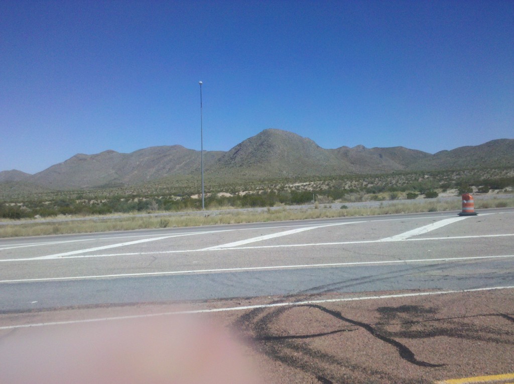
The terrain on today’s ride was almost identical to what we’ve experienced in California and Arizona.  It was the desert with cactus plants and mountains off in the distance.  It is not at all tiresome to me because I find it very beautiful.  I have some photos of our scenery below.

We started off at just after 9am MDT in Fort Hancock and took until about 4:30pm CDT to get to Van Horn, so our 76 mile journey today took us about 6.5 hours.  We made about 4 or 5 stops, most of them short except we probably did take a 20 minute lunch break along I-10.

We were on I-10 for maybe 15-20 miles today.  It’s not bad – the drivers are almost all very courteous, the truckers in particular will move over into the passing lane so that the wind they carry with them doesn’t make it to us.  Once we made it to I-10, which was right after TX 192 and with a little more that 50 miles left on our ride, we were either on I-10 or the frontage road alongside of it, variously known as either I-10 business or TX 80 – they’re the same road.  So here are some photos of our ride today.

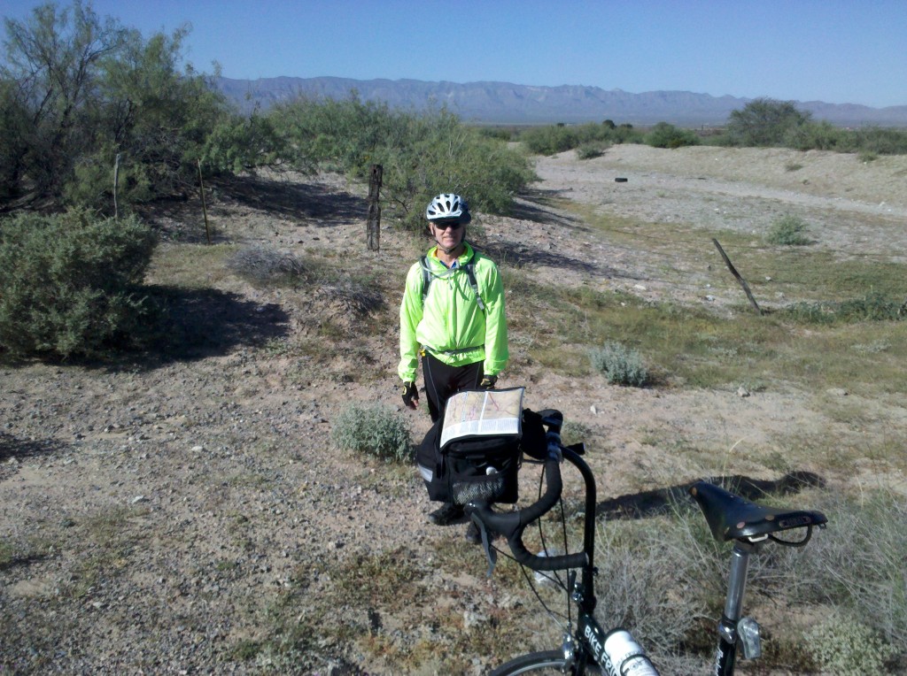
Mark at our 1st rest stop along TX 192

Mark at our 1st rest stop along TX 192


Prickly pear cacti along TX 192.  I thought we might not see many after this, but fortunately we did! :)

Prickly pear cacti along TX 192. I thought we might not see many after this, but fortunately we did! 🙂


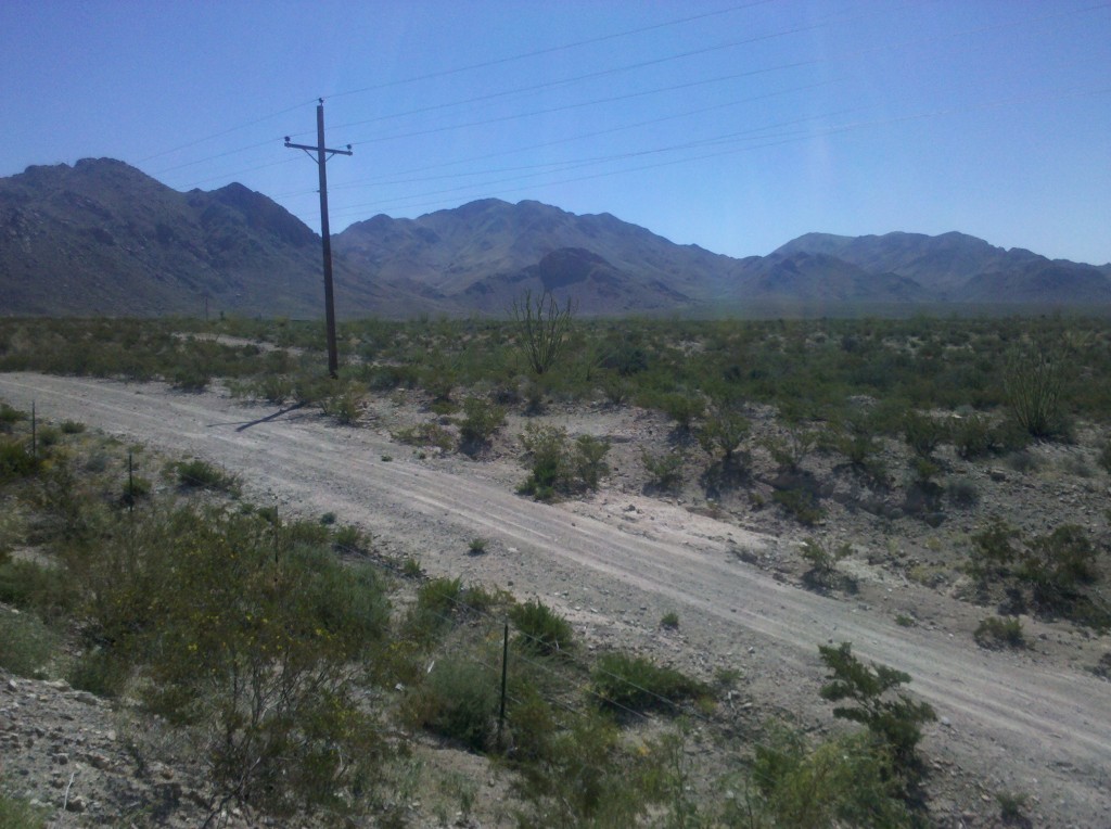
Cacti and mountains at mile marker 95 on I-10.

Cacti and mountains at mile marker 95 on I-10.


We were surprised at how much green vegetation there was in the desert in October - much different from what we've been seeing in our March sojourns.

We were surprised at how much green vegetation there was in the desert in October – much different from what we’ve been seeing in our March sojourns.


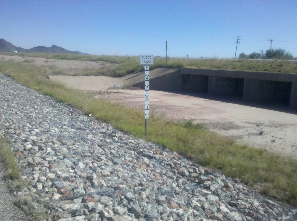
Several times today we saw signs saying "Watch for Water in the Road." Apparently, when it rains here, it really rains.  Here is a Flood Gauge sign along I-10 Business East, that can show how high the water in the road can get.  There are some months of the year when you definitely could not do this bike trip.

Several times today we saw signs saying “Watch for Water in the Road.” Apparently, when it rains here, it really rains. Here is a Flood Gauge sign along I-10 Business East, that can show how high the water in the road can get. There are some months of the year when you definitely could not do this bike trip.

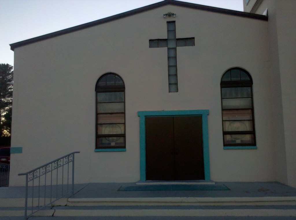
After getting into Van Horn, we inquired about the Catholic Church and were told it was within walking distance.  But then Beth looked up the Mass schedule for us, and there were no Masses on Saturday evening!  Sunday morning’s Mass is not until 10:00 am, and we have too far to ride to leave at 11 am or so and make it to our destination before sunset.  So unless there are Sunday evening Masses at our next stop, our quick stop to watch the St. Theresa Feast Day celebration in Fort Hancock at the start of today’s ride, and Beth and my visit to Van Horn’s Our Lady of Fatima Church (see below) will just have to do.

Our Lady of Fatima Church, Van Horn, TX.

Our Lady of Fatima Church, Van Horn, TX.

I took a couple of videos today.  Here is one of them.

After another sometimes frustrating experience of assembling my Richie Breakaway, Tim and Mark and I left the hotel to purchase some groceries and to purchase a spare tire to Tim and me.  Then around 11:30am, we left the hotel and began biking out of El Paso.  The traffic overall wasn’t too bad, and drivers by and large were courteous.

By 12:30pm we decided to stop for lunch just outside Socorro, which was the biggest town we rode through.  I have a few pictures of our stop there below.  We stopped a few more times, once to repair Mark’s flat, once to call Beth to ask her to leave the hotel by 2:15pm to meet us at Fort Hancock, and once more so that I could retie my shoes, since the laces were getting too close to the sprocket for comfort.  We made it to Fort Hancock just after 3pm and loaded our bikes up in the flatbed of Beth Chevy Silverado pickup truck.  Then we drove back to the hotel.  Tim, Mark and I took a dip in the pool and the hot tub.  We showered and changed, had a few beers while Tim read to us from “Conquering the Borderlands,” and went out to a fine dinner of (what else?) Mexican food!  I was in bed by 8:15pm!.

Here are some pictures from Day 1.

Mark and Tim at lunch stop past Socorro, TX

Mark and Tim at lunch stop past Socorro, TX

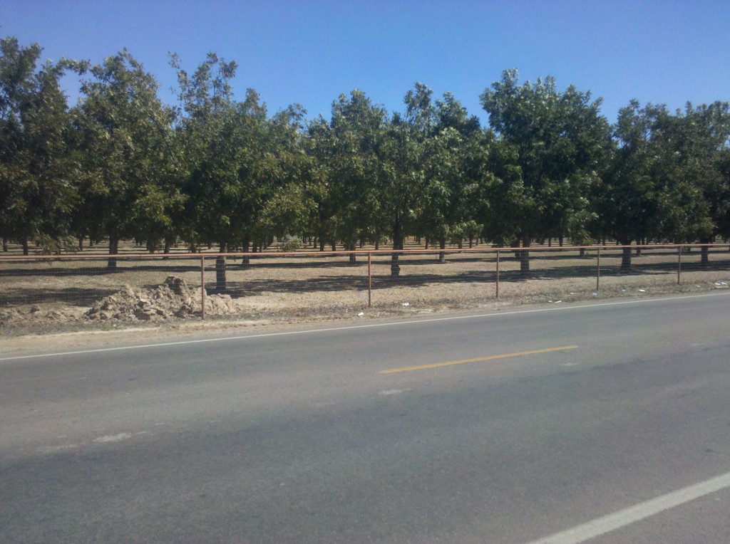
Here is what pecan trees look like with leaves on them.

Here is what pecan trees look like with leaves on them.


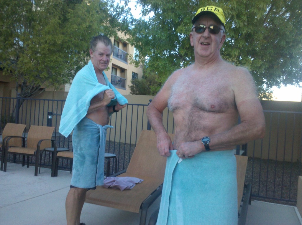
Tim and Mark drying off at hotel hot tub after Day 1

Tim and Mark drying off at hotel hot tub after Day 1.

Tim reading "Crossing the Borderlands" after Day 1

Tim reading “Crossing the Borderlands” after Day 1


We had a nice breakfast, cooked by Tom (who also happens to be a gold prospector) at the Black Range Lodge, and were on our way by about 8:30 a.m., which was a little later than we would have liked.  I took my one and only video of the day shortly after leaving Kingston.

[vimeo clip_id="61231576" width="620"]

There is just no other word for it – this day’s ride was tough!  We all agreed that this was the most difficult ride, even though we dropped about 2,300 feet in elevation.  But it was an 89 mile ride and it took us about 9 hours total, including about a 30 minute or so lunch break at The Pepper Pot Cafe in Hatch, NM (which was very nourishing and tasty, by the way!).  I took only a few pictures during the ride, and here they are:

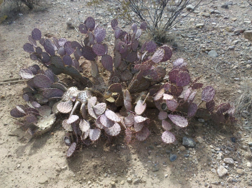
Prickly pear cactus along NM 152.  We still saw lots of prickly pear cacti this day and the next, but this was the last purple one I saw.

Prickly pear cactus along NM 152. We still saw lots of prickly pear cacti this day and the next, but this was the last purple one I saw.

Mark at break along NM 187.

Mark at break along NM 187.

We finally arrived at our hotel at about 5:30 p.m., when we were beginning to run out of daylight.  Our late arrival reminded us all of a similarly long day on L1 when we arrived at the Fairfield Inn in El Centro, CA after dusk.

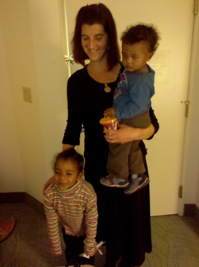
When we arrived, we were met by Beth, and also by Tim’s daughter Mary and her two children Nalla and Suokamo.  Mary lives in Albuquerque, NM and made the 3.5 hour drive south along Interstate 25 to meet up with us for the evening.  Here is a picture of Mary and her children, taken from Beth’s room at our hotel.

Nalla, Mary and Soukamo in our hotel in Las Cruces.

Nalla, Mary and Soukamo in our hotel in Las Cruces.

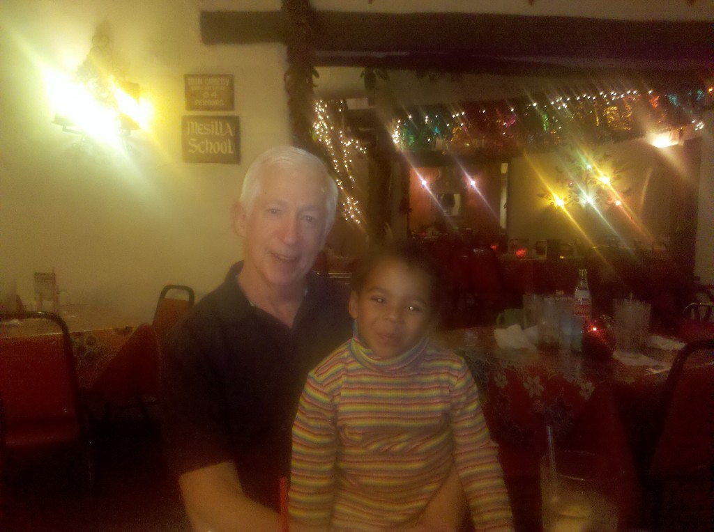
After showering, enjoying a beer, and visiting with Mary and her children, we all went to dinner at a Mexican restaurant named La Posta in Mesilla.  We had a very good meal and just enjoyed being together.  I was happy for Tim that he was able to spend some time with Mary and his grandchildren, with whom he doesn’t often have a chance to visit.  Here is my last photo for the day, taken by Beth in La Posta.

Brian and Nalla at La Posta Restaurant, Mesilla, NM.

Brian and Nalla at La Posta Restaurant, Mesilla, NM.

I should have blogged when we got back to the hotel, but I was just too exhausted after the long day.  However, for really the first night of this trip, I was able to get a great night’s sleep!