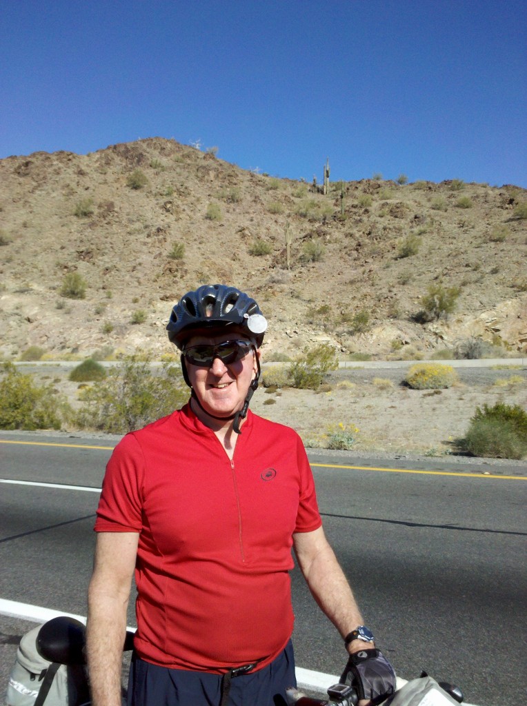
Brian

We left our nice hotel in Lordsburg, NM just after 7 a.m. in the morning, and made our way back the way we had come the previous afternoon, using U.S. 70 West until it hit N.M. 90.  Along the way, we passed our first Border Patrol Station, which I had not noticed yesterday.  Once on N.M. 90, it was a long, long climb with no help at all from the wind.  And after having ridden for 4 straight days, I was not a happy camper to have to immediately start climbing.  But after our second rest stop, Mark cheered me up.  Check out this video to find out why! 🙂

[vimeo clip_id="61043681" width="620"]

A little later, we came upon a historical marker, which seem to just suck Tim in so that he can read them.  So here is a clip of Tim reading to his apparently illiterate brothers! 🙂

[vimeo clip_id="61043684" width="620"]

Our next major event was when we reached the Continental Divide, at an elevation of 6,335 feet, meaning we had climbed almost 2,500 feet.  Here is a short video I took when I made it to the Continental Divide.

[vimeo clip_id="61043683" width="620"]

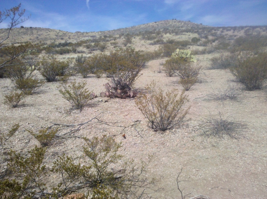
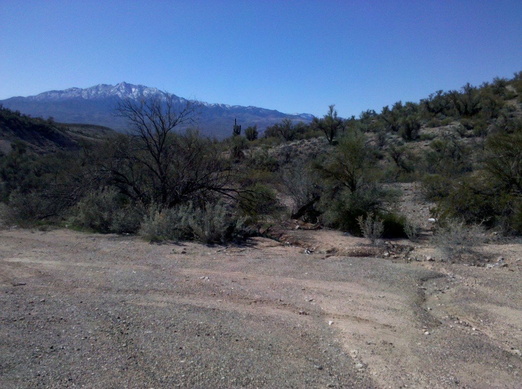
By the time of our next stop, the vegetation along NM 90 was way different from what it was at the junction of NM 90 with U.S. 70, all the way back in Lordsburg.  The terrain is again “Kansas grassy” with some evergreen trees popping out of the ground, and lots of cactus plants mingled in also.  Here is a picture of the fields along NM 90 about 20 miles west of Silver City.

Tim, trees and cacti along NM 90, 20 miles outside of Silver City, NM.

Tim, trees and cacti along NM 90, 20 miles outside of Silver City, NM.

We made it to Silver City and our hotel shortly after 1 p.m. for our earliest arrival time yet.  Still, it took us 6 hours to ride all of about 49 miles and climb 2,500 feet.  Silver City is at an elevation of 5,938 feet, so we ended up about 400 feet lower than our highest point at the Continental Divide.  But for me, this was the hardest day so far on L2.

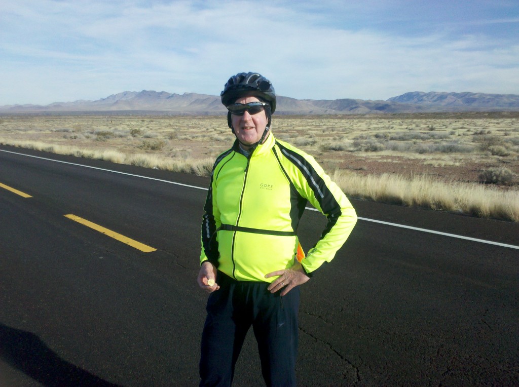
After showering and changing, Beth drove us into the downtown area of Silver City.  We visited Twin Sister bike store, where I purchased a better rear view mirror for my helmet, a better pair of sunglasses, and a new seat for my bike (at the insistence of Tim, Mark and Beth).  Tim and Mark both feel I expend too much energy standing and pedaling to help save my sore butt.  Hope it’s not too difficult to install on my bike – Tim promised he would do that, so we’ll see.

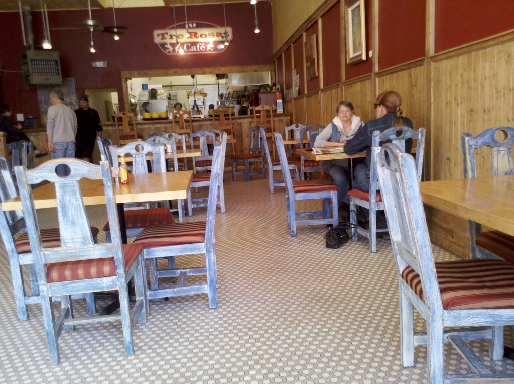
After our visit to the bike store, we walked across the street to Tre Rosat Cafe for a real nice lunch.  Here is a picture of the inside of this Cafe.

Deocr in Tre Rosat Cafe in downtown Silver City, NM.

Deocr in Tre Rosat Cafe in downtown Silver City, NM.

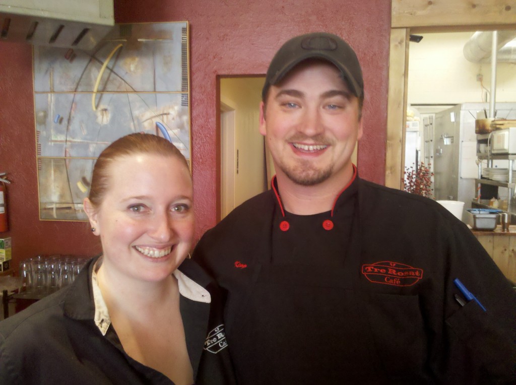
We had salads and pizza for lunch, with some good brews also, of course!  Our servers were the husband and wife owners of the Cafe, who were both incredibly nice.  But see for yourself!

Husband and wife owners of Tre Rosat Cafe, Silver City, NM.

Husband and wife owners of Tre Rosat Cafe, Silver City, NM.

She is a native of British Columbia and he was born in Oregon and they met in Southern California.  They’ve been together for six years and married for the last year and a half.  The atmosphere was cozy, the beers were great, and the food was delicious.  So if you’re ever in Silver City, I recommend you stop in for a bite!

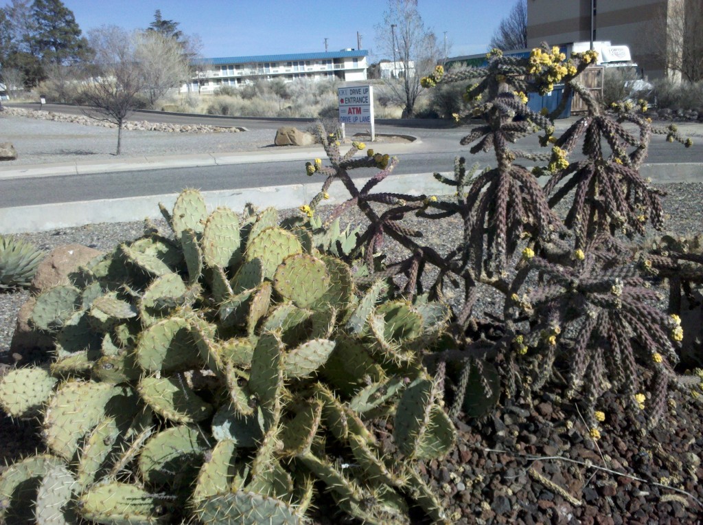
After leaving downtown, we took a driving tour of Western New Mexico University, which is just a few blocks from downtown Silver City.  Then it was back to our hotel, which has a cactus garden right out front, which was too nice for me to pass up! 🙂

Cactus garden outside hotel in Silver City, NM.

Cactus garden outside hotel in Silver City, NM.

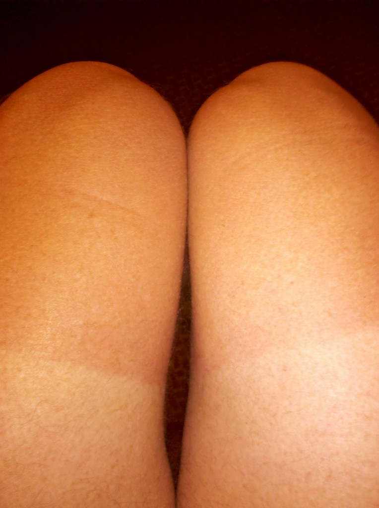
Beth, bless her heart,  is in the process of washing our dirty bike clothes, while Tim, Mark and I take naps and/or work on our homework, I mean blogs.  Yesterday I mentioned how sunburn Tim’s legs were getting, but it’s happening to all of us, even though we continue to slab on the sunscreen religiously each morning.

I think this is what they mean by biker's tan.

I think this is what they mean by biker’s tan.

We’re meeting at her room for our nightly ritual of Tim reading about the next day’s ride while we continue re-hydrating ourselves with some good ales!
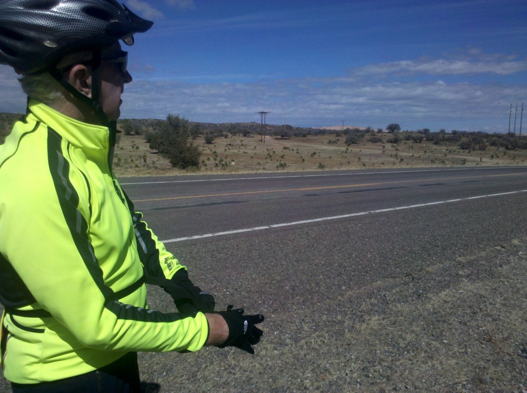
We left Safford, AZ at about 7:45 a.m.  It was only 39 degrees but sure to warm up quickly so, for a change, I did not put on any extra layers and did not regret it.  Here is a video of us at we first started out.  Based on some comments about the videos, I tried to narrate them today, as much as I could.

[vimeo clip_id="60967644" width="620"]

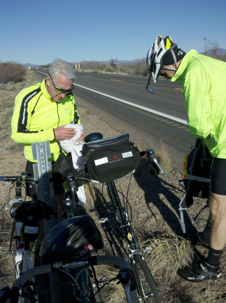
As usual, we made our first stop about an hour into the ride.  Here’s a shot of Tim at that rest stop, which was about 12 miles into the ride.  Notice the hat under his helmet and the long pants.  We have all gotten quite sunburned on our legs, so Tim kept those pants on the entire ride, even though it eventually warmed up to about 75 degrees today.

Tim at first rest stop along U.S. 70, 12 miles outside Safford, AZ.

Tim at first rest stop along U.S. 70, 12 miles outside Safford, AZ.

Our next stop was at a historical marker erected by members of the Church of the Latter Day Saints, in memory of two of their congregation who were killed by Indians who had stolen 45 of their horses.  Listen as Tim (yes, Tim, believe it or not!) reads from the words on the historical marker.

[vimeo clip_id="60967646" width="620"]

Not too far from the marker, the vegetation seemed to change and the hills became grassy and similar in color to the hills of Kansas.  However, unlike the Kansas grasslands, there were trees and bushes and even some prickly pear cactus, as I show in this next picture, taken at our third stop of the day.

Purple (center) and green (right) prickly pear cactus plants at 3rd rest stop along U.S. 70.

Purple (center) and green (right) prickly pear cactus plants at 3rd rest stop along U.S. 70.

It was after this stop that the grassy nature appeared, as I tried to show and to discuss in this next video clip.

[vimeo clip_id="60967647" width="620"]

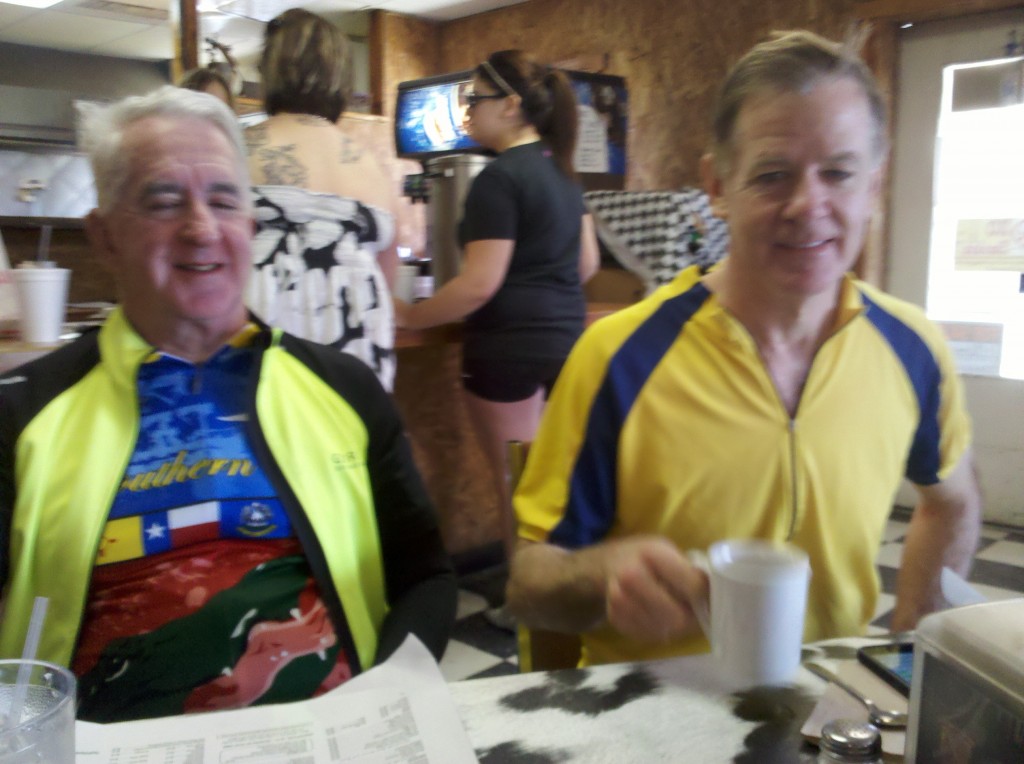
We made it to Duncan and met up with Beth, who had passed us along U.S. 70 about 30-40 minutes before we got there.  We had a nice lunch in Old Jo’s Cafe, which seems to be the only place in town where people can eat out.  We got there just before church let out and the place filled up with locals, most of whom gave us the typical strange looks we get when garbed in our biking outfits, all except Beth, of course.  Here is a shot of Tim and Mark at Old Jo’s Cafe.

Tim and Mark at Old Jo's Cafe, Duncan, AZ.

Tim and Mark at Old Jo’s Cafe, Duncan, AZ.

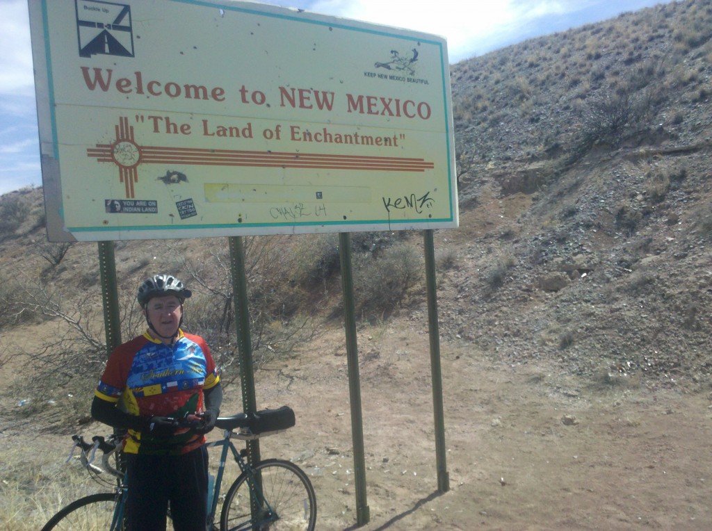
After lunch, we had about 36 or so miles in front of us.  At this point we were blessed with a strong tailwind, that took us into Lordsburg, NM in just about 2 hours, even with one more stop.   You come upon the State of New Mexico, shortly after leaving Duncan, AZ and here is a picture of Tim under the Welcome to NM sign.

Tim under Welcome to NM! sign.

Tim under Welcome to NM! sign.

Here is a video clip I took in appreciation for the great tailwind and the newly paved surface of U.S. 70.

[vimeo clip_id="60972736" width="620"]

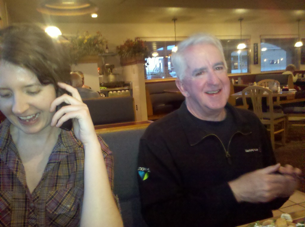
We made it to Lordsburg at about 3 o’clock, a distance of about 78 miles including a climb of about 1500 feet. Were it not for the tailwind, this would have been a much more difficult ride.  Tim and Mark went for a swim in the hotel pool (they didn’t get enough exercise? go figure!) while I showered and took a nap.  At 5 o’clock we met up in Beth’s room at our Comfort Inn and Suites (our nicest hotel thus far), to drink some beer, eat some snacks, and listen to Tim read about our next day’s ride in “Conquering the Borderlands.”  At about 6 o’clock, we went to dinner at Kranberries, a family restaurant not too far from our hotel.  Here are a few pictures I took at dinner.  Beth is talking to Marcia (Tim’s wife) in this next picture.

Beth and Tim at Kranberries Restaurant, Lordsburg, NM

Beth and Tim at Kranberries Restaurant, Lordsburg, NM

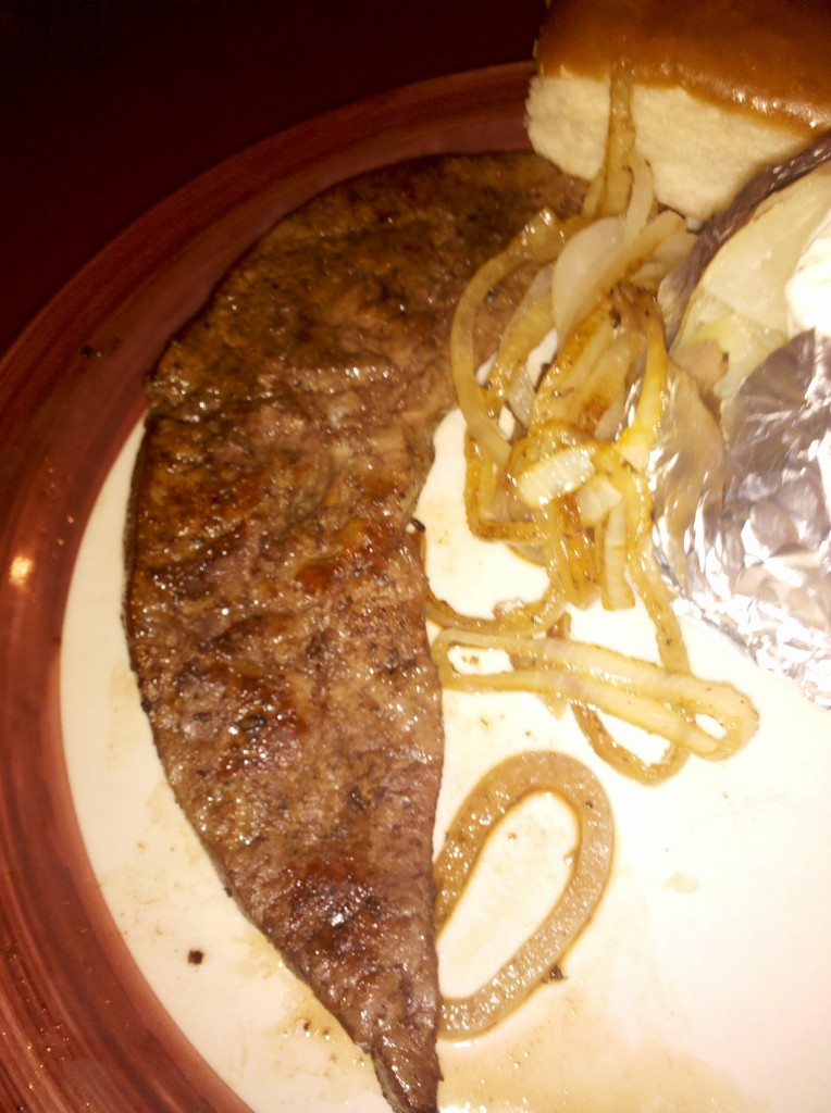
Tim ordered liver and onions for dinner.  Nancy and I remember eating with Tim at a restaurant in Upper Darby by the name of O’Malley’s, and he would always order liver and onions for his meal.  I remember it being very pungent, so whenever the restaurant was out of that dish, Nancy and I were glad.  But just for old times’ sake, here is a picture of Tim’s meal for tonight.

Tim's Liver and Onion dinner in Kranberries Restaurant, Lordsburg, NM.

Tim’s Liver and Onion dinner in Kranberries Restaurant, Lordsburg, NM.

Tomorrow we ride to Silver City, NM.  It’s only about 50 miles but we’ll be climbing about 1700 feet from our current elevation in Lordsburg and about 3000 feet from our lowest elevation during tomorrow’s ride.  Hopefully we’ll have another tailwind!

We left our hotel in Globe at about 7:40 a.m. with the sun directly in our eyes and a ride of about 77 miles in front of us, our longest so far.  We had some climbing today, but overall our elevation dropped by about 600 feet.   Mostly the terrain seemed flat, although there were a few nice downhill rides.  Here is a video of one of them, shortly after we left Globe.

[vimeo clip_id="60918228" width="620"]

Not too far out of Globe, we left U.S. 60 and took U.S. 70 all the way to Safford, AZ.  Our journey was actually on the San Carlos Apache Indian Reservation most of the day.  We saw one casino but also saw road signs marking U.S. 70 and other Arizona highways, along with signs in the form of inverted arrow heads marking Indian highways on the reservation.  We made our first stop of the day a little more than an hour after leaving Globe.  Here is a picture I took on our first rest stop.

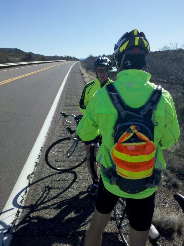
Tim and Mark some 10 miles out of Globe on US70.

Tim and Mark some 10 miles out of Globe on US70.

About 75 minutes later we made our second rest stop of the day.  Here are two pictures I took at that stop.

Mark and Tim at rest break along US 70

Mark and Tim at rest break along US 70

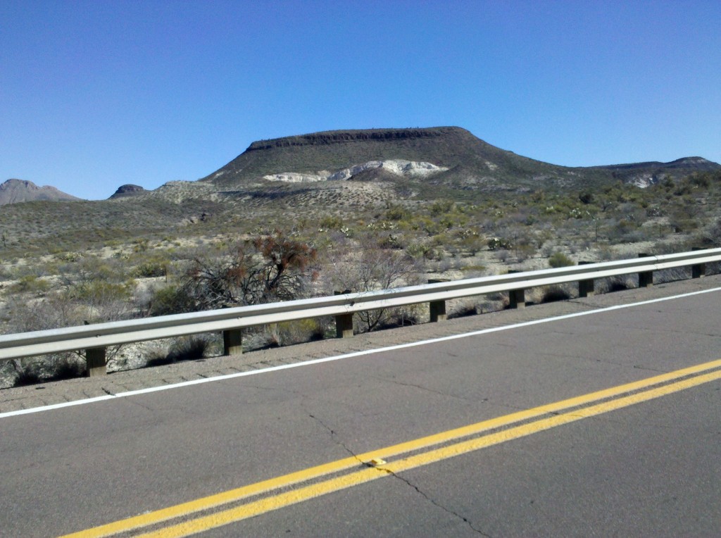
An Arizona Butte along US 70.

An Arizona Butte along US 70.  Note the prickly pear cacti in the foreground beyond the guardrail.

Beth met up with us at our next rest stop, by pulling over to the side of the road about an hour after our second stop.  By this time, Mount Graham is visible to our south and it stays with us for the rest of the day, sometimes making us feel that we’re not even moving!  Here is a shot of the snow capped Mount Graham, where there is supposed to be an observatory with a very powerful set of mirrors.

A shot of the snow capped peaks of Mount Graham along U.S. 70.

A shot of the snow capped peaks of Mount Graham along U.S. 70.

Not too long after this third rest stop, I took this video.  Ham that he is, Mark decided he wanted to be in the video, so you’ll see him move into the video shortly after I started taking it.

[vimeo clip_id="60918229" width="620"]

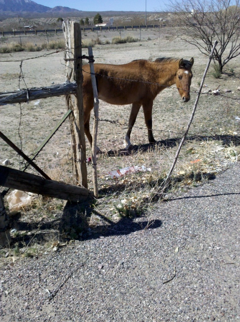
Our next stop was in a town called Bylas, by which point I was dragging and my feet were hurting from some Dr. Sholls’ inserts I had put in my shoes early in the morning before we left.  At the Bylas rest stop, I took them out and began to feel much better.  While walking around to get the feeling back in my feet, I took this picture of a horse.


Horse at rest stop in Bylas, AZ

Horse at rest stop in Bylas, AZ

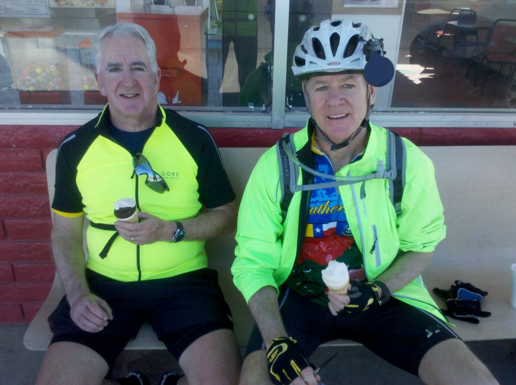
We made a few more stops, but the best stop of the day was at a place called Taylor Freeze in Pima, AZ.  We had been seeing signs for Taylor Freeze for about 5 or 6 miles before we got there, and the signs did the trick of reeling us in to the place.  It reminded me of a Dairy Queen and the ice cream cones Mark and Tim bought and my strawberry milkshake tasted just as good as something from Dairy Queen.  Of course, the fact that we had ridden about 67 miles by that point might have contributed just a little to that sentiment.  Here is a shot of Mark and Tim enjoying their ice cream.

Tim and Mark at Taylor Freeze in Pima, AZ.

Tim and Mark at Taylor Freeze in Pima, AZ.

While we were enjoying our treats, we chatted with a family from Pima, which had moved there from San Diego to work in greenhouses there.  This fellow works growing beefsteak and grape tomatoes and mini cucumbers.  He’s been there for about seven years and purchased a home for about 10% of what it would have cost him (if he had been able to afford it) in San Diego.  There were all very nice and super friendly.

We had a little more riding to do but made it into Safford and our hotel by 3:30 p.m.  Tim and I went to a 6 p.m. mass at St. Rose of Lima Church in Safford, which was interesting for the congregation in attendance.  Unlike the nearly homogeneous east coast congregations, this one was about 1/3rd Anglo, 1/3rd Hispanic, and 1/3rd American Indian.  There was also at least one Asian family in attendance.  The liturgy was familiar and Tim and I knew all the songs, which were played by a guitar player in the back of the church in a choir loft.  There were also lots of young people in attendance, who didn’t all seem to be there with their parents, which is another difference from the east coast.

We all went to dinner afterwards at the Copper Steer just outside of town.  We all had steak (although Beth was good – her’s was with a green salad) and it was excellent!  Then it was back to Beth’s room for Tim to read to us from “Conquering the Borderlands” about what to expect on tomorrow’s ride.

This was a long day but not too long.  Mark picked me up at my house at 4:45 a.m. EST (2:45 a.m. Arizona Time) and we drove to the airport, checked ourselves and our bags in, and made it through security in record time.  Our US Airways (soon to be American Airlines) flight to Phoenix was uneventful and I was able to work the entire time and get everything finished that I had planned to.  Our flight made it in to Phoenix almost an hour early and Mark’s and my checked luggage was the very first out!  I called Beth (who, along with Tim had flown in the prior evening) and she arrived to pick us up and take us to the Tempe Marriott Courtyard, the same hotel we ended at on last year’s leg (L1 using Beth’s acronym).  After (mostly) assembling my bike and after Mark (completely) assembled his, and after a quick lunch in Tempe, we were on our way.  We only had 25 miles or so on this first day’s ride, so we only made one stop.  Here is a photo from our only rest stop, which was at a QT store along our route.

Mark and Tim outside QT store rest stop.

Mark and Tim outside QT store rest stop.

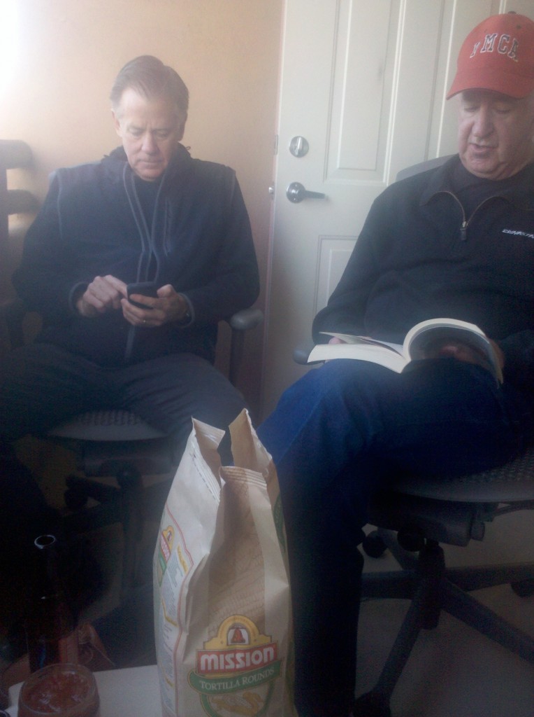
We made it into Apache Junction with about 2 hours or so of riding.  Once there, we picked up our daily ritual of drinking a few cold ales, munching on snacks, and listening to Tim reading from “Conquering the Borderlands,” by Lorraine Viesz.  Ms. Viesz was a rider on the annual Women’s tour of the Southern Tier route, and wrote a book about her ride and the history of all the places along the route, which she published in 2009.  Mark, Tim and I all read it before L1, but Tim’s daily reading reminds us of things we have forgotten.  Here is a shot of Tim reading to us, as we toss down some cold ones.

Tim reading from "Conquering the Boderlands," while Mark listens intently! :)

Tim reading from “Conquering the Borderlands,” while Mark listens intently! 🙂

Well, OK, maybe he’s not actually on the edge of his seat.  But Beth is listening, for real! 🙂

Beth actually listening to Tim read!

Beth actually listening to Tim read!

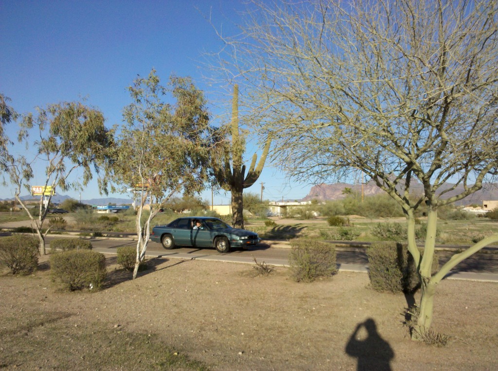
For me, the highlight of the day was getting out of the Phoenix urban sprawl and back into the Arizona desert.  Here is a photo showing a Saguara in the midst of several verde trees.

Saguara Cactus and Verde trees in Apache Junction, AZ

Saguara Cactus and Verde trees in Apache Junction, AZ

We had an OK dinner (and some very good margarita’s), and then returned to the Best Western after picking up more supplies at a Safeway in Apache Junction.  I fell asleep within minutes of getting back to my room, which is why I didn’t post last night.  From here on, I expect to do my homework (aka blog posting) every evening before bed. 🙂


We got on the road by 7:40 a.m., after a quick breakfast in our Best Western Hotel.  Forgetting it was a Friday in Lent, I inadvertently ate some sausage links for breakfast and then quickly forgot about it.  When we sat down for lunch in Superior, AZ,  I remembered it was Friday.  Paraphrasing here, Mark teased me that, since I had already sinned by eating meat once today, my milk bottle soul couldn’t get any blacker by having a burger for lunch, but I successfully resisted the temptations of the Mark devil and had a grilled cheese sandwich for lunch.  Here are a few pictures of the rest stop we took about 90 minutes into the ride.

Tim & Mark @ 1st rest stop

Tim and Mark at first rest stop.

Cacti & Verde tree @ 1st rest stop

Young saguara, chawla cactus and verde tree at first rest stop.

Barrel cactus @ 1st rest stop

Barrel cactus plant at first rest stop along U.S. 60 – yes, I still love the desert vegetation!

After my good Catholic lunch in Superior, Beth and I got my helmet cam (Thanks Chris Pagoda!) mounted and operational.  Here is the view riding out of Superior, AZ right after lunch.

[vimeo clip_id="60870439" width="620"]

Not too far from Superior, we came to the famed and feared Queen Creek Tunnel.  It is 2 lanes going eastbound (our direction) but has about a 6% grade.  So Beth drove Midnight Blue (please vote several times for that name! 🙂 ) behind us with her flashers on, which made it a tad less scary.  Here is some video I took while riding through the tunnel.  Tim is the one shouting Alleluia! as we near the exit.  Enjoy!

[vimeo clip_id="60870785" width="620"]

And here are some pictures I took once out of the tunnel.  The mountains were pretty awesome!

View of exit of Queen Creek Tunnel

Exit of Queen Creek Tunnel after successfully riding through, with Beth’s help.  Thanks Beth!

Mountains and cut on east side of Queen Creek Tunnel Mountains on east side of Queen Creek Tunnel.

Not too far from this tunnel, the desert vegetation started to change, and we didn’t see Saguara anymore.  So here is one more shot of the side of a mountain along U.S. 60 showing all of the Saguara growing on it.

Mark, Tim and Saguara cacti - I'm going to miss seeing Saguara! :(

Mark, Tim and Saguara cacti – I’m going to miss seeing Saguara! 🙁

We climbed for about another 10 or 15 miles after the tunnel, after which we were able to coast now and then.  Here is one more video showing some downhill riding today.

[vimeo clip_id="60870784" width="620"]

We made it to Globe a little before 3 p.m., had a few beers, and listened to Tim read from “Conquering the Borderlands,” so we can find out what we should expect from the ride tomorrow.  We finished up the day eating at a really nice Mexican Restaurant named Chalo’s Casa De Reynoso.  Here is a picture of the graphic on the menu.

Menu graphic for Calo's Casa de Reynoso in Globe, AZ - great food and lots of it.

Menu graphic for Calo’s Casa de Reynoso in Globe, AZ – great food and lots of it.

The restaurant cashier is the wife of the owner, who bought it from his parents.  The restaurant started in 1969 and has been continuously operating ever since.  The sleeping hombre is the father of the current owner, who is dreaming about having a beautiful senorita bring him a delicious meal.  But his wife, the current owner’s mother, is about to hit him over the head with a rolling pin! Oh and by the way, there just happens to be another Saguara – he’s sleeping next to it!

Oh and by the way, I was a good Catholic boy and had Cheese Enchiladas for dinner on this Friday night in Lent. 🙂

Since Mark gave you his lists, I decided I would share all the things I learned on this trip.  Some of them are brand new lessons learned, and some of them are things I already knew, but were reinforced from our days on the road and away from home.

If you fall (in life or off your bike (and believe me, I have some experience with this! 🙂 )) just dust yourself off and get going again – there’s no use fretting about it – it does you no good at all!

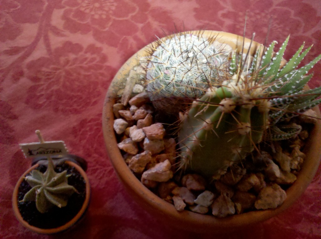
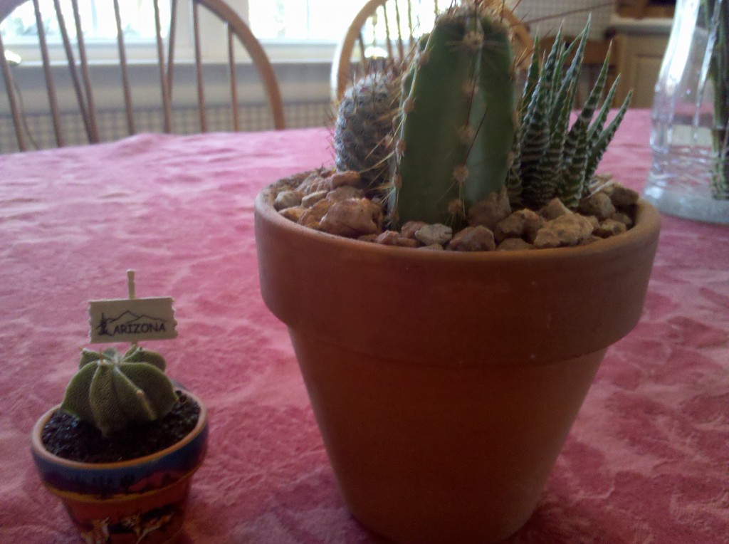
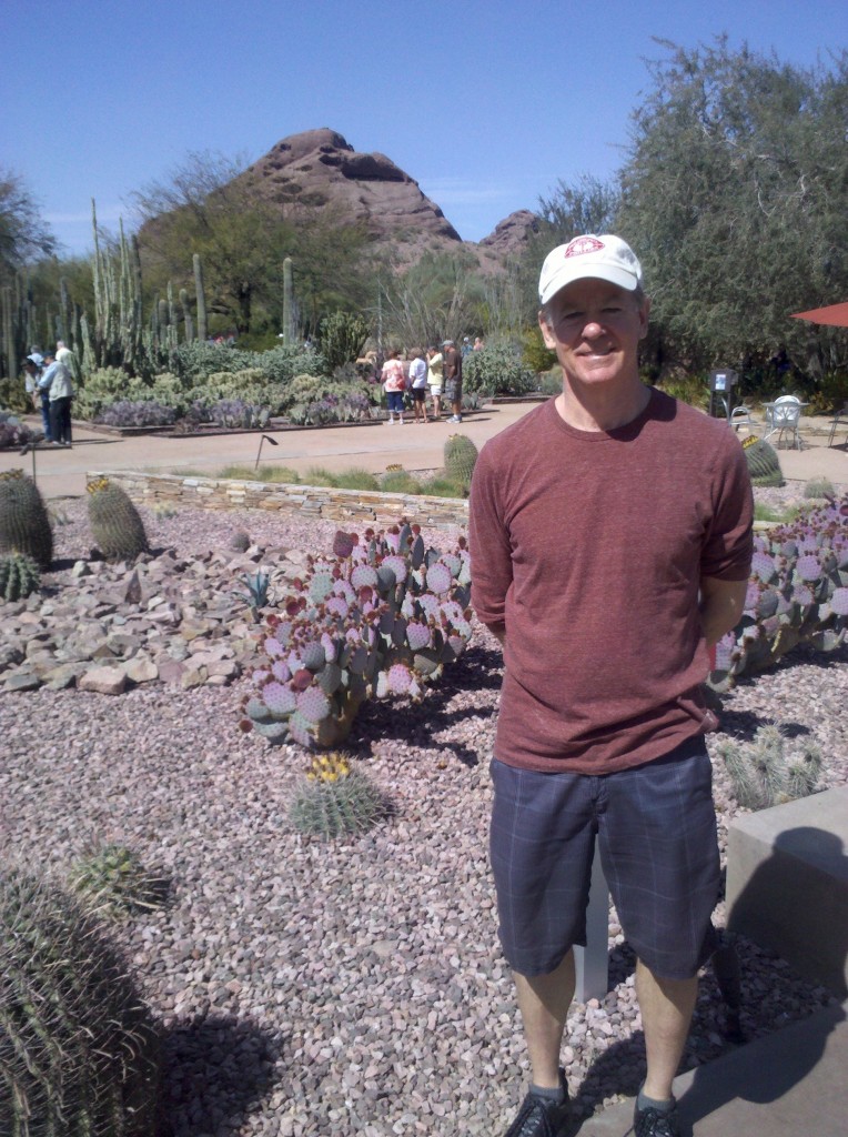
You (okay, maybe it’s just me) can never have enough cactus plants – check out these ones I picked up at the Desert Botanical Gardens on our last day in Phoenix!  Aren’t they cute!

4 new cacti to add to my collection at work!

Another view of my brand new cactus plants!

My daughter Beth has a tremendous and extremely dry sense of humor!  Tim, Mark and I know that if anyone was following along on our blogs, it was Beth’s that everyone was really looking forward to!  What a treat it was to have her along on this trip!

People all over are, for the most part, really nice!  One of the things I really enjoyed doing was talking to people, especially on our rest stops!  Most of the people driving on the highway (the truckers in particular) were very courteous.  A few were not, but you’ll always have people like that.

It’s been 40+ years since I spent a full, continuous week with Mark and Tim.  It was great fun and it was everything I could hope for and more! Mark is as funny as he ever was, and Tim is still in love with family, the one he grew up with and the one he heads up now.

If you’re sharing a room with someone, try not to sleep on your back (I believe it promotes snoring) and if you must eat a Mexican dinner, don’t overdose on the brown beans! I’ll let you guess the reason! 🙂

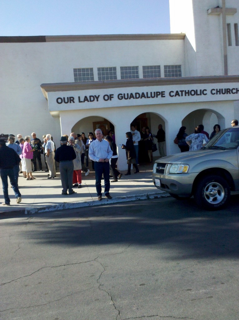
I enjoy going to a local church if I am away from home over the weekend.  When Tim and I went to Mass at Our Lady of Guadalupe in El Centro, CA to pray for Mark’s soul (just kidding, Mark!), there was an extended family in front of us, which included a Mom and Dad, their two small daughters, and the Mom’s parents.  The two girls spent the entire Mass crawling all over their grandparents and whispering (OK, not really whispering) to them, and it was simultaneously entertaining and distracting, not that I minded a bit!  At the Kiss of Peace, the Mom apologized to Tim and I for “all the commotion.”  I wanted to tell her how much I enjoyed it, but thought that might be inappropriate.  And I wanted to tell her parents how lucky I felt they were.  It was a really nice Mass and we even sang a few of the hymns we knew.  At the end of the Mass, the priest told us that his granddaughter had taken first prize for her pet bunnies at the county fair.  Everyone laughed and applauded, but Tim and I were puzzled.  Either we had attended Mass at one of the rogue parishes that allow married Catholic priests, or that the priest had been married, his wife had died, and then he entered the priesthood.  The latter seemed to make more sense to me, because his sermon (on the Transfiguration of Christ and how we can all change too!) was extremely humorous and down-to-earth.  That, the family in front of us, and his comments at the end of the Mass about his granddaughter may be the only things I ever remember about this Mass.  Here is a photo of Tim in front of the church just after Mass was over.

Tim outside Our Lady of Guadalupe Church in El Centro, CA on 3/4/2012

I need to drink more on these bike trips – I am still slightly dehydrated from our ride across the CA and AZ deserts.

Even though we were burning off thousands of calories during our ride, it is still possible to gain weight on a trip like this!  I somehow managed to put on 5 pounds! Too much beer and snacks once we reached our hotel? Who cares ….

Blogging every night helped all our loved ones stay connected to us – it was a great idea (Mark and Beth take the credit here) and I’m glad we did it, even though it sorta felt like homework at the end of the day.

And finally, I can’t believe how bad I can look in photos! I think if I had the power of approving whether or not photos of me would appear in these blogs, you might not have seen me at all.  But in truth it doesn’t really matter.  Plus you’ll get a whole year off from having to look at pictures of me in bike clothes!  Lucky you! 🙂
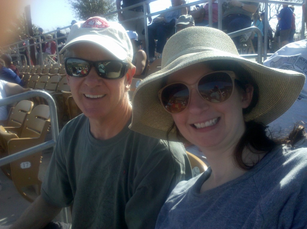
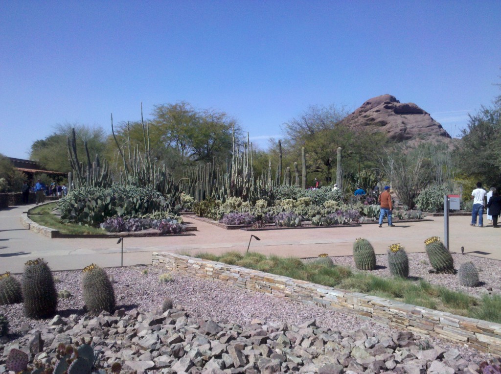
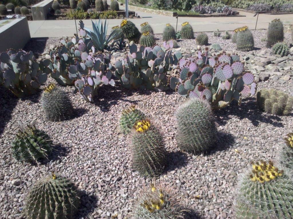
Spiny barrel cactus and prickly pear cactus gardens at Desert Botanical Gardens, Phoenix, AZ

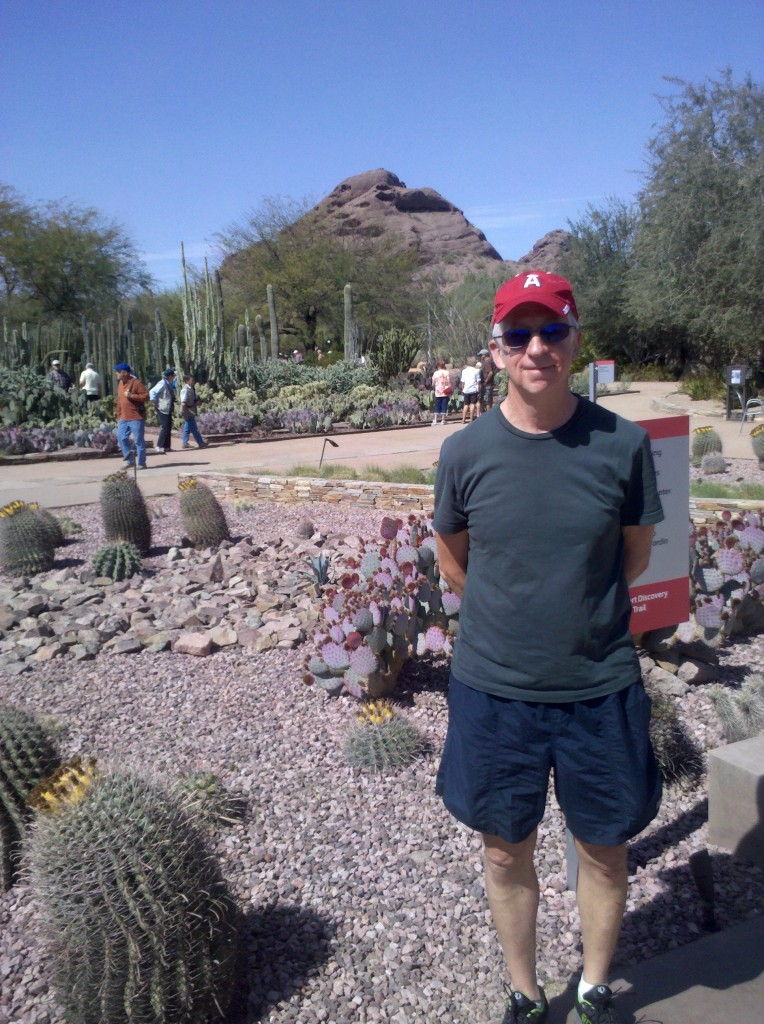
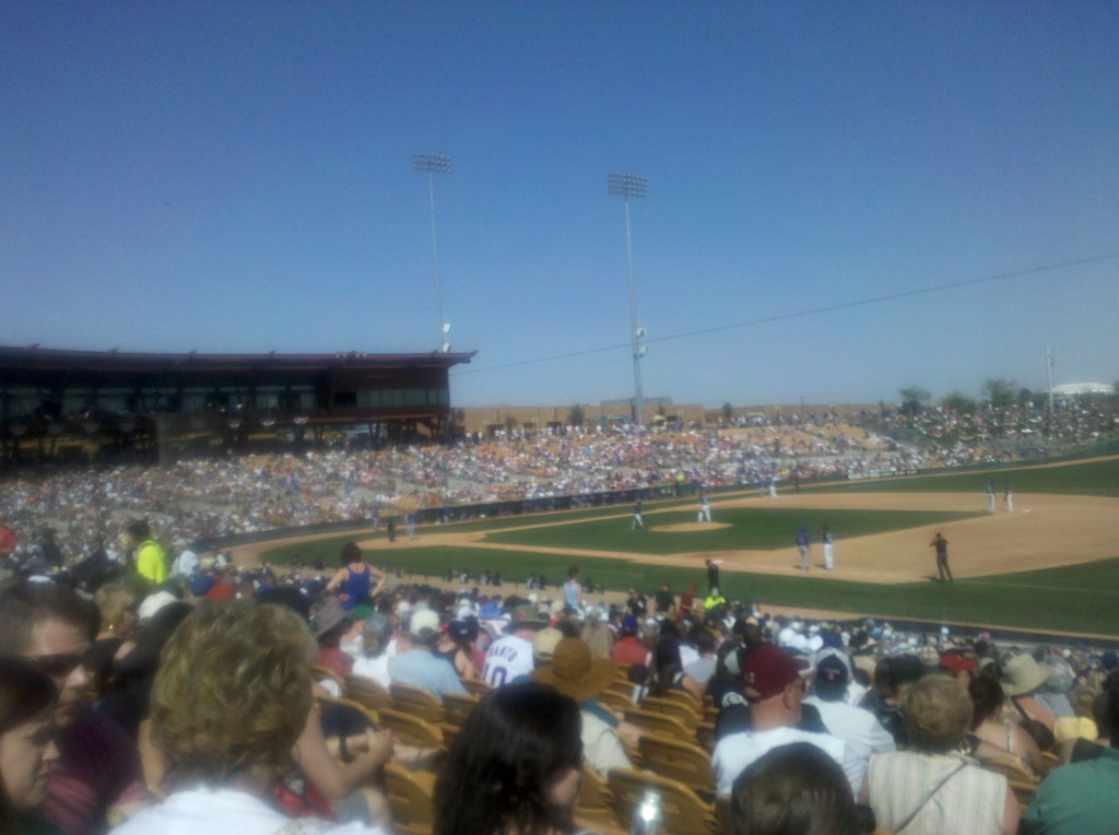
We did no riding today, Friday March 9, and for the most part spent the day doing fun things.  In the morning, Mark did a short but steep climb of a butte near the campus of Arizona State University,  Beth had a conference call and worked afterward, and I did some Franklin Institute Committee on Science and the Mechanical Arts work in preparation for our March meeting next week.  But after that, Mark and I took a ride out to the Desert Botanical Gardens in Phoenix (would you believe this is one of my favorite places in the world?  didn’t think so …) and then all Beth, Mark and I all went to Glendale, AZ to see a spring training game between the Cubs and the White Sox.  It was fun – we did a lot of talking about all sorts of things, but mostly about music and baseball – how’s that for a combination?  I think it started every time a White Sox player came up to bat and the PA system would play his theme song.  I don’t think I’ve ever paid less attention to a major league baseball game while still having a great time!

Here are the rest of today’s pictures for your visual pleasure! 🙂

Barrel cactus and prickly pear cactus at Desert Botanical Gardens, Phoenix, AZ

Mark in front of prickly pear cactus at Desert Botanical Gardens, Phoenix, AZ

Brian in front of prickly pear cactus at Desert Botanical Gardens, Phoenix, AZ

Just last April 2011, Beth and I came to Phoenix to see the Phillies play the Diamondbacks and, while in Phoenix, we spent most of a day at the Desert Botanical Gardens.  We both enjoyed it and I was (believe it or not) really itching to go back.  Fortunately Mark and I had time for a short visit and it was enjoyable again.  In case you are ever in Phoenix, I recommend you pay this place a visit.  You can check it out in advance by visiting their website: http://www.dbg.org/

View from the stands at CWS spring training game against Chicago Cubs in Glendale, AZ

Mark and Beth at Cubs vs CWS spring training game in Glendale, AZ

We spent almost as much time trying to get out of the parking lot as we did sitting in the stands of the game, but finally made it back to our hotel.  After taking a shower to wash of the sunscreen, we met up in the lobby and walked to our last dinner together in downtown Tempe.  We all had pizza and beer for dinner (sorry, not photos of our meal), sitting on a couch outside in the cool night air.

Early tomorrow morning it’s off the Phoenix Sky Harbor International Airport for our flights home!


After a less than perfect night’s sleep, Tim, Mark, Beth and I all met up for breakfast at 7:30am at a Cafe across the street (US 60) from our motel, the Wickenburg Best Western.  Our breakfasts were good and the coffee was really good, both of which helped make up for the less than impressive motel.  By 9:00am we were on the road on our way to Phoenix and Tempe.  Tim swears he heard a rooster crowing this morning (something we have heard each and every day on our ride), but neither Mark nor I actually heard it.  I hope Tim is right and than there was a rooster, if nothing else for the consistency of this daily occurrence.  The scenery today was much more interesting than yesterday.  US 60 East was 4 lanes from Wickenburg to Sun City and then mostly 6 lanes after that into Phoenix.  But we left US 60 in Peoria, AZ and got onto dedicated bike paths which were adjacent to a canal system, some of which had water and some of which did not.  The canal bike paths, which included the New River, the Skunk Creek, the Arizona Canal and the Cross-Cut canal, were vehicle free and extremely safe, but almost never marked.  As a result, we were constantly checking Google Maps’ biking directions to our hotel, just to make sure we hadn’t made a wrong turn.  It took us about 7 hours to bike 70 miles and for the most part the ride was not difficult.  The most time consuming part of today’s journey was all of the stops we made, either examining maps or updating the Google Maps, to find out way.  Here are some of the photos of today’s seventh and final ride of our first cross country leg from San ?Diego to Phoenix:

Sullivan Street sign and Mark on outskirts of Wickenburg, AZ

Tim, Mark and Teddy Bear cholla cactus on Morristown Overlook along US 60

Barrel cactus and sagaura cactus from Morristown Overlook along US 60

Tim at a rest stop at Wittman, AZ along US 60

View of Wittman, AZ and mountains along US 60

New River Trail System Map in Peoria, AZ

Dry bed of New River Trail in Peoria, AZ

Picture of New River Trail in Peoria, AZ

Mark eating a Snickers bar along New River Trail in Peoria, AZ


View of the Arizona Canal in Peroria, AZ

Tim at a rest stop along Arizona Canal in Peoria, AZ

Tim and Kathryn Tolford along the Arizona Canal in Phoenix, AZ

Mark between two prickly pear cactus plants along Arizona Canal in Peoria, AZ

Prickly pear cactus and palm trees outside Wrigley Mansion in Phoeniz, AZ

When we were about 10 miles from our hotel in Tempe, AZ, we came across the Wrigley Mansion, not too far from the Biltmore Estates in Phoenix, near its border with Scottsdale.  While there, we met up with four casual bikers, out for a short day’s ride.  It turns out these folks were full-time RVer’s who winter in Phoenix, summer in the mountains of Northern California, and who are officially citizens of South Dakota, even though they never reside or even visit South Dakota.  They pay no taxes in South Dakota, which apparently wants their citizenship to enable them to have an opportunity for greater representation in Congress.  Here is a photo of these very pleasant folks:

RV bikers outside Wrigley Mansion in Phoenix, AZ

After saying our goodbyes to the “South Dakotans” and to Tim and Kathyrn Tolford (who had ridden with us along the Arizona Canal for 8-10 miles, we headed to Tempe and to our hotel.

Prickly pear cactus in planter outside Tempe Courtyard Hotel

Once there I called Beth to determine her location and our room arrangements and, as she has this whole trip, Beth had several cold beers on ice waiting for us.

Mark, Brian and Tim enjoying a cold one after final ride to Tempe, AZ

After a few bottles each, except for Tim who is not into beer too much these days – he only had one so there’s more for Mark and me – we showered and dressed and went to dinner in downtown Tempe.  We talked about our high points, low points, and the songs that went through our heads during the entire trip.  Maybe I’ll have something to say about that in my last post for this leg!

The day started with a breakfast of oatmeal, toasted bagels, and coffee in the kitchen of the Westward Motel in Salome, AZ.   Then we packed up our bags, but them in the “great white,” our nickname for the Dodge minivan, applied sunscreen, took some Advil, and started off, finally getting on the road at about 9:00 am.  Today’s ride was one of our quickest, aided by a strong mostly westerly wind that helped us complete the 55 mile ride in about 3.5 hours, even with 4 short breaks along the way.   Our breaks were all pretty short, because once off the bike and not pedaling, it got cold in a hurry!  We stayed on U.S. 60 the entire ride and, probably for the first time in the trip, the scenery was somewhat monotonous and not overly pretty.  Nevertheless, we still took pictures and the ones I took during the ride are all below.

My bike, Mark and Tim on our first break outside Salome, AZ

Mark on a break along US 60 outside Salome, AZ

Tim on a break along US 60 outside Salome, AZ

A lonely saguara along side US 60 outside Salome, AZ

Harvested field and mountains along US 60 outside Aguila, AZ

Mark eating a Hershey bar along US 60 outside Aguila, AZ

Spiny barrel cactus along US 60 outside Wickenburg, AZ

Teddy bear cholla cactus along US 60 outside Wickenburg, AZ

Tim at Wickenburg Massacre historical marker just inside Wickenburg, AZ

After getting to our lodging for the night, the Best Western in Wickenburg, AZ, we all took showers to wash off the road dirt, and then all four of us had lunch at Nana’s, which was an easy walk from our rooms.  Beth, having already seen the town’s museum, opted to go back to the room to work.  Tim, Mark and I then visited the Desert Caballeros Western Museum in Wickenburg, a short walk from Nana’s restaurant.  Here are a few pictures I took inside this small but very nice museum:

Recreation of hotel, store and church in Desert Caballeros Western Museum, Wickenburg, AZ

Recreation of general store in Desert Caballeros Western Museum, Wockenburg, AZ

Photo of Annie Oakley in Desert Caballeros Western Museum in Wickenburg, AZ - sorry about the flash!

While I was at the museum, I purchased a short book entitled “Cacti of the Desert Southwest,” by Meg Quinn, which was where I found the names for the Teddy bear cholla and the spiny barrel cactus.  After our visit to the museum, it was back to our rooms for some relaxation before going out to dinner.

Tomorrow we make our last ride of this first leg of our cross-country bike tour.  We travel about 70 miles to Tempe, AZ.  Some of it will be along U.S. 60 and a good deal of it will be on a dedicated bike path, which should make for a safe final ride!

We started out in Blythe, CA at around 7:00 am, fully expecting another day of headwinds and climbing.  The climbing part was accurate – we climbed more that 1500 feet.  But fortunately the headwinds part was not – we finally had a strong and beneficial tailwind.  What a difference that makes!

We crossed into Arizona fairly early and went onto I-10 heading east shortly after getting into Arizona.  Here are some of the pictures we took early this morning.

Crossing the Colorado River around 7:30 am

Tim and Mark on CA side of Coloroda River

After about 5 miles on I-10 East, we took our first break of the day, a rest stop right on I-10 East.

Mark at rest stop on I-10 just indide AZ

Brian at rest stop on I-10 just inside AZ

Tim in front of Verde tree at rest stop on I-10 just inside AZ

We stayed on I-10 East for another 25 miles or so, but while on I-10 East we made our way into the Sonora Desert and came across our first Sagaura,  the giant cactus that have arms coming out from the sides.  Here are some pictures of then, from when we first came saw them and stopped to take some photos:

Mark at our first saguara in Sonora Desert on I-10 - they're on the hill off in the distance

Tim in front of saguras in Sonora Desert on I-10 - here also the sagauras are on the hill in the background

Our next stop was in Quartsite, AZ, where we stopped at a Subway and purchased an early lunch.  While there we came across Tim and Katherine Tolford, from Portand, ME.  We first saw them in San Diego and they are also taking the Southern Tier bike route, making their way to Houston, TX and taking about 3.5 weeks to do that ride.

Tim and Katherine Tolford at Subway in Quartsite, AZ

After Quartzsite, AZ we stayed on I-10 East for another 10 miles or so, exiting onto U.S. 60 East, a pre-interstate federal highway.  The road surface was good and we continued to make good progress.  Along U.S. 60 and also in Quartzsite, AZ, we noticed big Recreational Vehicle camps with lots of American and Canadian flags around the camps.  We determined that these were for “snow birds” from the U.S. and Canada, spending the winter months in the moderate-to-warm weather of Arizona.  They looked nice, but I’m not sure I’d be interested in that.

RV resort along US 60 in AZ

Tim in front of RV resort in AZ

We stayed on U.S. 60 East the rest of the ride to Salome, AZ.  After the RV camp, we had another 25 miles or so, but the wind was at our backs and the ride was relatively easy.  We took one more rest stop just short of Hope, AZ and took some more photos there:

Tim eating an orange at rest stop on US 60 near Hope AZ

Mark and Tim at rest stop on US 60 near Hope AZ

Mark calling Randy Walters, proprietor of Westward Motel, Samome AZ

Central Arizona Canal Project near Hope, AZ

Then after passing through Hope, AZ, we came across a sign confirming that, indeed, we had passed through Hope, AZ.  The funny thing is that none of us (Mark, Tim or me) realized the lack of a proof reader for the sign until we started looking at pictures as we were preparing dinner.

Your Now Beyond Hope sign - where is an editor when you need her/him?

Saguara next to "Your Now Beyond Hope" sign

Salome, AZ was only another 6 miles or so “beyond Hope,” and although it involved one more climb, we were close enough and the wind was still at our backs, that it was relatively effortless.  After getting into Salome, we found the Westward Motel, a really nice and eclectic motel where we had a reservation.  This place is a true gem!

Westward Motel sign in Salome AZ

Agave and other Sonoroa desert plants at Westward Motel

Giant Saguara at Westward Motel in Salome AZ

Most of the days on this ride, Beth has reached our destination ahead of us and has visited a grocery store and purchased cold brewski’s and snacks, and has had them waiting for us on our arrival.  How lucky have we been to have had her on this trip?  I will treasure this experience of having her along with us forever! Fortunately, today we managed to get to our destination first and we were able to return the favor!

Tim and Mark relaxing at Westward Motel in Salome AZ

Beth relaxing at Westward Motel in Salome AZ

Tomorrow is supposed to be another day with westerly winds, just like today.  You’ll have to take my word that these flags are blowing toward the west.

Flags showing westerly direction (finally!) of winds in Salome AZ

The bottom flag is the state flag of Arizona.  With any luck, and hoping that the Weather Channel is correct, our ride tomorrow to Wickenburg, AZ will be as manageable  as today’s ride!