Archives

All posts by Brian

The day started with a breakfast of oatmeal, toasted bagels, and coffee in the kitchen of the Westward Motel in Salome, AZ.   Then we packed up our bags, but them in the “great white,” our nickname for the Dodge minivan, applied sunscreen, took some Advil, and started off, finally getting on the road at about 9:00 am.  Today’s ride was one of our quickest, aided by a strong mostly westerly wind that helped us complete the 55 mile ride in about 3.5 hours, even with 4 short breaks along the way.   Our breaks were all pretty short, because once off the bike and not pedaling, it got cold in a hurry!  We stayed on U.S. 60 the entire ride and, probably for the first time in the trip, the scenery was somewhat monotonous and not overly pretty.  Nevertheless, we still took pictures and the ones I took during the ride are all below.
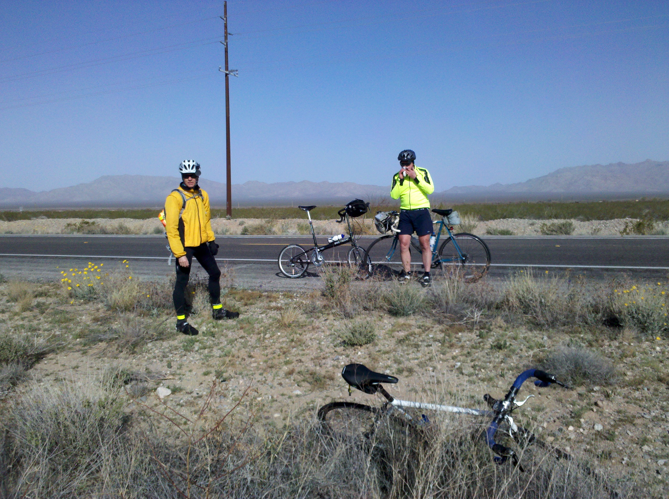
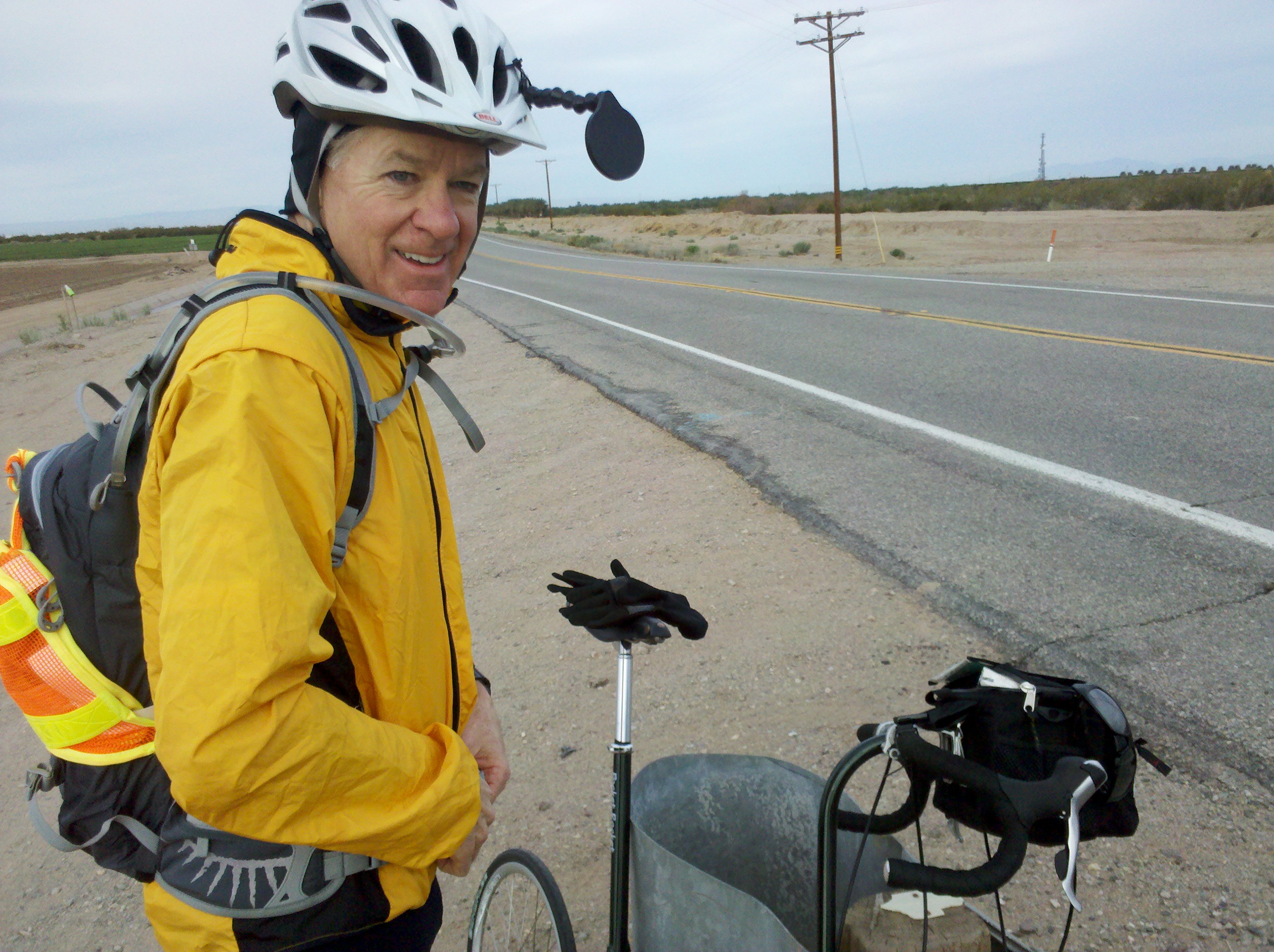
My bike, Mark and Tim on our first break outside Salome, AZ

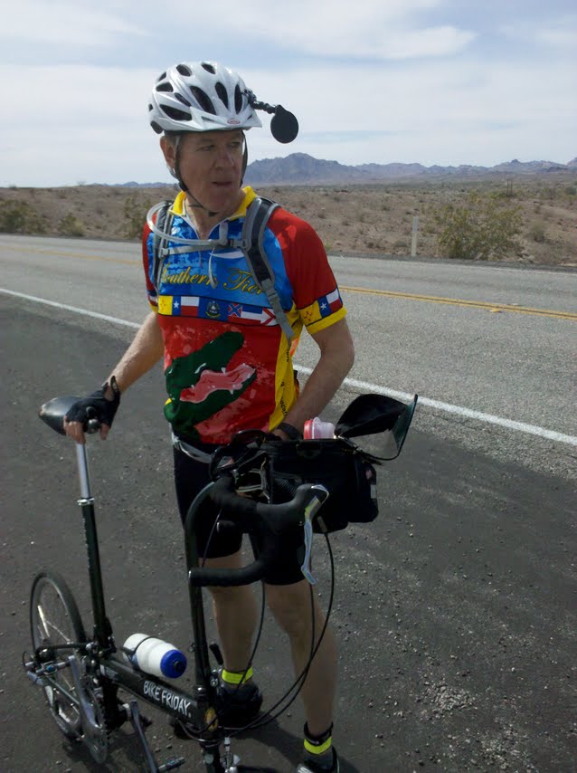
Mark on a break along US 60 outside Salome, AZ

Tim on a break along US 60 outside Salome, AZ

A lonely saguara along side US 60 outside Salome, AZ

Harvested field and mountains along US 60 outside Aguila, AZ

Mark eating a Hershey bar along US 60 outside Aguila, AZ

Spiny barrel cactus along US 60 outside Wickenburg, AZ

Teddy bear cholla cactus along US 60 outside Wickenburg, AZ

Tim at Wickenburg Massacre historical marker just inside Wickenburg, AZ

After getting to our lodging for the night, the Best Western in Wickenburg, AZ, we all took showers to wash off the road dirt, and then all four of us had lunch at Nana’s, which was an easy walk from our rooms.  Beth, having already seen the town’s museum, opted to go back to the room to work.  Tim, Mark and I then visited the Desert Caballeros Western Museum in Wickenburg, a short walk from Nana’s restaurant.  Here are a few pictures I took inside this small but very nice museum:
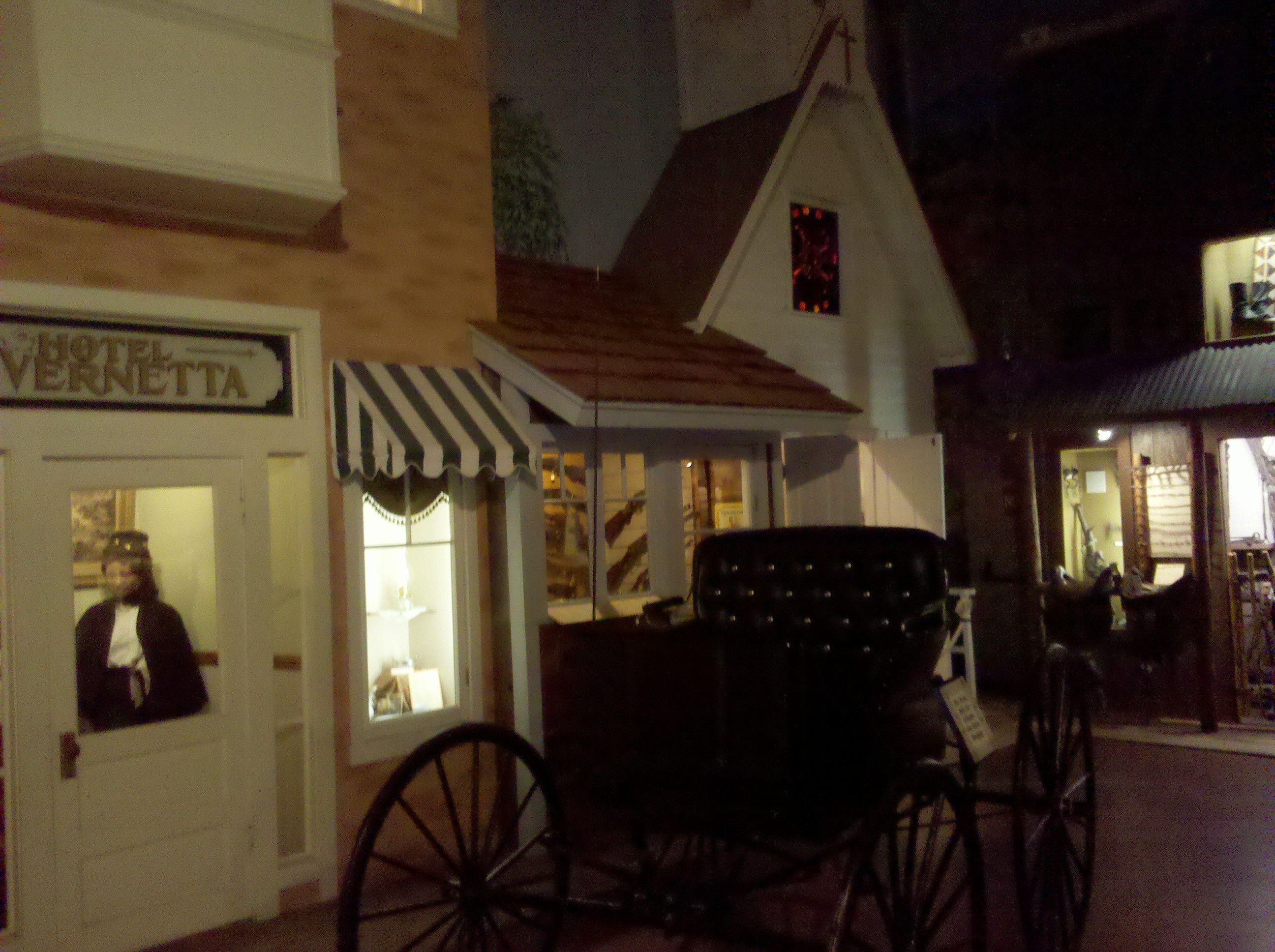
Recreation of hotel, store and church in Desert Caballeros Western Museum, Wickenburg, AZ

Recreation of general store in Desert Caballeros Western Museum, Wockenburg, AZ

Photo of Annie Oakley in Desert Caballeros Western Museum in Wickenburg, AZ - sorry about the flash!

While I was at the museum, I purchased a short book entitled “Cacti of the Desert Southwest,” by Meg Quinn, which was where I found the names for the Teddy bear cholla and the spiny barrel cactus.  After our visit to the museum, it was back to our rooms for some relaxation before going out to dinner.

Tomorrow we make our last ride of this first leg of our cross-country bike tour.  We travel about 70 miles to Tempe, AZ.  Some of it will be along U.S. 60 and a good deal of it will be on a dedicated bike path, which should make for a safe final ride!

We started out in Blythe, CA at around 7:00 am, fully expecting another day of headwinds and climbing.  The climbing part was accurate – we climbed more that 1500 feet.  But fortunately the headwinds part was not – we finally had a strong and beneficial tailwind.  What a difference that makes!

We crossed into Arizona fairly early and went onto I-10 heading east shortly after getting into Arizona.  Here are some of the pictures we took early this morning.

Crossing the Colorado River around 7:30 am

Tim and Mark on CA side of Coloroda River

After about 5 miles on I-10 East, we took our first break of the day, a rest stop right on I-10 East.

Mark at rest stop on I-10 just indide AZ

Brian at rest stop on I-10 just inside AZ

Tim in front of Verde tree at rest stop on I-10 just inside AZ

We stayed on I-10 East for another 25 miles or so, but while on I-10 East we made our way into the Sonora Desert and came across our first Sagaura,  the giant cactus that have arms coming out from the sides.  Here are some pictures of then, from when we first came saw them and stopped to take some photos:

Mark at our first saguara in Sonora Desert on I-10 - they're on the hill off in the distance

Tim in front of saguras in Sonora Desert on I-10 - here also the sagauras are on the hill in the background

Our next stop was in Quartsite, AZ, where we stopped at a Subway and purchased an early lunch.  While there we came across Tim and Katherine Tolford, from Portand, ME.  We first saw them in San Diego and they are also taking the Southern Tier bike route, making their way to Houston, TX and taking about 3.5 weeks to do that ride.

Tim and Katherine Tolford at Subway in Quartsite, AZ

After Quartzsite, AZ we stayed on I-10 East for another 10 miles or so, exiting onto U.S. 60 East, a pre-interstate federal highway.  The road surface was good and we continued to make good progress.  Along U.S. 60 and also in Quartzsite, AZ, we noticed big Recreational Vehicle camps with lots of American and Canadian flags around the camps.  We determined that these were for “snow birds” from the U.S. and Canada, spending the winter months in the moderate-to-warm weather of Arizona.  They looked nice, but I’m not sure I’d be interested in that.

RV resort along US 60 in AZ

Tim in front of RV resort in AZ

We stayed on U.S. 60 East the rest of the ride to Salome, AZ.  After the RV camp, we had another 25 miles or so, but the wind was at our backs and the ride was relatively easy.  We took one more rest stop just short of Hope, AZ and took some more photos there:

Tim eating an orange at rest stop on US 60 near Hope AZ

Mark and Tim at rest stop on US 60 near Hope AZ

Mark calling Randy Walters, proprietor of Westward Motel, Samome AZ

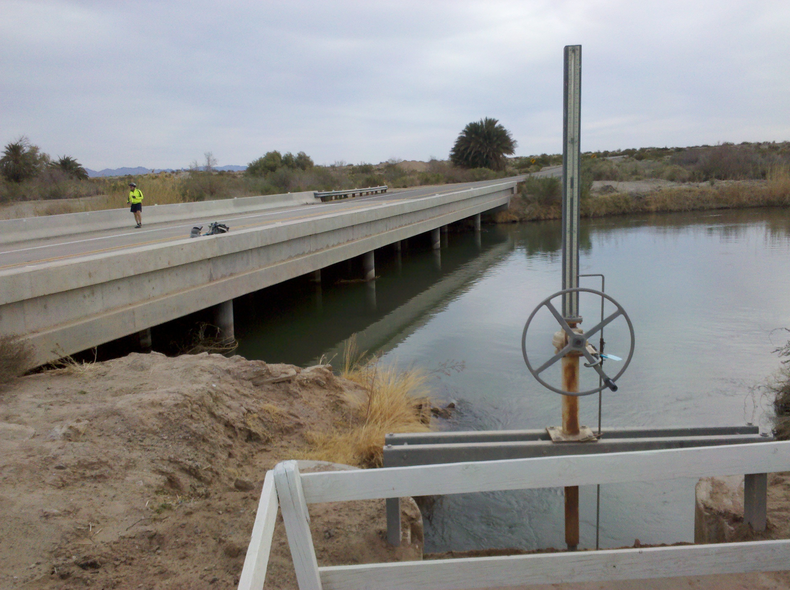
Central Arizona Canal Project near Hope, AZ

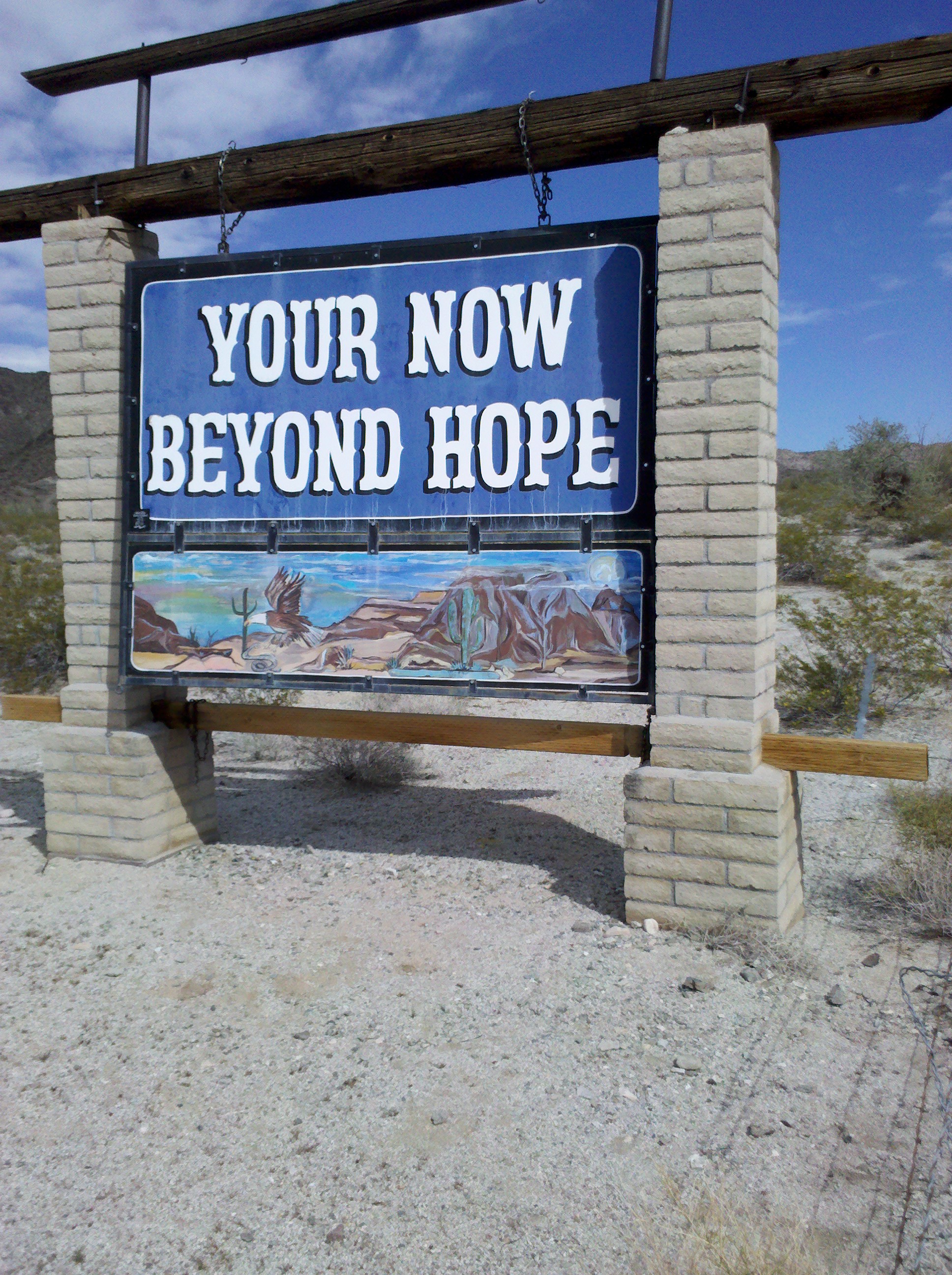
Then after passing through Hope, AZ, we came across a sign confirming that, indeed, we had passed through Hope, AZ.  The funny thing is that none of us (Mark, Tim or me) realized the lack of a proof reader for the sign until we started looking at pictures as we were preparing dinner.

Your Now Beyond Hope sign - where is an editor when you need her/him?

Saguara next to "Your Now Beyond Hope" sign

Salome, AZ was only another 6 miles or so “beyond Hope,” and although it involved one more climb, we were close enough and the wind was still at our backs, that it was relatively effortless.  After getting into Salome, we found the Westward Motel, a really nice and eclectic motel where we had a reservation.  This place is a true gem!

Westward Motel sign in Salome AZ

Agave and other Sonoroa desert plants at Westward Motel

Giant Saguara at Westward Motel in Salome AZ

Most of the days on this ride, Beth has reached our destination ahead of us and has visited a grocery store and purchased cold brewski’s and snacks, and has had them waiting for us on our arrival.  How lucky have we been to have had her on this trip?  I will treasure this experience of having her along with us forever! Fortunately, today we managed to get to our destination first and we were able to return the favor!

Tim and Mark relaxing at Westward Motel in Salome AZ

Beth relaxing at Westward Motel in Salome AZ

Tomorrow is supposed to be another day with westerly winds, just like today.  You’ll have to take my word that these flags are blowing toward the west.

Flags showing westerly direction (finally!) of winds in Salome AZ

The bottom flag is the state flag of Arizona.  With any luck, and hoping that the Weather Channel is correct, our ride tomorrow to Wickenburg, AZ will be as manageable  as today’s ride!


Usually after the end of a day’s ride, I pull out my math books and try to do some of the homework problems for the new course I an teaching this semester at Villanova University.  But tonight I just decided that it was past due for me to blog about our bide ride.  So here is my blog.  My wife Nancy keeps telling me it will be funny, but I’m not so sure.  Maybe to her, it will be.

Mark on 1st break - 5 Mar 2012

Today (5 Mar 2012) we rode ~91 miles from Brawley to Blythe, CA.  We left shortly after 7 am and started heading East along CA 78.  We saw lots of neat scenery (as you’ll see in some of my pictures) and also talked to several interesting people along the way, including Jack Watson from Colorado, and three border patrol agents at a check point along CA 78 between Glanus and Palo Verde, CA.

The ride to Blythe took us about 9 hours.  We climbed about 1000 feet today and really only had the wind in our face when we were climbing hills.  The temperature started out at about 50 degrees in Brawley and before we got to Glanus it was warm enough that we all shed our bright yellow-green  or orange (in Mark’s case) jackets.  It was 87 degrees by the time we made it to Blythe around 4pm.  We did 40 miles to a short distance beyond the Border Patrol check point and by that time I had consumed both my water bottles and eaten all my snacks, when Beth showed up in our trusty sag wagon vehicle with lots of more fluids and food!  Today she literally saved our lives – there’s just not much civilization between Brawley and Blythe.  In all I drank 5 water bottles today and all of us were completely out of fluids by the time we made it to Blythe.

Here are some of the pictures I took today along the ride.

Mark with desert and mountains along CA 78 - 5 Mar 2012

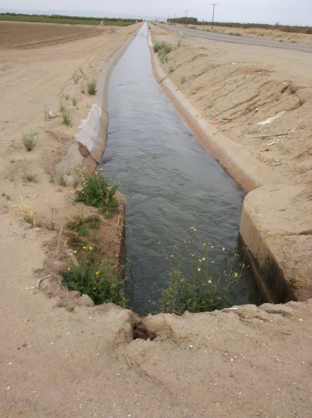
Irrigation canal outside Brawley - 5 Mar 2012

Agriculture is definitely “king” in Imperial County, CA.  There are lots and lots of farms growing greens of all sorts.  And lots and lots of trucks, too!  But there were all extremely courteous, going all the way over to the other side of the road before passing us.

Imperial County Irrigation ditch - 5 Mar 2012

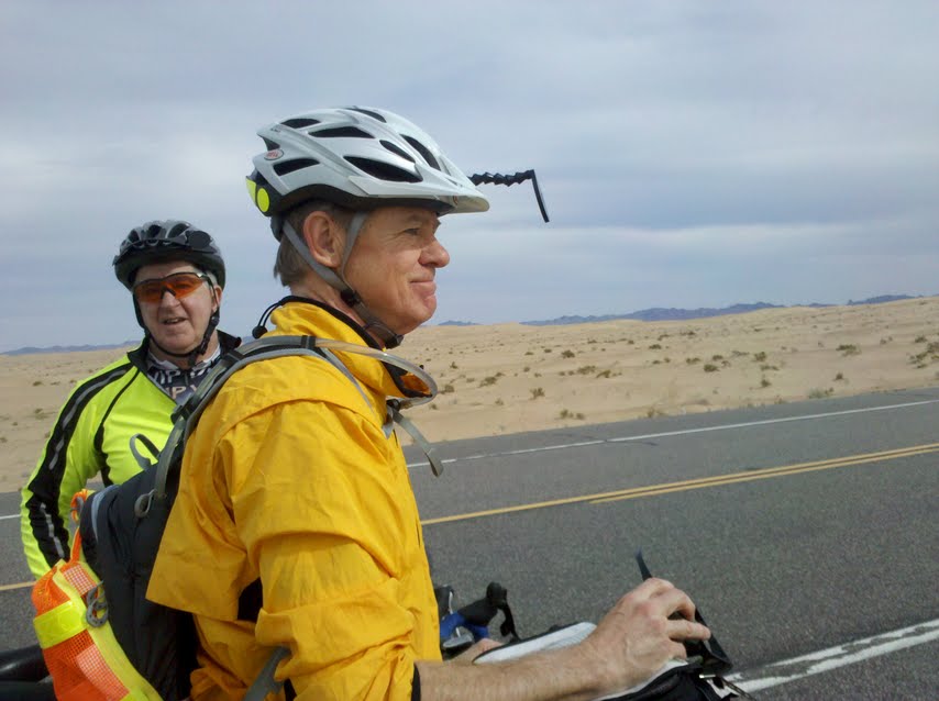
Mark and Tim along CA 78 near Imperial County Dunes - 5 Mar 2012

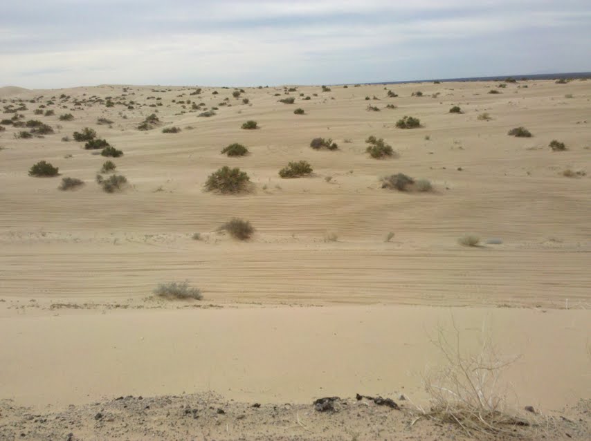
Desert dunes in Imperial County along CA 78 - 5 Mar 2012

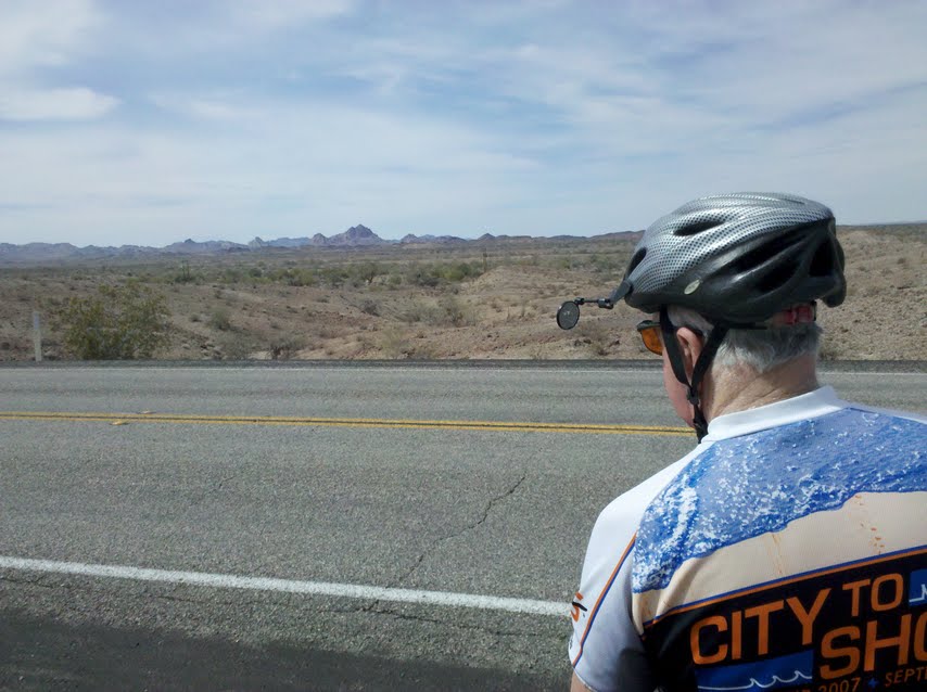
Desert and Mountains in background along CA 78 - 5 Mar 2012

Chocolate Mountains in Imperial County along CA 78 - 5 Mar 2012

Tim after taking care of business with Chocolate Mountains in the background - 5 Mar 2012

Tomorrow we ride close to 70 miles and climb another 1500 feet or so, so it will be another challenging day, one that I expect will take us nearly 7 hours, with all of the breaks we take and given that whenever we climb, there’s bound to be a strong wind in our face.