Archives

All posts by Tim

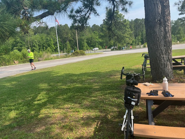
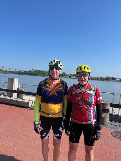
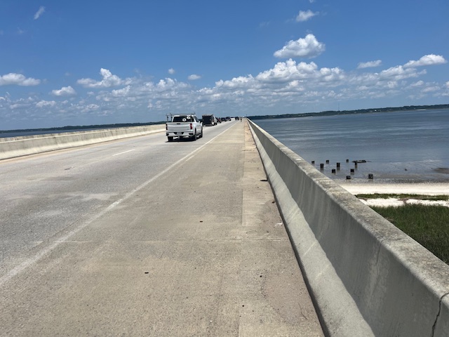
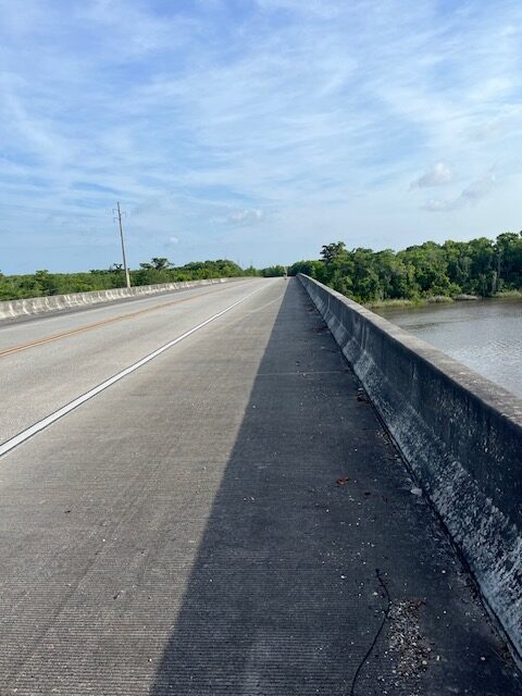
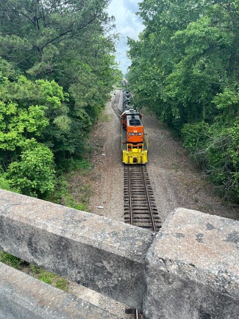
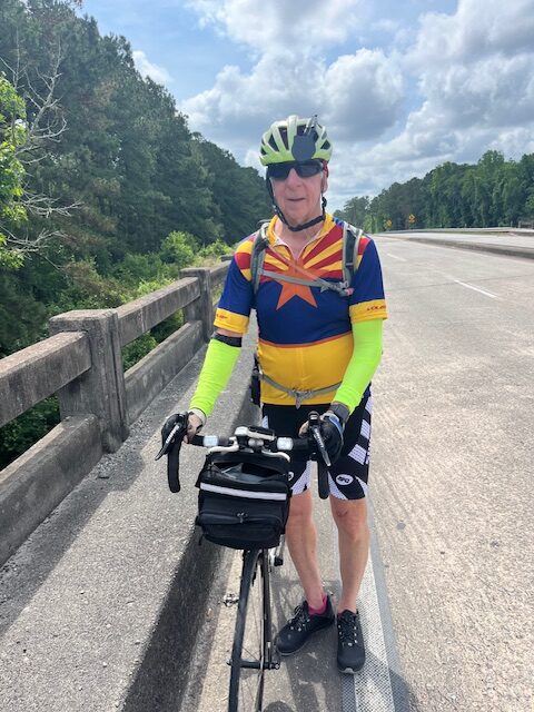
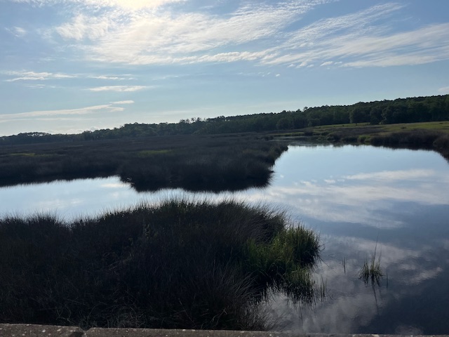
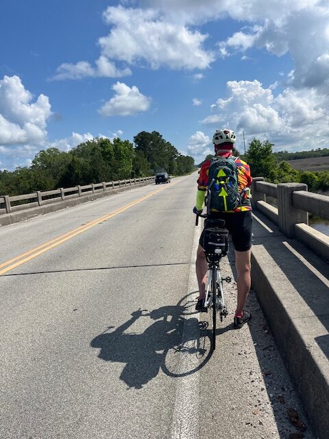
We got an assist from Beth. She drove us around 25 or 30 miles out of Jacksonville and dropped us off. We rode to Bath, North Carolina, a distance of of approximately 58 miles.

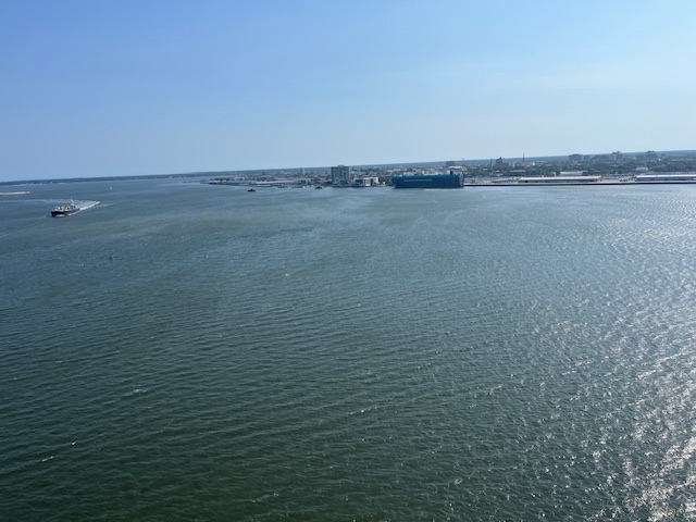
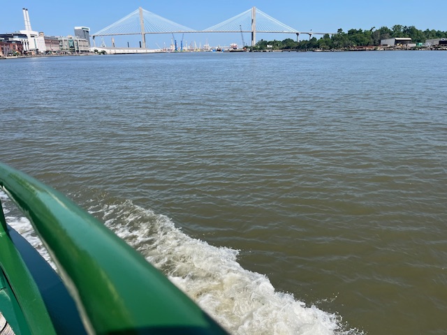
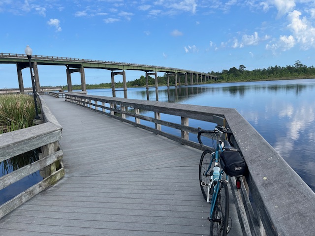
We had a little trouble with Google bike map directions again. We really lucked out because the ferry ride we had to take was leaving in eight minutes when we arrived at the ferry terminal. if we had missed that ferry we would’ve had to wait over two hours for the next ferry.

Bath, North Carolina is a quaint little town the home of Blackbeard the pirate. I have a few pictures to share as part of the block. We plan to take off tomorrow and drive to Elizabeth city because of the rain forecast for most of the day.
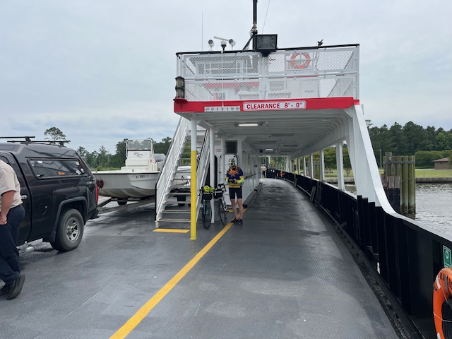
Pics of the ferry

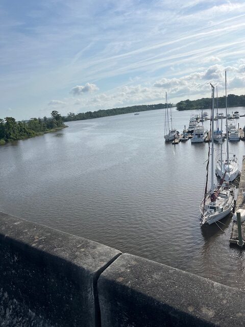
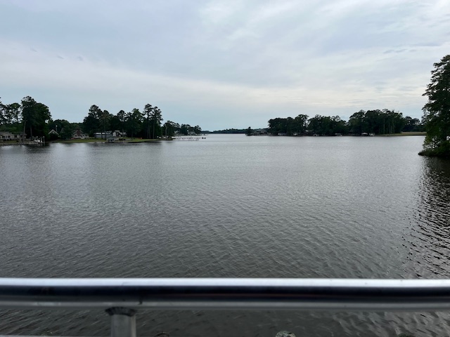
View from my room balcony

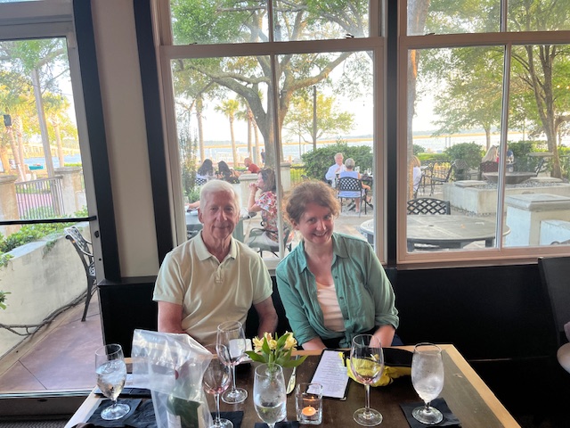
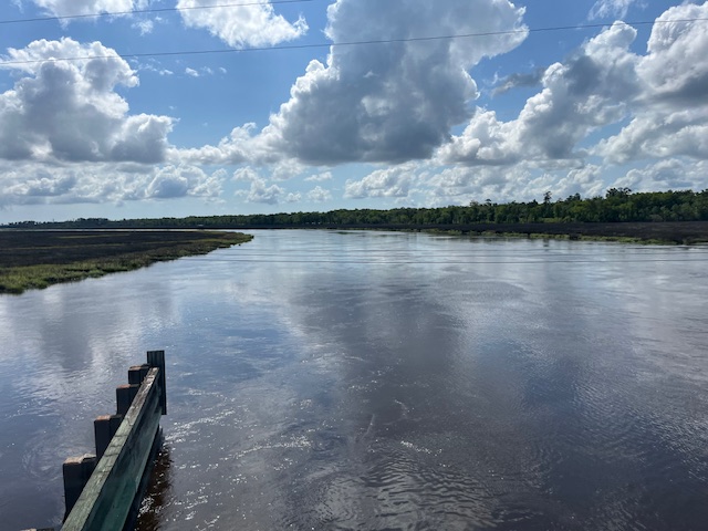
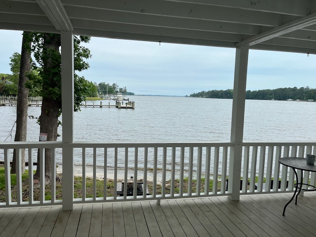
View from our dining spot

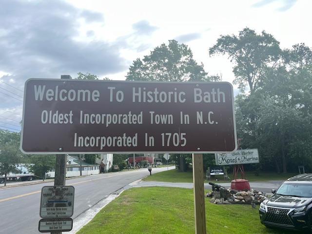
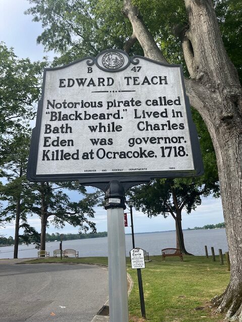
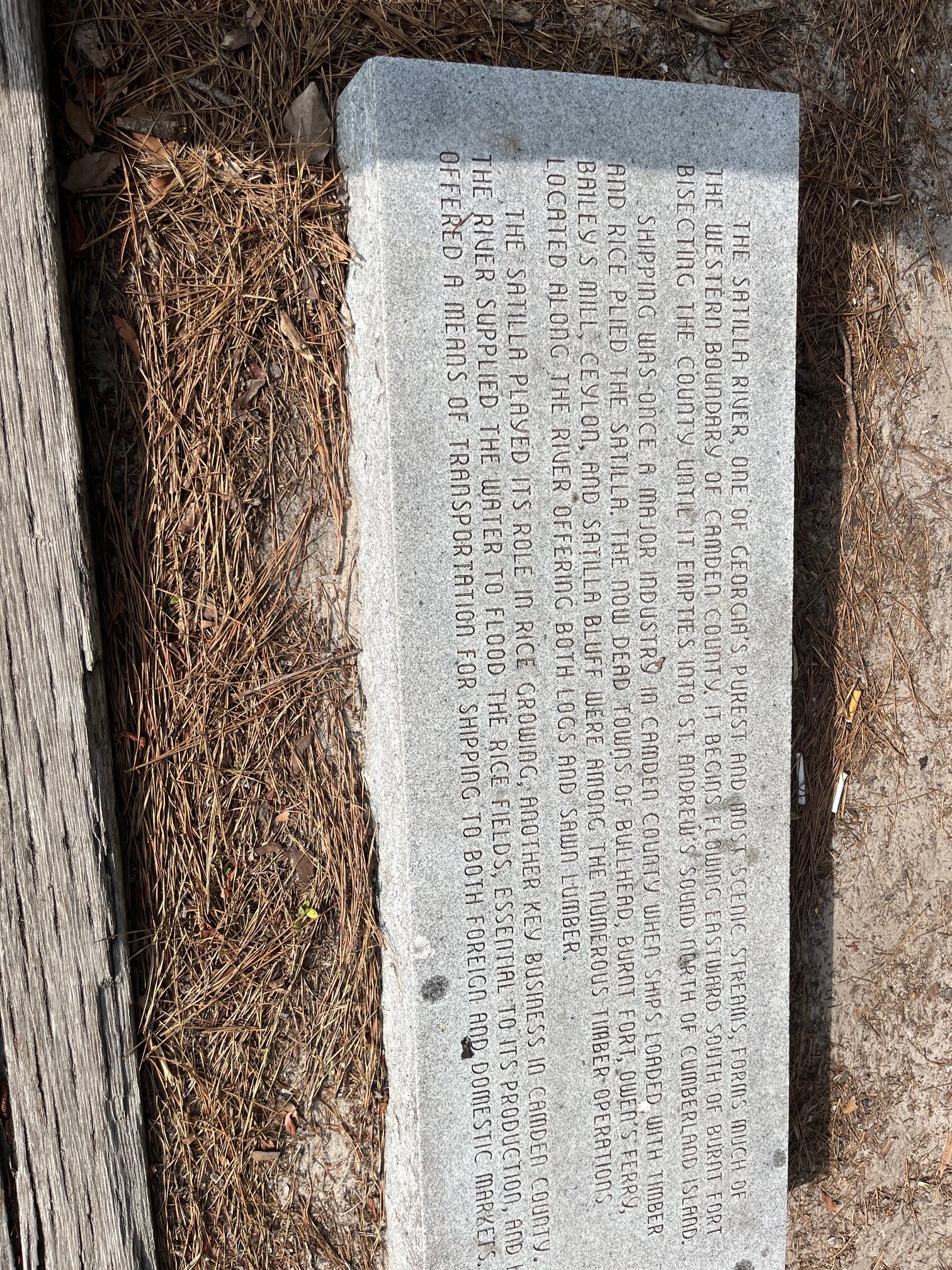
Historical markers from Bath, NC

We decided to take a rest day and take advantage of Beth being with us. We drove from Little River, South Carolina to Wilmington, North Carolina and spend Saturday afternoon walking around the waterfront.

Wilmington, North Carolina was a major shipping point from North Carolina from colonial times to current day. It was a good idea to take a rest day after seven days of biking.

Our ride from Wilmington to Jacksonville was pretty easy even though it was 68 miles. We were on back roads with almost no traffic, so Brian and I were able to ride side-by-side for several hours. It was nice to be able to talk and ride for a change. We have also decided To take advantage of Beth and reduce our mileage on Monday and Tuesday from 85 mile days to 50 or 60 mile days. Only three days left. I’m looking forward to being finished and getting home to Marcia.

Lunch break on a country road

Today’s ride covered almost 65 miles. The vast majority was through South Myrtle Beach Myrtle Beach and North Myrtle Beach. We followed Google bike map directions which put us on bike paths or Ocean Drive
for much of our ride. Myrtle Beach is an interesting place. With the high-rises along the beach it reminded me of Atlantic City and with the honky-tonk areas it reminded me of Wildwood.

After seven days of riding we need a rest day. Tomorrow we’re going to drive to Wilmington, North Carolina instead of riding. Thank God Beth is here. No pics from me today.

This turned out to be a pretty easy day, which was exactly what we needed to recover from yesterday. We spent some time on the bikes before we left and fortunately had no mechanical issues. At the end of our ride it started raining for the first time on the trip. We got wet but not soaked. For some reason the town of Georgetown reminded me of the movie The Notebook. It’s a picturesque little town. I’d love to come back someday.

Our first rest stop of the day

Typical views from the many bridges we crossed

View from my room

This was supposed to be our hardest day and it turned out to be. We had three flats between us, which slowed us down, making a long day even longer. Fortunately we had a tail wind and the weather was sunny and warm but not too hot. A highlight of the day was biking through Charleston and over the bridge on a nice protected bike path Into Mount Pleasant. After a shower we went to Sullivans Island for dinner.

Post office guess where

View of Charleston harbor

Brian on the bridge between Charleston and Mt. Pleasant

Day Four

This day was a challenge. Sometimes we had a great bike lane sometimes, we had almost no lane. It was our longest ride so far, approximately 60 miles, but we felt pretty strong and finished with no problems. Tomorrow is a challenge. It is our longest ride of the trip.

We were in downtown Savannah waiting for the ferry so I was able to take a bunch of pictures that will be part of this blog. Last night we ate in a bar with a pool tournament about to start. I took a picture of the icebox next to me. It had old Smokies moonshine. Tonight we ate in a very nice restaurant in Beaufort, South Carolina looking out over the water. Brian said our bill tonight was about $200 more than last night.

Day Three

Day three so far so good. We have been blessed with a very nice tailwind. Maybe it’s payback karma from our trip from Jacksonville to Key West when we had headwinds every day. I like the payback. We are semi sticking to Google bike maps. Our mileage is a little less than Google bike maps which is a good thing. The roads have been smooth and flat the only elevation changes are the overpasses. For the most part drivers are very courteous. Tomorrow we have to go through Savannah. Cities tend to be challenging with lots of stops and cars and trucks turning. I’m sure it will be a breeze compared to Phoenix. We are now finished three of our 12 days of biking. I feel well rested and in shape to do this ride. Our mileage days are about to ramp up. Here are a few pictures:

Day Two

Day two was pretty easy. We had smooth roads very little Sunday morning traffic and a tailwind. We got to our destination early enough that we could go out to lunch. It would be nice if every day was that easy but I know it won’t be. Here are a few pictures I took of Southeast Georgia

Today was what we call a shakedown ride. We were only going 37 miles so we were able to get up the leisurely breakfast and leave for our bike ride around 10 o’clock. It brought back very pleasant memories of our trip cross country in the sense that Florida roads were the best on that ride. Most of the day we had dedicated bike line lane or a white line with a decent shoulder.

Brian and I have changed over the years. When we took our first ride from San Diego to Phoenix, I was the only one who had any lights at all on our bikes. On this ride, Brian has about six lights on the rear of his bike and two lights on the front. I have three lights on the back and very powerful strobe in the front. I guess when we started out on these rides, we were adventuresome and dumb; now I think we’re older and wiser. We need today’s ride to get the bugs out before the Big bike rides happen later this trip.

One boo-boo on my account: I forgot Adventure Cycling bicycle maps. We are relying on our phones and Google bike maps for navigating. So far so good. Hopefully we have nice tail wins for the rest of our trip. I’m looking forward to passing through some more neat places and towns like Catfish Creek, Georgia and Saint Mary’s, Georgia. That’s all for now.

The last morning send off. The Hawk’s Kaye Inn was quite lavish but the perfect distance from Key West for our last day’s ride. The winds were very strong between 20 and 25 mph but fortunately out of the NE. They were more of a cross wind than a tail wind but definitely helped push us along,
This was our first rest stop today. We had travelled around 20 miles and, more importantly, we had just finished Seven Mile Bridge. It was every bit of seven miles. I was gripping my handlebars with both hands the whole way.
Way off in the distance is Seven Mile Bridge. Brian came close to taking his shoes off and walking into the water. It did look inviting.
I took this picture since it was typical of the dozens of bridges we crossed today between keys. I don’t know why they call all these islands keys.
We wondered for the last two days when the road was built. It is a remarkable engineering feat. I hope you can read this road sign explaining the history of the road, formerly 4A but now called US 1.
Our last rest stop of the day and the trip. The pictures I took for the last two days just don’t show the true aqua color of the water in the keys.
A celebratory beer at the end of the trip. Altogether we biked around 540 miles over 9 days. We saw a spring training game, had dinner with Arlene Sullivan and saw the Truman Little White House here in Key West. We both have a sense of accomplishment for finishing a long ride in good spirits. We stayed in some very lavish places which helped regenerate us for the next day’s ride. Good job to Beth for making the arrangements and to Nancy for good cheer and great sandwiches. Thank you to both for making this possible. Beth says this was her last trip. We’ll see if we can’t change her mind.