We’ve been planning this leg of the Atlantic Coast trip for a while, but Tim and I started getting pretty serious about it in the last month or so.  I had ordered the maps from Adventure Cycling and about a month ago, we sat down and planned out an initial itinerary. But, although the miles per day were manageable, the lodging accommodations were not great and would have required making Airbnb reservations at about half of the towns. So we nixed that and decided to re-do the itinerary by using Google bike maps and staying only at hotels. The plan was to rent a car/van at PHL, load up the bikes, drive to JAX and return the car/van, and then bike to ORF, and again rent a car/van, drive up to PHL, and then go home.

Then Beth, after reviewing the itinerary, decided she needed to help us by driving a SAG vehicle. So Tim and I drove Marcia’s SUV down to JAX today and met up with Beth at the JAX Hampton Inn, after she had flown down to JAX from JFK.  We all went out to dinner tonight and tomorrow morning Tim and I will start biking up to the VA beach area. 

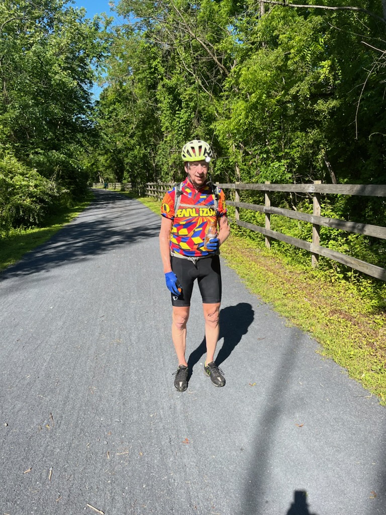
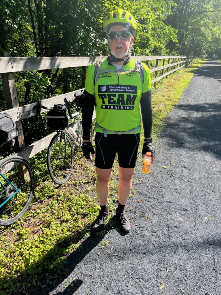
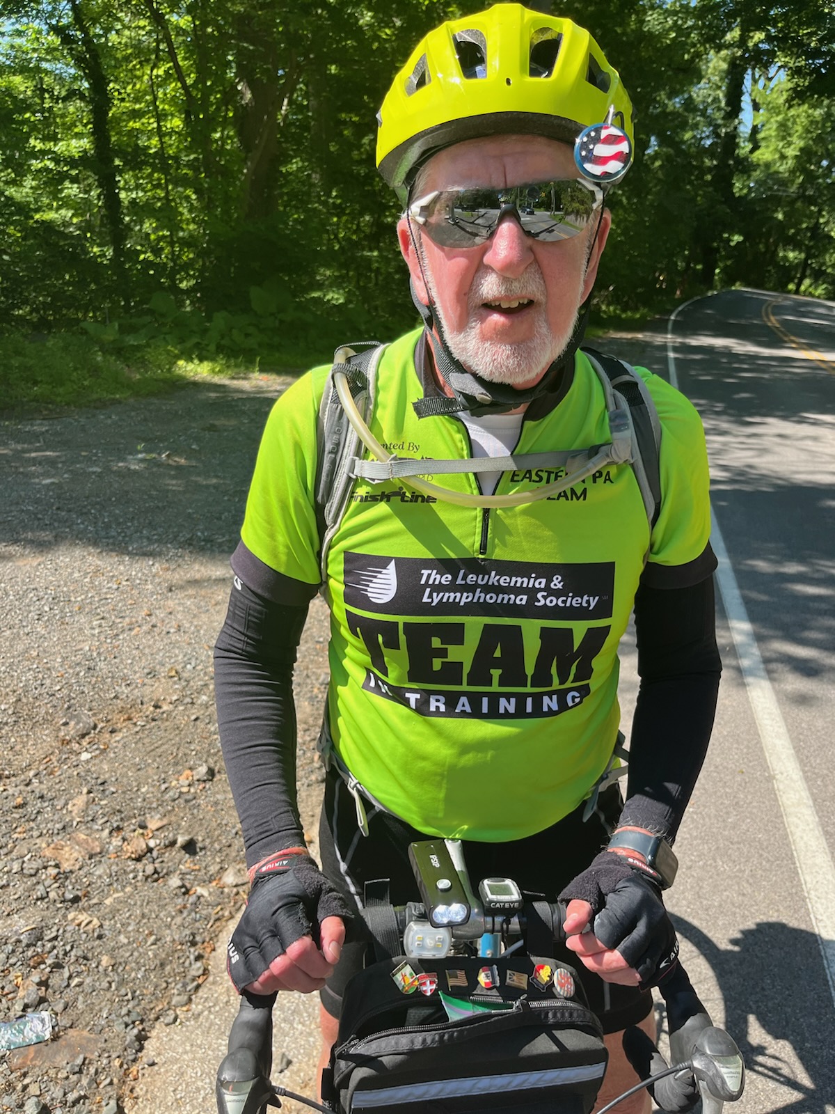
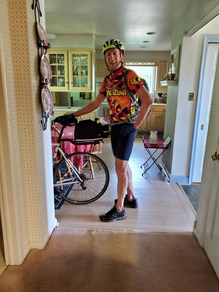
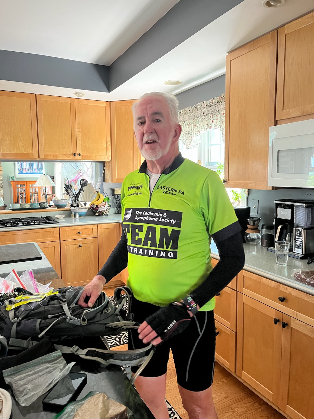
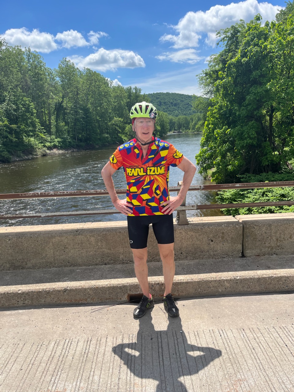
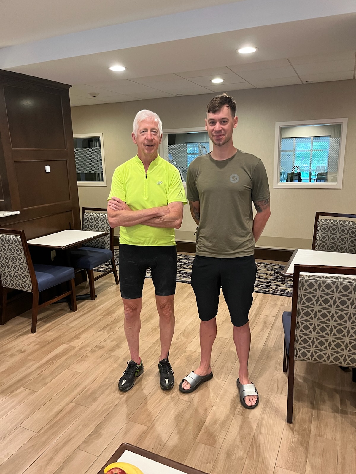
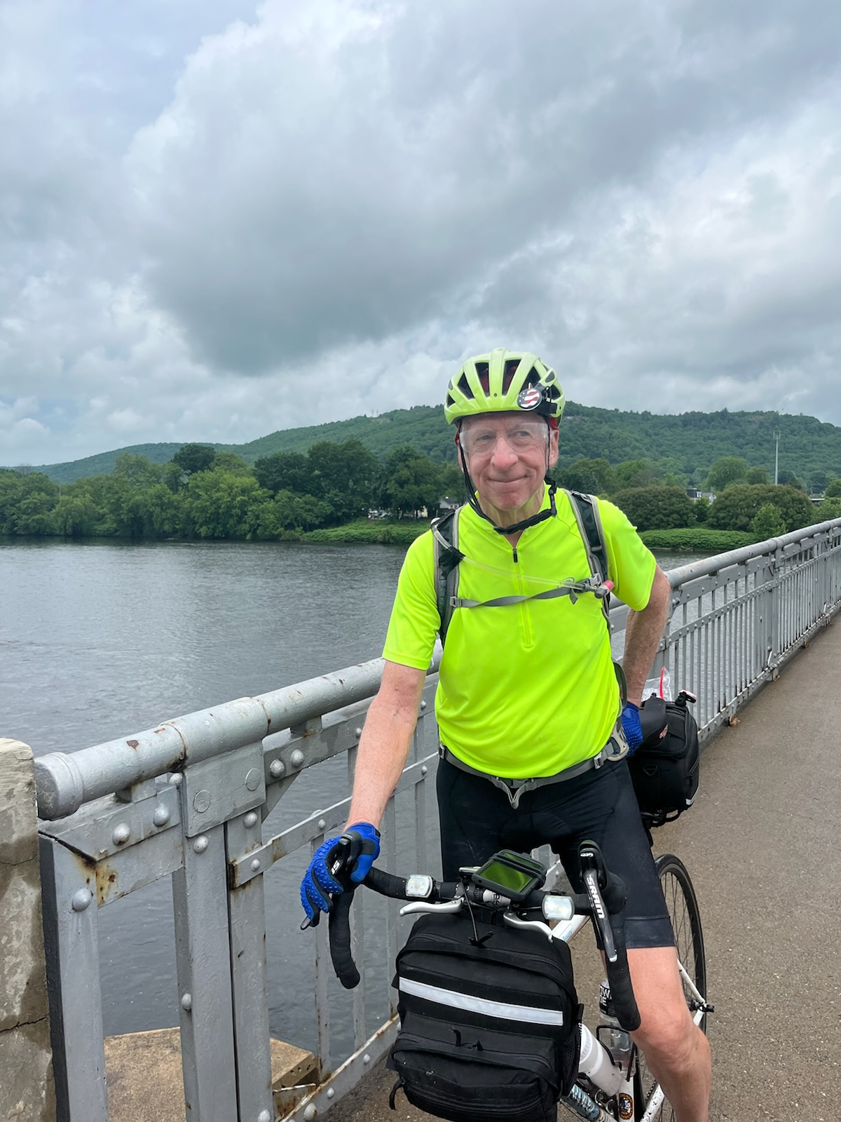
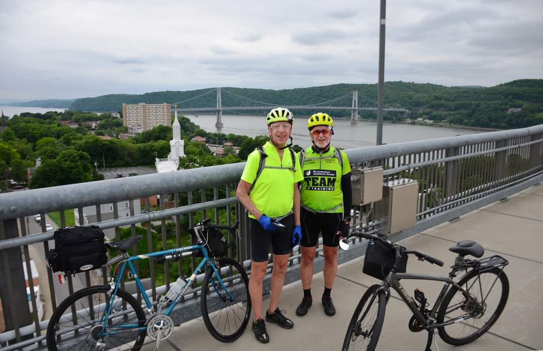
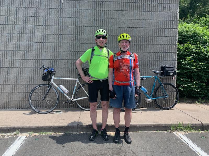
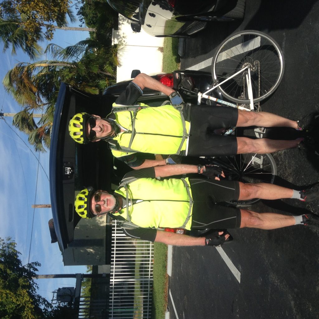
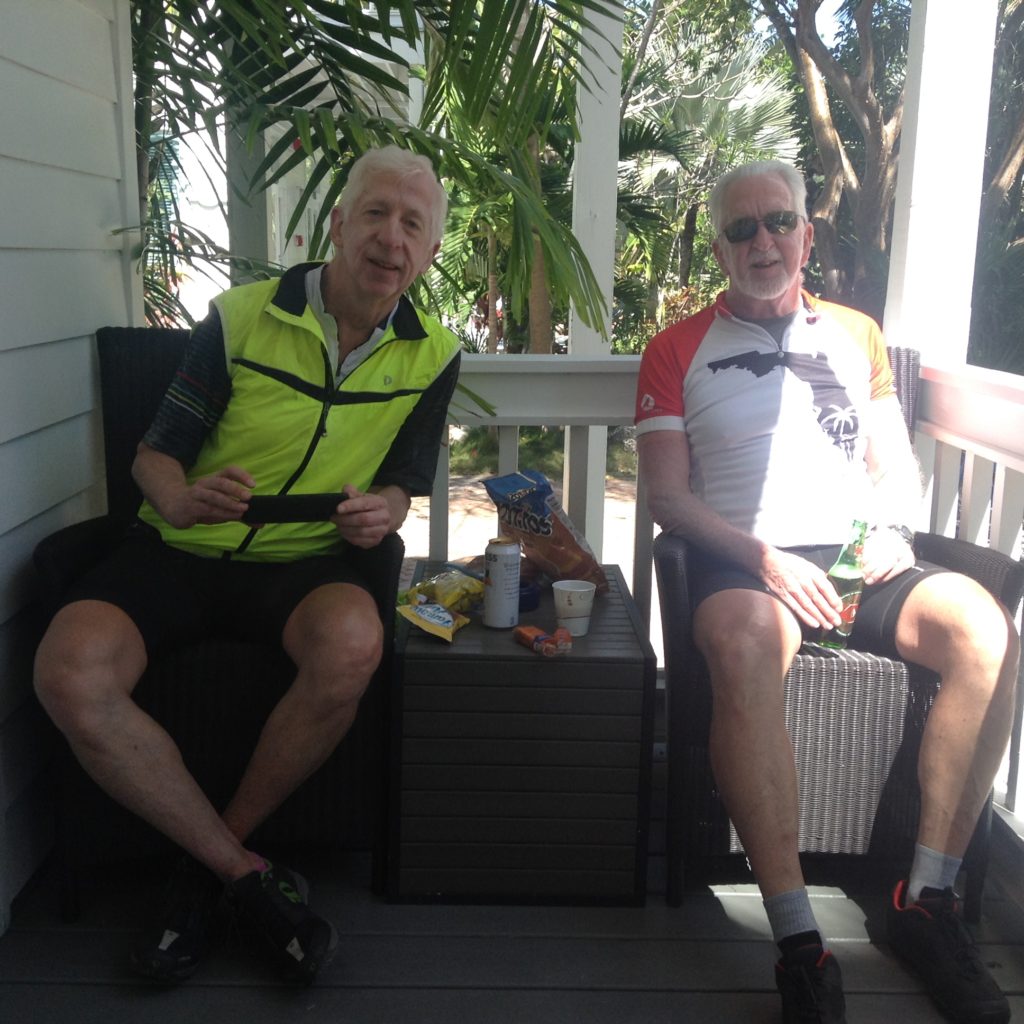
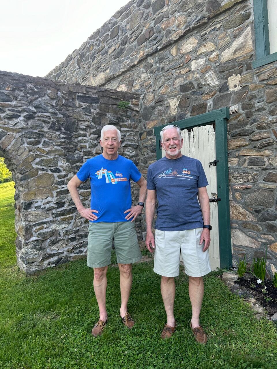
Here is a photo of Tim and me taken yesterday evening, before going to bed and trying to get some sleep last night. 

More blogging and photos tomorrow. Good night for now.

Today was our longest day, which ended up at about 76 miles for me and close to 80 miles for Tim. We rode on nice PA back roads and on the Saucon Rail Trail as well as the Perkiomen Trail, the Skippack Trail, and the Schuylkill River Trail. I am honestly impressed by how bike friendly Pennsylvania is and much more so than I realized! People were generally very courteous as they drove by us on our bikes.

Here are today’s photos, again courtesy of Tim.

Brian on the Saucon Trail near Bethlehem, PA.
Tim on the Saucon Trail also near Bethlehem.
We met Louise, Scott, and their dog Lea, not too far from the end of the Saucon Trail.
Brian at lunch just outside of Quakertown, PA.

After passing through Quakertown, we made it onto the Perkiomen Trail about 6 miles from one of its end points. Here I am pointing to where we started riding on the Perkiomen Trail.

The Perkiomen Trail is 20 miles long and we rode on 14 miles of it today.
Tim took this photo of me at the front of Perkiomen Bikes, on the Perkiomen Trail in Schwenksville, PA.
Not to far from the end of the Perkiomen Trail, we saw folks in Kayaks boating on the Perkiomen Creek. It looked like a lot of fun!

After biking to the end of the Perkiomen Trail and then doing 2 miles on the Schuylkill River Trail, followed by another 2 miles on the bike path through Valley Forge National Historic Park, we headed out of Wayne, PA by riding up Valley Forge Road and Devon State Road. Google maps wanted us to ride south up PA 252, but we thought that would be too dangerous. We eventually got onto 252 at Episcopal Academy and then went onto Bishop Hollow Road in Newtown Square.

Tim and I parted at the intersection of Bishop Hollow and Providence Road and Tim took this photo of me.
Here is Tim at the same intersection.
Nancy took this photo of me in our kitchen right after I came home.
Marcia took this picture of Tim, right after he made it home.
Nancy and I watched Mass on TV as soon as I came in the door.

We’ll be working out the rest of the Atlantic Coast Route and how to complete it in the coming months.

Today’s ride was 67 miles, mostly on PA state routes, including 209 and 512 and I think 211 also, all of which were mostly fine. As we got close to Easton we also rode on the Plainfield Township and Palmer Township bike trails, both of which were nice, and we took some good pictures while biking on the Plainfield Township trail, which I have included below. The only other notable comment is that we climbed almost 2400 feet, which I wasn’t expecting. Google maps told us there would be a steep hill, but it wasn’t until we had left Bangor and were making our way to the Plainfield Township trail that we turned onto Mill Road, and that was the one steep hill. We stayed on our bikes and made it all the way up, tacking to the top since there were no cars coming either way. Here are today’s photos, all courtesy of Tim.

I’m pretty sure this was after getting to the top of the Mill Road hill. Out of breath!
At our first rest stop, about 12 miles out of Matamoros. Aren’t you glad I changed my shirt?
Tim at our first rest stop on 211 South. Not too much later, the road was milled, making the surface really rough!
This was at lunch, not too far from Delaware River Gap. The stream is a tributary of the Delaware River.
This was also at our lunch stop, a very pretty place to stop.
Riding on the Plainfield Township trail.
Tim at our last rest stop of the day, on the Plainfield Township trail.
Brian on the same final rest stop on the Plainfield Township trail.
Brian biking down the Plainfield Township trail.

Tomorrow our plan is to make it all the way home from our Hampton Inn in Easton, a distance of more than 70 miles. Hopefully we will make it and escape the rain again!

I would be very remiss if I didn’t thank Beth, who really helped me a lot with these posts, all done on my phone and challenging because of that. So thanks Beth 😊!

Today’s ride was pretty good! We still climbed about 2000 feet, but none of the hills were so steep that I would need to get off my bike and walk it up the hill. So I count that as a big victory since today was the first day I didn’t have to do that at all. In fact, it was a pretty uneventful ride which was about 53 miles and took us about 5.5 hours of riding, very close to what Google maps predicted. We did not use the Adventure Cycling Association maps at all today. I used my phone to navigate and Tim took all of today’s photos. Speaking of which, here they are.

This is Brian with Nate, who we met at breakfast in the morning. Nate works for Specialized and told us all about the electric assist bikes that the 76 and 80 year old guys had yesterday.
This is Tim on the Wallkill trail we took this morning. About the first 8 miles were crushed stone and not maintained at all. But the last 3 miles were paved asphalt and were really nice!
Here is Tim at one of our few rest stops today. This was not too far from Port Jarvis, NY.
This was just before we crossed the Delaware River while in Port Jarvis, NY.
This is Brian just over the Delaware River in Matamoros, PA. We were about 2 miles from our next hotel at this point.
This is coming into Matamoros, PA after crossing over the Delaware River.
This picture was actually from yesterday taken by Fred Schaeffer on the Walkway over the Hudson. Fred put it up on Facebook, Nancy friended Fred and then texted me the photo.
This was our first photo of the trip, which Steph took and texted us. So this is actually from 2 days ago!

Tomorrow we head to Easton, PA, about 67 miles from Matamoros. We didn’t get rained on today and probably won’t tomorrow either. Hope not, anyway.

Even though we still climbed almost 3000 feet and today traveled 63 miles, it was a much easier ride, even though it took us almost 7 hours to finish. We met some really interesting people and had some nice conversations, as well as visited Rhinebeck, NY, whose architecture reminded me of downtown Media. We were on NY Route 9 for a good stretch, riding past the FDR museum and library, the Vanderbilt mansion, and the Culinary Institute, all of which are really neat places. It all made me want to come back up here soon with Nancy, even though we have been here before (more than once). Here are some of the day’s photos.

We finished the day with 8+ miles of riding from the Walkway onto the Empire State Trail, which took us right to our hotel, a Hampton Inn. Our rooms are nice but our dinners did not compare to last night’s, but that was OK. Tomorrow we ride to another Hampton Inn in Matamoros, PA. We might get rained on, but hopefully not.

Tim and I got a great ride up to Windsor Locks from Stephanie, Matt’s wife and Tim’s daughter-in-law, who picked us up at our houses in Media, shortly after 7am. Here is a photo of Steph and Tim as we’re driving over the GW bridge.

We made it up to Windsor Locks by about 12:30 p.m. and started riding by about 1 p.m. It was a pretty tough ride, with about 3000 feet of climbing and the hills were super challenging. I ended up walking my bike up portions of 5 long hills. Not having a granny gear, being fully loaded, and the really hot (91 degrees) weather were contributors to my walks, but I also just wasn’t ready mentally for the hard climbs. But we did finish the 50 miles after about 6.5 hours of riding (and walking).

Here are some of the day’s photos.

At our first and only rest stop.

A beautiful dam that we crossed on our first day.

Tim standing by the beautiful dam.

My bedroom at the White Hart, Salisbury, CT.
Tim’s bedroom at the White Hart, Salisbury, CT.

We didn’t get to the hotel in time to eat dinner there, but walked to the Neo Restaurant, about 1 minute away and had a great meal. We got back to our rooms by 9:30 p.m., called our wives and were asleep by 10 p.m.

Aside from the Day 1, this was the easiest ride of this trip, thanks mostly to a generous tail wind! Our ride today was about 61 miles. I personally found biking over the 7 mile bridge was more interesting than worrisome. There were only 2 lanes for motor vehicles, one for each direction, and the drivers were very courteous, moving towards the center as they passed Tim and I, when there was not another vehicle coming from the opposite direction. At that point, the tail wind was so strong that we were doing about 13 mph without pedaling, which was really nice! Just over the 7 mile bridge, and about 23 miles into today’s ride, we stopped at Veteran’s Memorial Park on Little Duck Key, which was a beach with a picnic table. Here are the pictures from today’s ride, starting with photos from our stop at the beach park.

A view of the Atlantic Ocean from the beach park at our first stop. The water looked so inviting that I was tempted to take off my shoes and socks and wade in. But getting all the sand off my feet afterward would have been challenging, so I opted not to do that.
Tim sitting at the picnic table at Veteran’s Memorial Park on Little Duck Key, where we had our 1st stop of the day.
Here is Tim at our 2nd stop at Cudjoe Key, where we left U.S. 1 to use the adjacent bike path. We were 24 miles away from Key West at this stop.
Another view of the bike path on Cudjoe Key.
A view of the colorful water just past Naval Air Station Key West. This was about 10 miles away from our hotel.
Tim and I on the porch of our hotel, shortly after the ride ended in Key West. I am on my 1st Guinness Stout.

After completing the ride, we disassembled and packed up our bikes, and we will check them with our luggage for the flights home tomorrow morning. Then after showering, Beth, Tim and I walked to the Truman White House in Key West, where we took an extremely interesting and informative tour. While we were packing up our bikes, Nancy and Beth walked to the Hemingway House at Key West.

The Truman White House, Key West, FL.

After touring the Truman White House, we walked back to our hotel and Tim, Nancy and I then walked to the 6 pm mass, after which we ate dinner at Duffy’s Restaurant and Bar, about 2 short blocks from our hotel.

All tolled, we biked about 550 miles on this trip, which I think is the most we have ever biked on any leg. It was a tough trip but it ended nicely.

The last morning send off. The Hawk’s Kaye Inn was quite lavish but the perfect distance from Key West for our last day’s ride. The winds were very strong between 20 and 25 mph but fortunately out of the NE. They were more of a cross wind than a tail wind but definitely helped push us along,
This was our first rest stop today. We had travelled around 20 miles and, more importantly, we had just finished Seven Mile Bridge. It was every bit of seven miles. I was gripping my handlebars with both hands the whole way.
Way off in the distance is Seven Mile Bridge. Brian came close to taking his shoes off and walking into the water. It did look inviting.
I took this picture since it was typical of the dozens of bridges we crossed today between keys. I don’t know why they call all these islands keys.
We wondered for the last two days when the road was built. It is a remarkable engineering feat. I hope you can read this road sign explaining the history of the road, formerly 4A but now called US 1.
Our last rest stop of the day and the trip. The pictures I took for the last two days just don’t show the true aqua color of the water in the keys.
A celebratory beer at the end of the trip. Altogether we biked around 540 miles over 9 days. We saw a spring training game, had dinner with Arlene Sullivan and saw the Truman Little White House here in Key West. We both have a sense of accomplishment for finishing a long ride in good spirits. We stayed in some very lavish places which helped regenerate us for the next day’s ride. Good job to Beth for making the arrangements and to Nancy for good cheer and great sandwiches. Thank you to both for making this possible. Beth says this was her last trip. We’ll see if we can’t change her mind.

Today’s ride was 68 miles and it sure felt like most of it was with yet another headwind. But since I picked the direction of this ride from north to south, I can only blame myself. I really do not enjoy biking against a headwind. We got away from our hotel at about 8:15 AM and made it to our hotel (Hawks Cay Resort on Duck Key – a really nice place!) at 3:30 PM. Here are the photos from today’s ride.

Our first rest stop was in Key Largo, about 22 miles from Florida City. We stopped in the courtyard of St Justin the Martyr Catholic Church.
Here is a photo of Tim finishing his morning yogurts in the courtyard of St. Justin the Martyr in Key Largo.
I took this picture when we stopped at the crest of one of the bridges on the keys. The water is a greenish blue that is very striking.
Tim eating a sandwich at our final rest stop of the day.
The view of the water at our last rest stop.
The pool at the Hawks Cay Resort was really nice, and Beth and I swam in the pool about an hour after Tim and I arrived. Here is a photo of Nancy and me by the pool, shortly before going to an excellent dinner at the resort.
The bar bill for our after dinner drinks. Pretty impressive, especially the price for the 18 year old Scotch whiskey. Still, this resort is really nice!

Tomorrow is our final ride of this leg, with 61 miles to Key West. A tailwind would be lovely, but at this point I feel it is unlikely, regardless of the weather forecast.

Today’s route out of Fort Lauderdale Beach and through Miami was very complicated, so Tim and I decided not to try to use the Adventure Cycling Association maps and instead we used google maps biking directions for a little more than half of the ride, and then again at the very end. Whenever we use my phone for the directions, I really can’t use it to take photos. Once we got out of downtown Miami and onto a bike trail that was constructed beneath the Miami Metro Line (and called the M Path), I stopped using my phone for directions. However, I only took this one photo:

Here is Tim on the M Path, with the Metro Line elevated to his left. We did the last 30 miles of today’s ride on the M Path and the South Dade bike path, which connected to the M Path once the Metro Line ended.

The two trails, the M Path and the South Dade bike path, were safe, but there were numerous intersections, which tended to slow us down a bit. We left our hotel in Fort Lauderdale at about 8:30 AM and made it to Florida City at about 4:15 PM. We stopped three times for brief rests and to eat. It was about 65 miles in the heat and humidity – it got close to 90 degrees today, and the humidity was probably close to 90%. So it was definitely a difficult ride today.

Tomorrow we ride to Marathon on Duck Key, which is about 67 miles. I am hoping we do not have another head wind tomorrow.